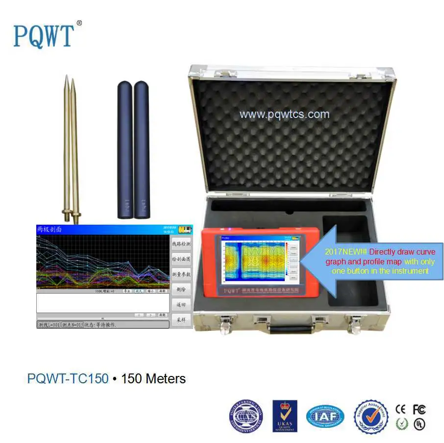
Description
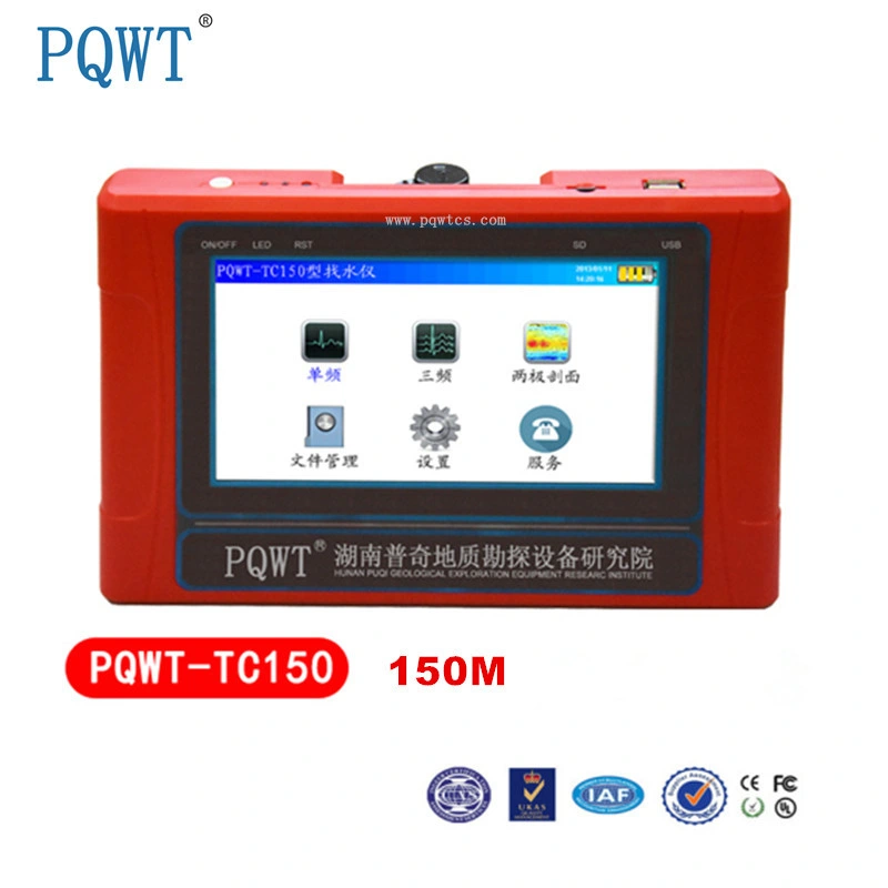
150m automatic mapping underground geophysical instrument water detector
Product Advantage :
> Full Automatic mapping with one button in the instrument after finishing detection!
> The alloy electic bar and import cable line
> Four Language(Chinese/ English / French / Arabic) to optional
> The header manufacturer with competitive price and good service!
> PQWT-TC series owned 7 National patent (Including 3 patents for invention , 3 patents for utility models,1 patent for appearance)!
> ISO 9001:2008 Cerficate , SGS certificate !
Introduction to Instrument
PQWT-TC 150 multi-functional water detector is a national patent product,it is full automatic mapping water detector after sampling data no need the computer drawing mapping,the instrument break the traditional
electrical prospecting exploration cloth wiring, uses an electric field source eliminating the need of heavy
earth complex supply section , it is very portable, you only need one to two people to do exploration,
a collection point just need five seconds to five minutes , the instrument uses a single selective menu ,
data acquisition accuracy rate up to 0.001mv. Applicable to a variety of geological environment of the city ,
mountains, plains, mainly used for fast search and evaluation of all kinds of metal ore,non-metallic minerals,
groundwater resources,solving engineering geological problems In the long-term use in practice
to prove: in solving the above problems have received significant geological effects , unanimous praise of the
relevant departments and the vast majority of customers .
150m automatic mapping underground geophysical instrument water detector
Main Features
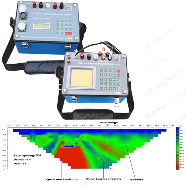
1. High Speed and High Efficiency
Complete more than 8000 meters profile measurement in one day to realize geological abnormality in
different depth, the prospecting speed and efficiency is improved about 10 times more
than traditional resistivity method.
2. Easy to Carry
Without heavy power supply, it uses low frequency signals in earth natural electric field as signal source,
and the complete set weight is less than 2kg so easy to carry
3. Simple Operation
Equipment is automatically controlled by micro PC. You can learn its operation in 10 minutes.
It will take 0.5h for persons without prospecting experience to finish training.
4. Good Accuracy, High Accuracy
The resolution of measurement is up to 0.001mV, and precision is ±2%. It gains high stability and
abnormity curves matching with that of traditional geo-electrical equipment in lots of field survey.
5. Anti-interference Ability
It has advanced anti-jamming technology and multiple anti-jamming designs.You can observe
abnormity curves result with good repetition even in weak signal area, city, high electric
jamming area and working area with other exterior interference via frequency
selector and digital processing.
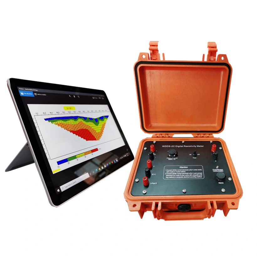
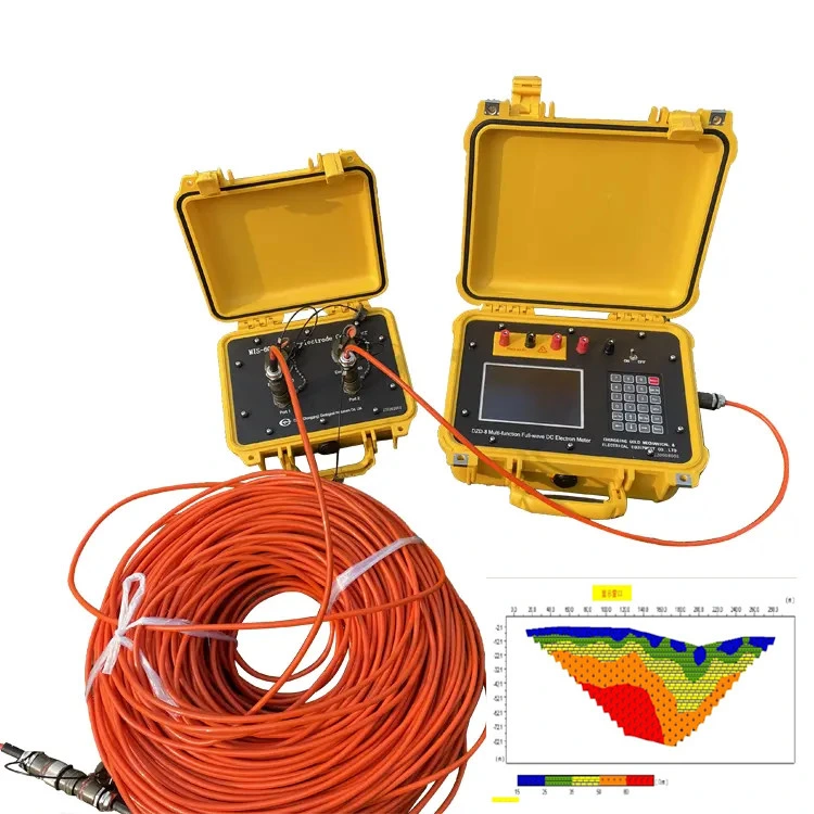
6.Mapping with one button
The detector is full auto-matic form mapping after sampling data no need the computer drawing mappin
7. Optional 4 Language
The 4 Language of Chinese, English, French,Arabic.
150m automatic mapping underground geophysical instrument water detector
Technical Parameters
Model No.
Depth
Accuracy
Channel
Frequency
LCD
PS
Other
PQWT-TC150
150 M
0.001mv
4
Single,
Triple
33Frequency
Industrial 7-inch HD touch screen
DC12V 4000mAh
Built-in Battery
1.Automatic noise reduction,
super anti-jamming.
2.User-friendly interactive
interface ,high-speed CPU
control, the menu prompts.
3.Automatic measurement,
storage of data,drawing curves.
4.The data will be saved
automatically after the
shutdown
5.It can store 999 single band,
tri-band and multi-frequency
measurement data.
6.The dat
 Complaint