Geographic Surveying Instrument High Precise Mechanical Total Station

Min.Order: 1
Product origin: Xuzhou, Jiangsu, China
Infringement complaint: complaintComplaint
US$ 3000

Description

Product Description

The total station adopts the newly designed bracket and carries out a comprehensive optimization design on the internal structure. Rubber pads are added at all gaps of the instrument to make the instrument waterproof and dustproof grade reach IP66. Built in large capacity memory and a variety of application measurement programs, powerful, stable performance, easy to use. It is suitable for building lofting, road lofting, topographic cadastral survey and control point survey.

Advantages

1.New bracket design

2.32-bit microprocessor

3.Absolute coding system

4.USB port fast communication

5.Laser ranging, prism free ranging 500m (R Series)

6.Large capacity storage, expandable SD card (standard 2G)

7.Large capacity lithium battery

8.Optimize software workflow

9.A new type of fast digital ranging head

Application

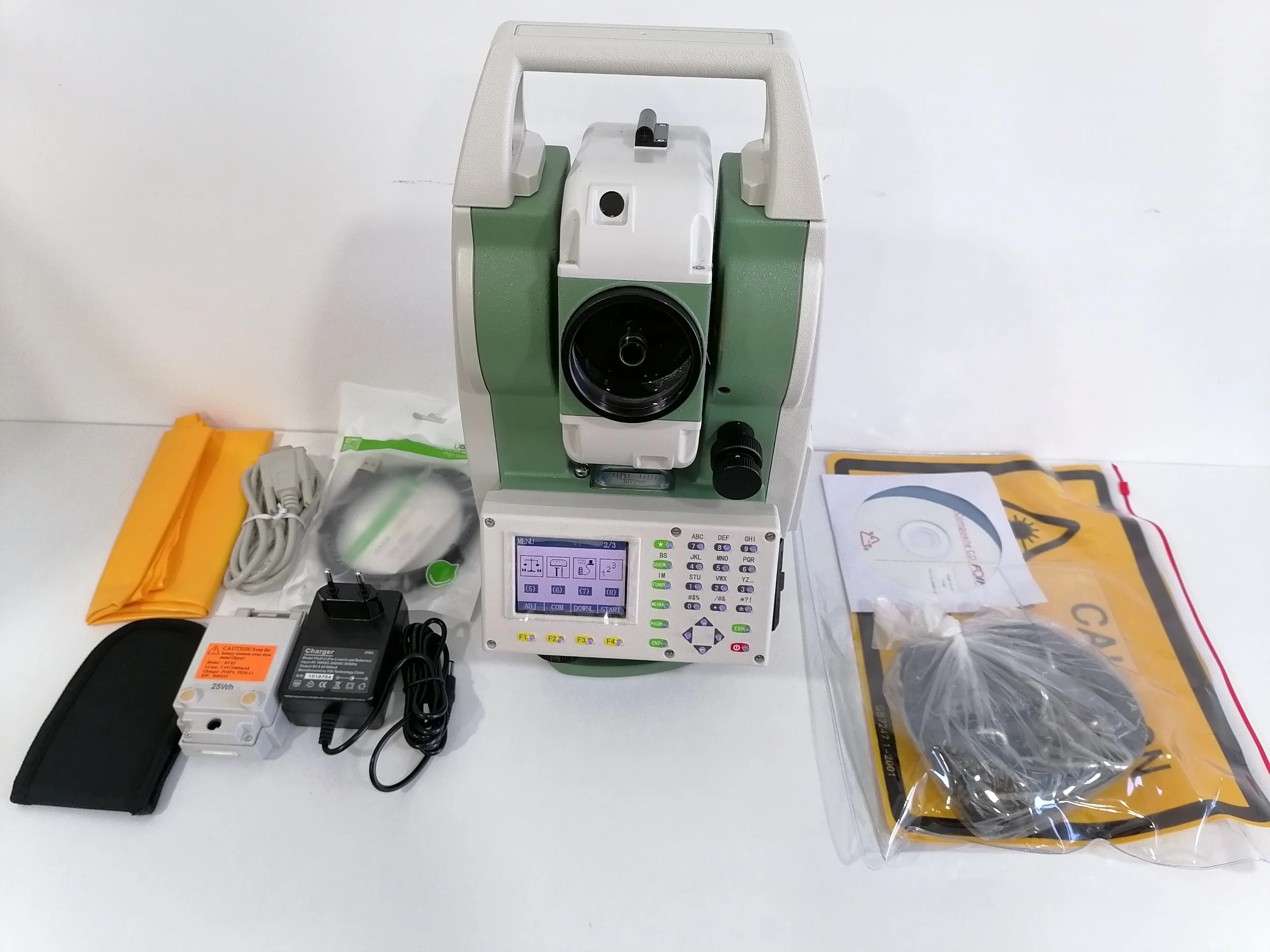
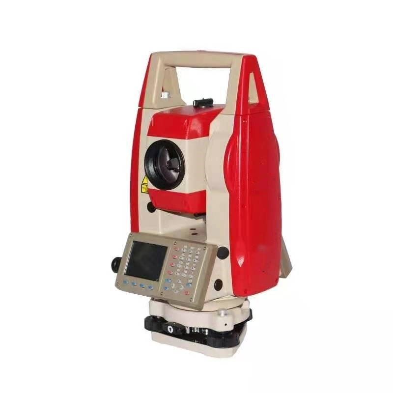
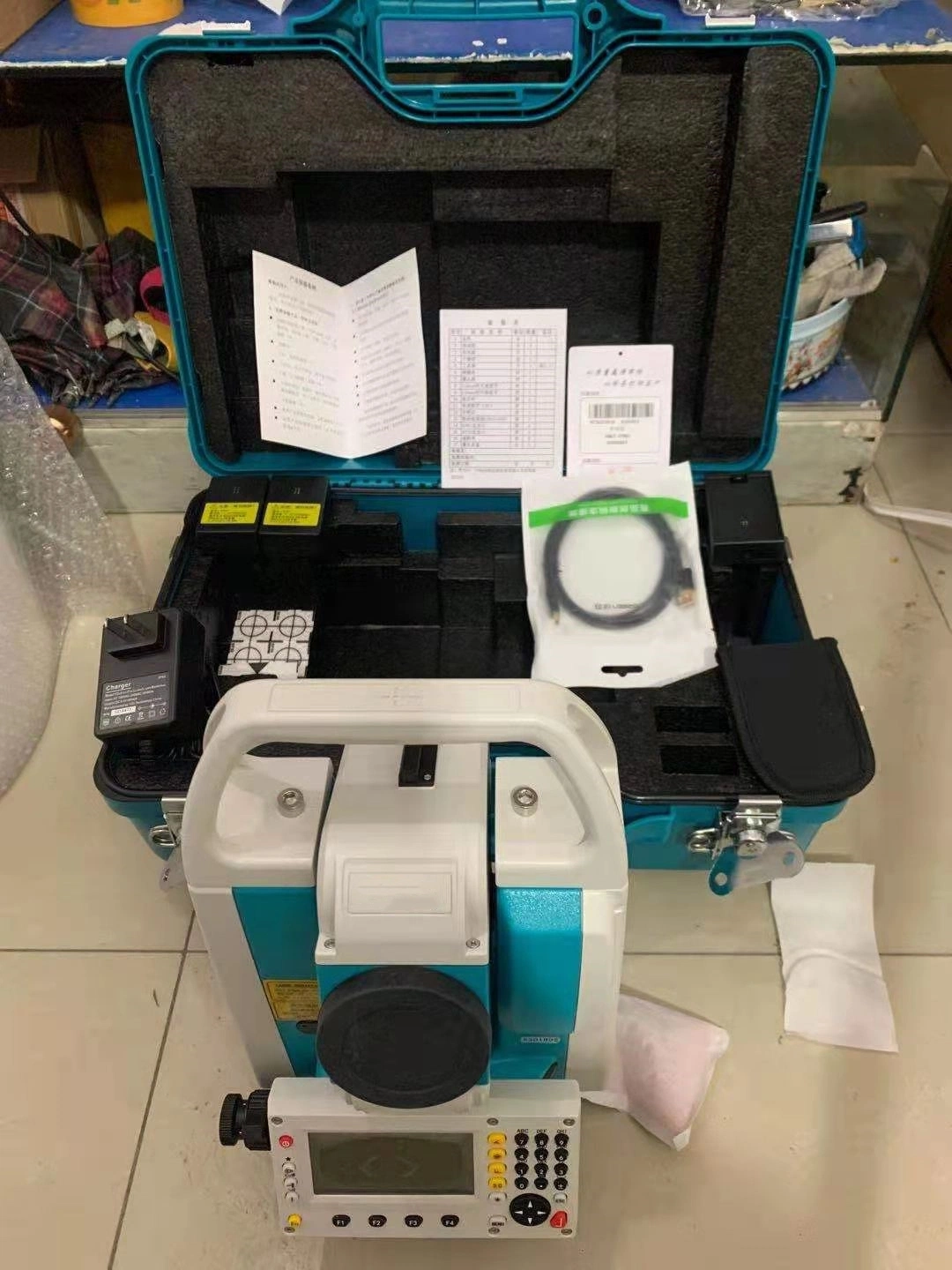
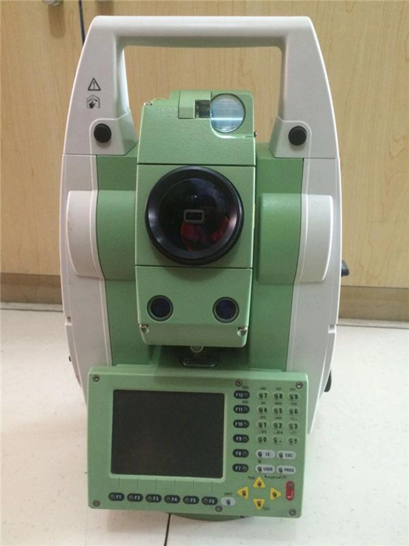
From the perspective of Surveying and mapping work, in a long period of time, the total station 1653 plays an important role in the smooth development of an engineering project:
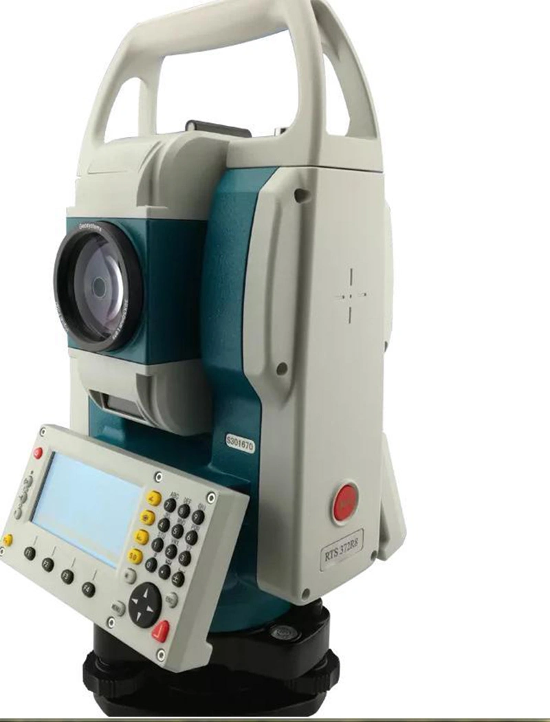
1. In the planning and design stage of the engineering project, the total station is used for topographic map surveying and mapping (according to the topographic map to calculate the earthwork, slope, building location, etc.);
2 In the construction stage of engineering project, various coordinate lofting work (foundation pit position, engineering pile position, axis transmission, etc.) is carried out. At the same time, in order to ensure the construction safety, various safety monitoring work (deformation monitoring) is also needed.


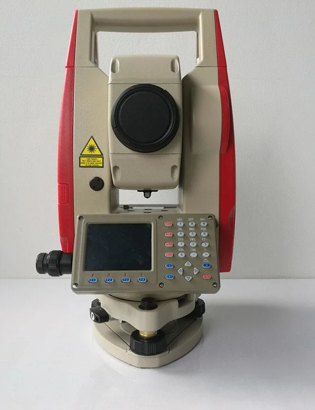
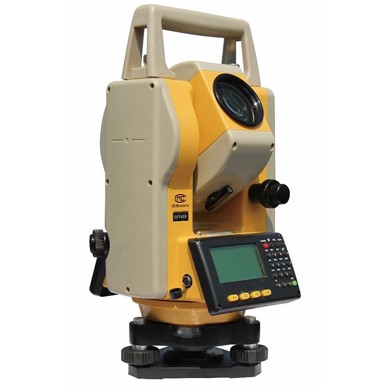
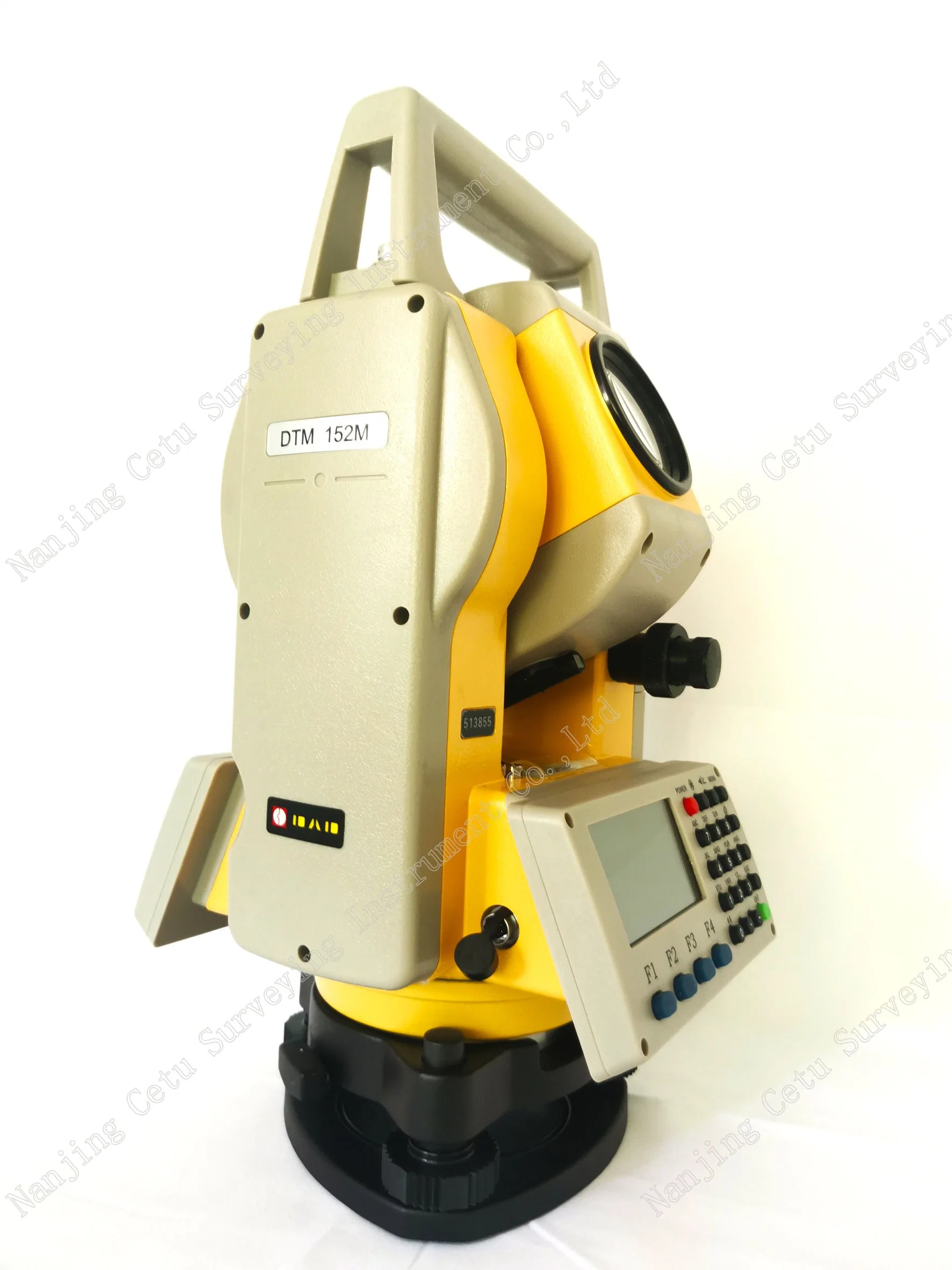
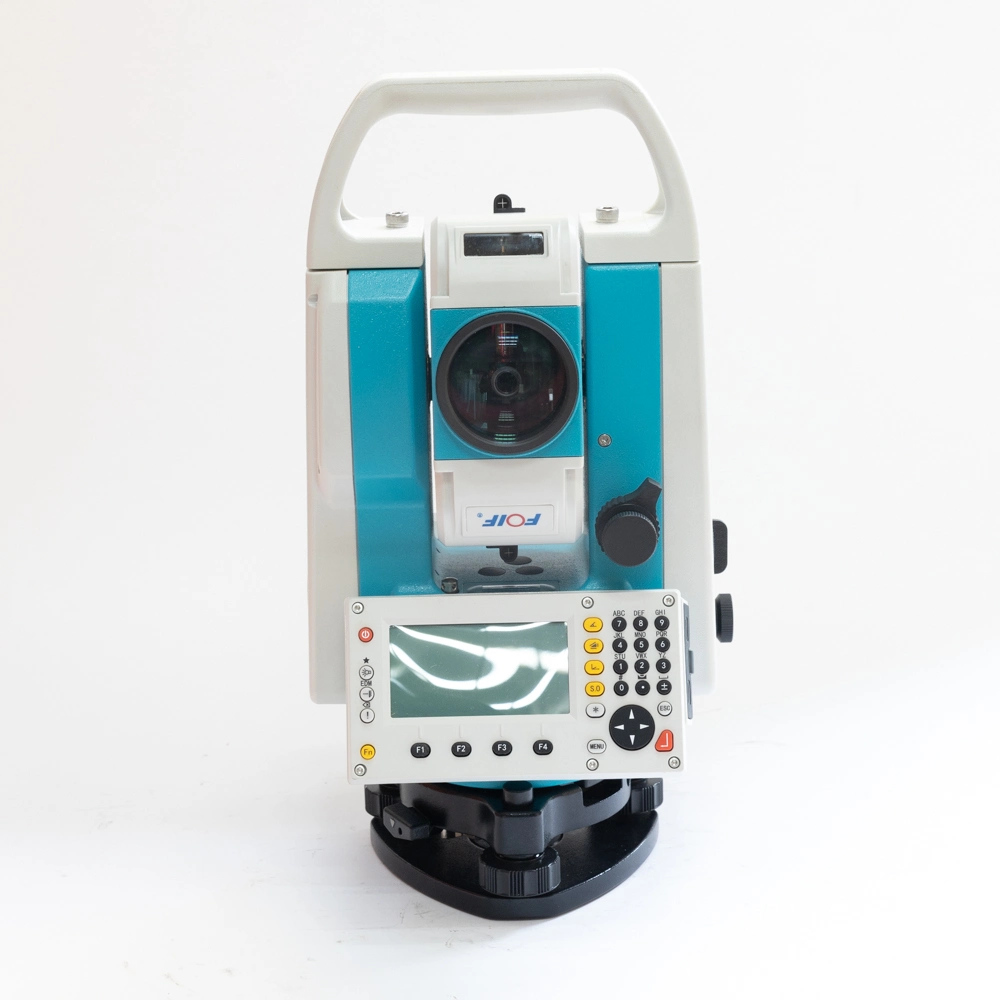
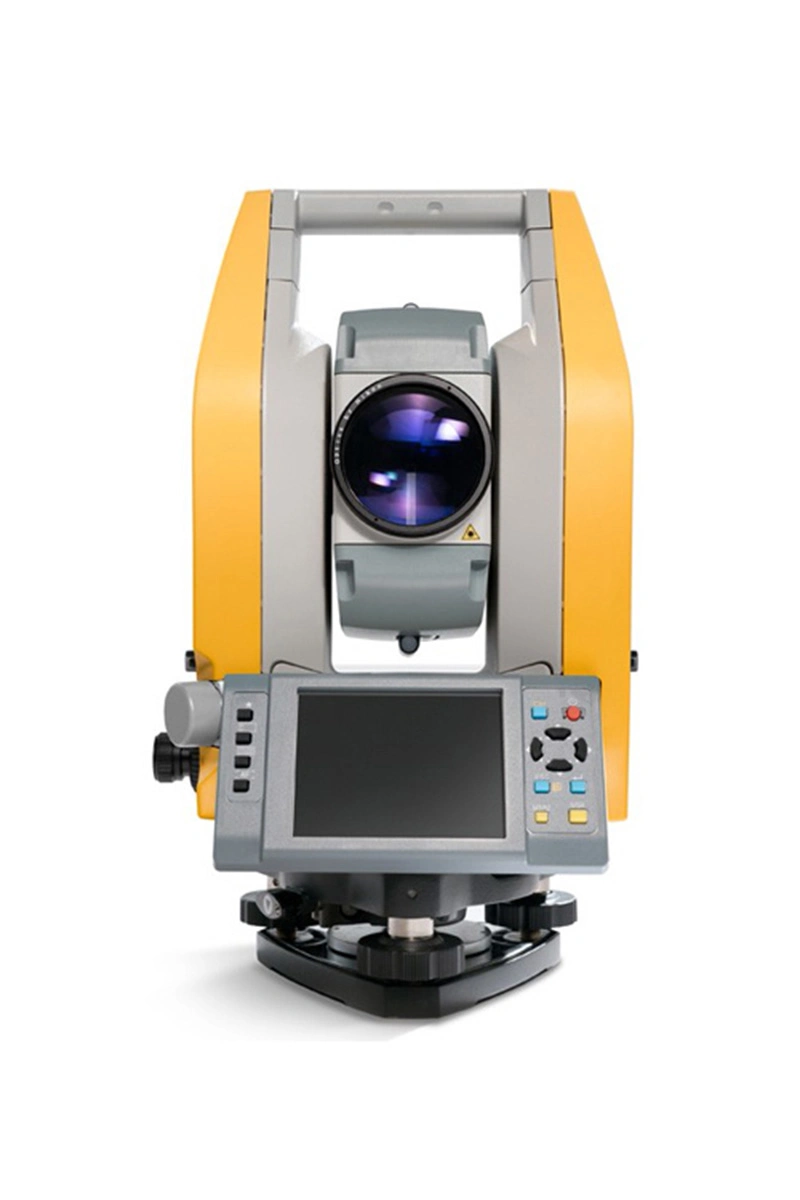
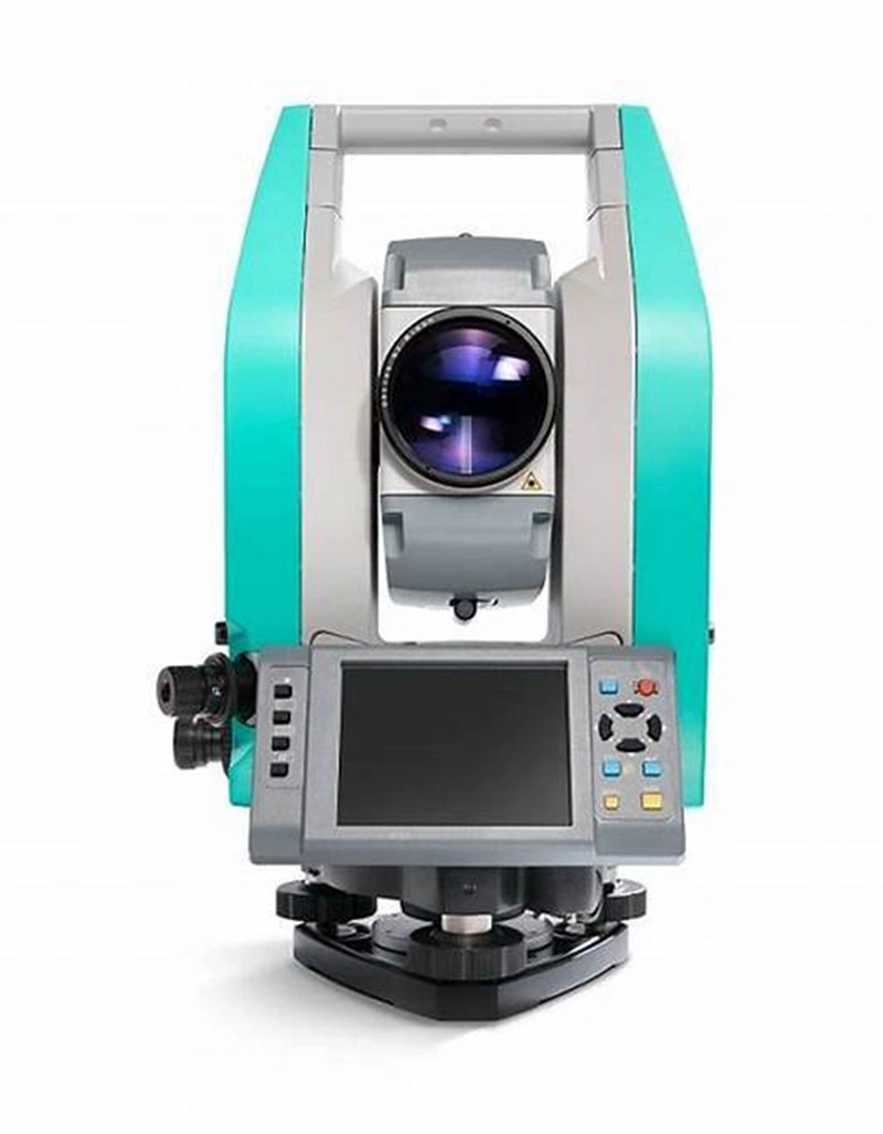
High precision design, new axis and four-encoder system are adopted to ensure measuring accuarcy, angle measurement accuracy reaches to 1″, distance measurement accuracy reaches to 1mm+1ppm.


Long reflectorless measuring distance reaches 1000m(R1000).
 

Scroll to Top