 Complaint

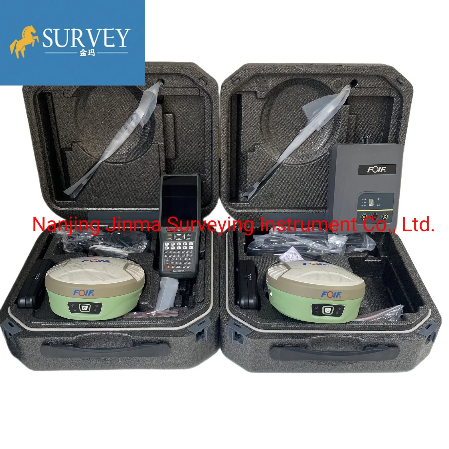
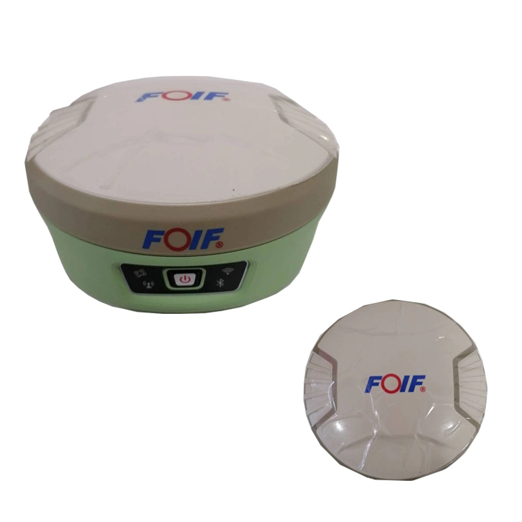
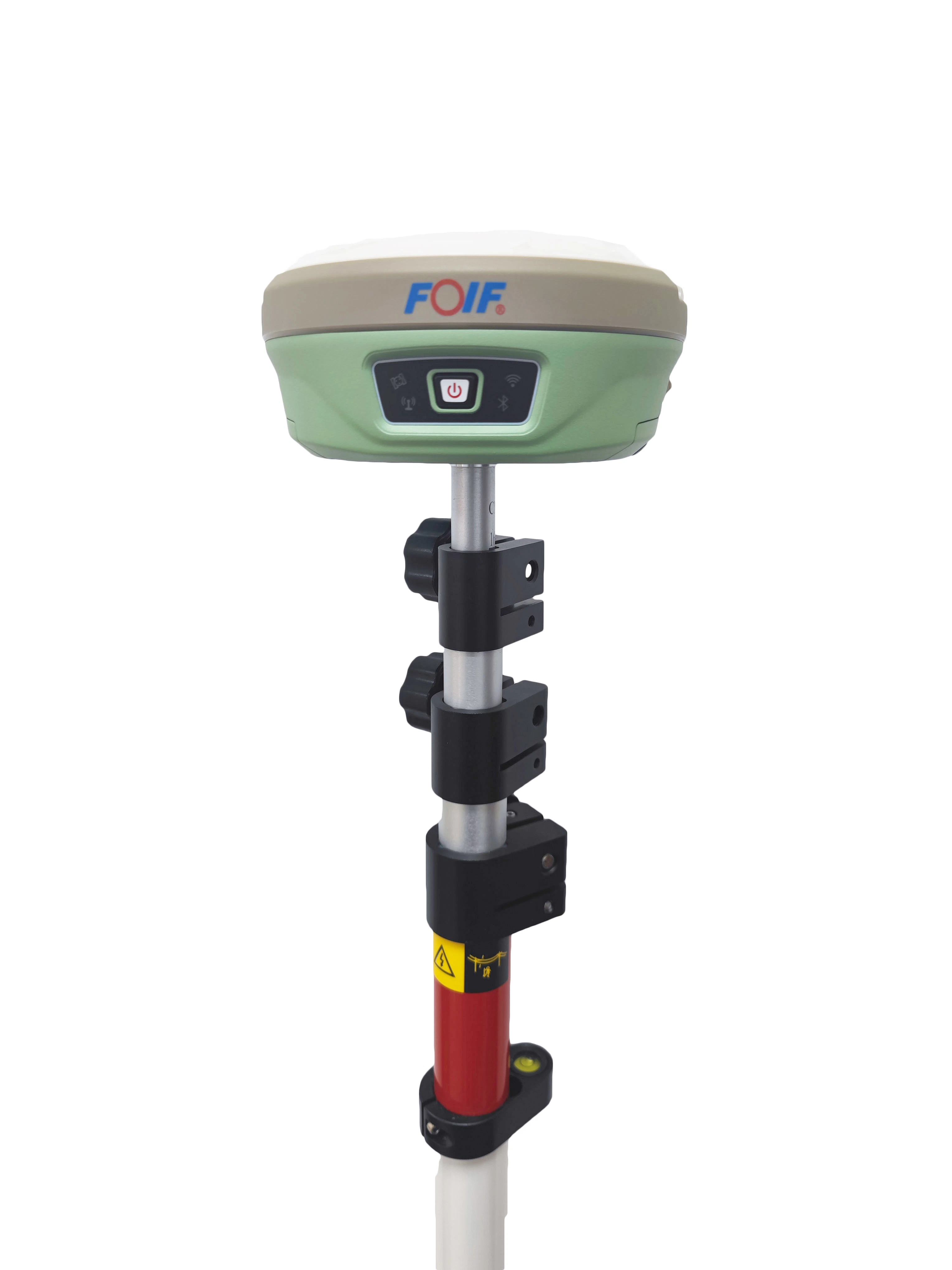
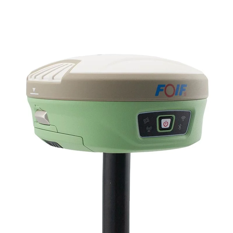
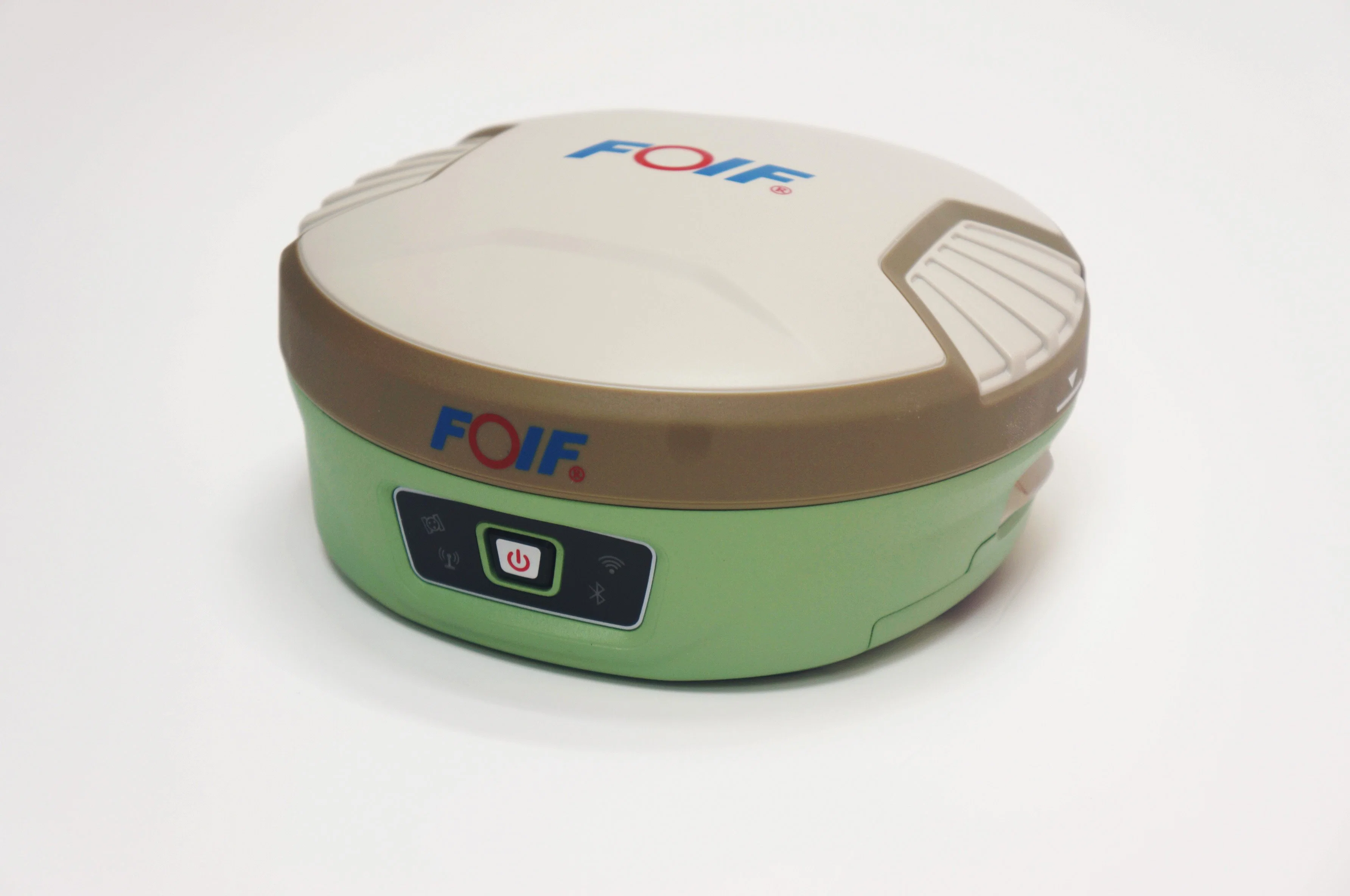
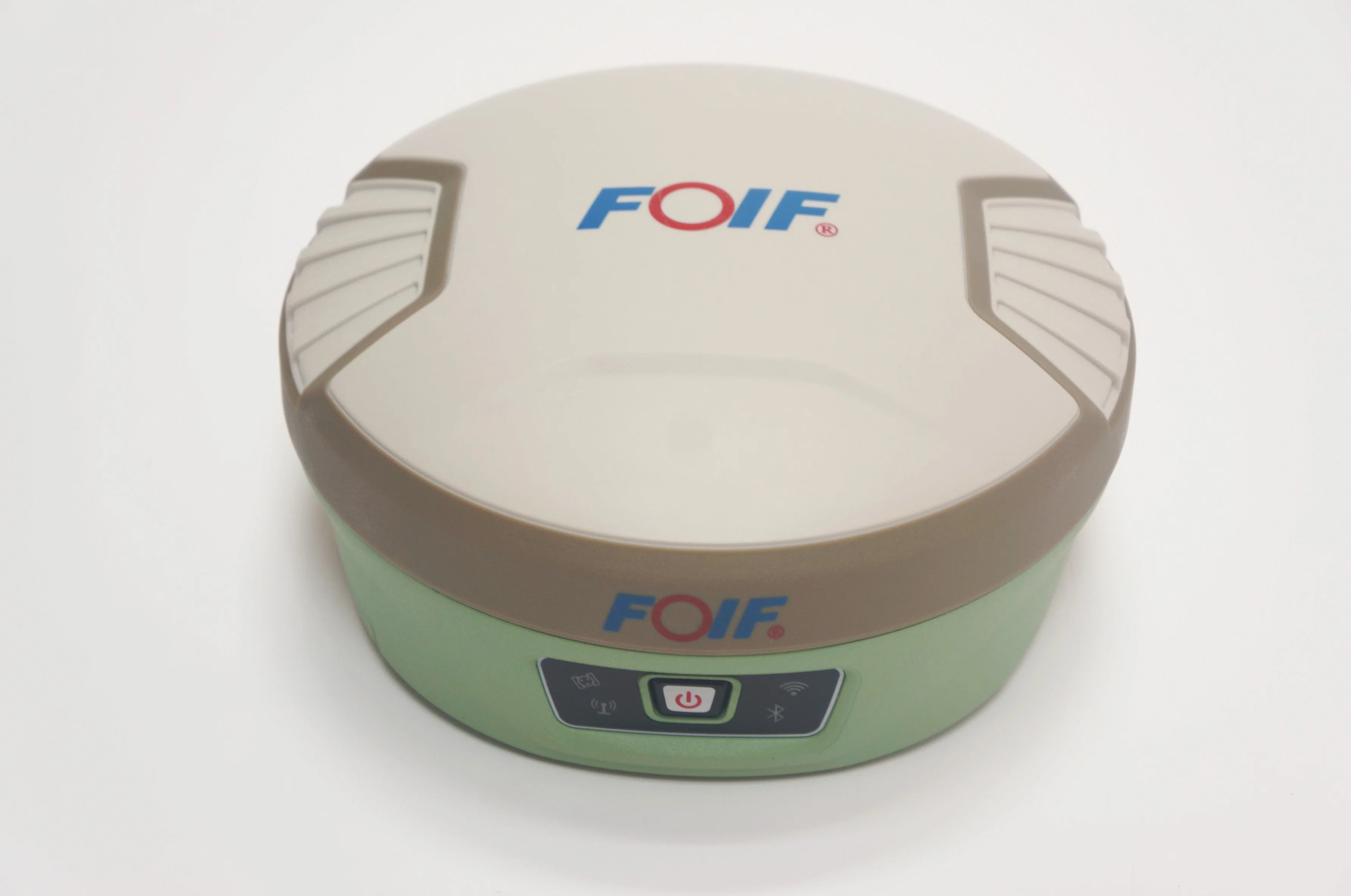
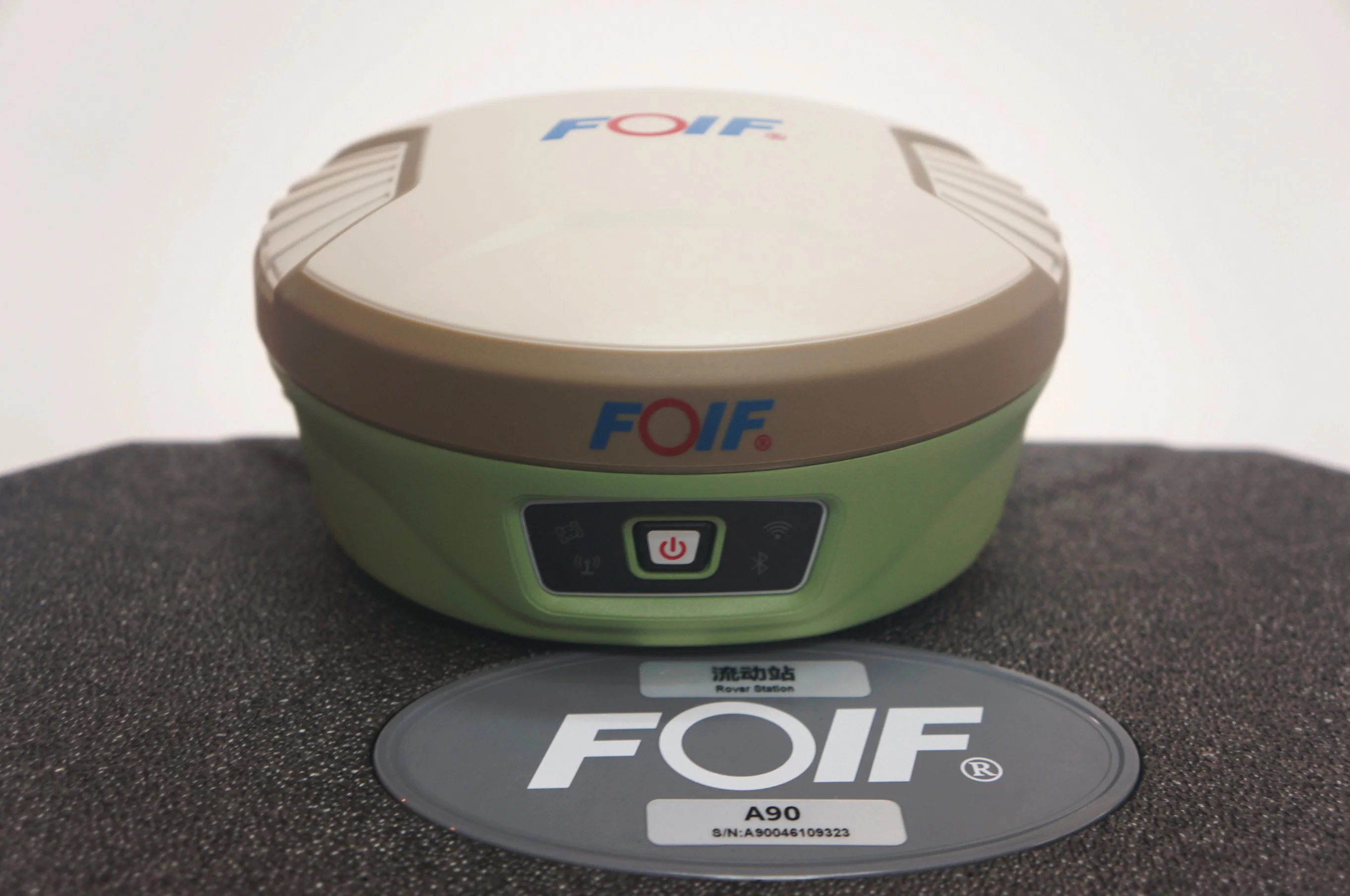
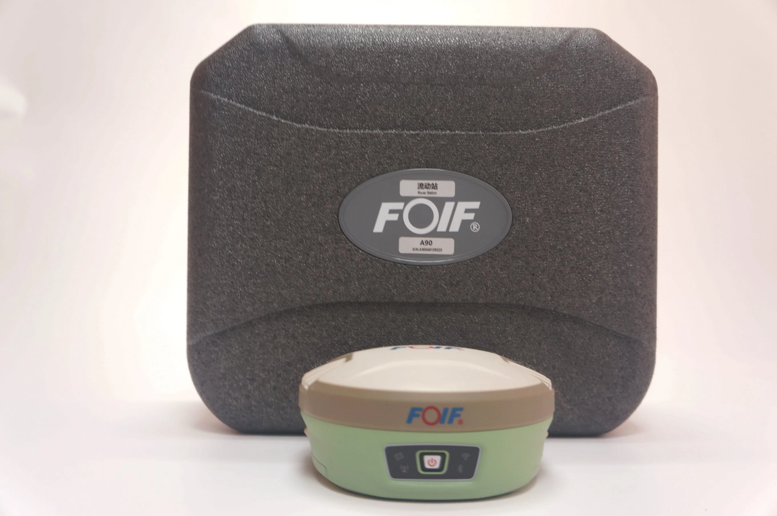
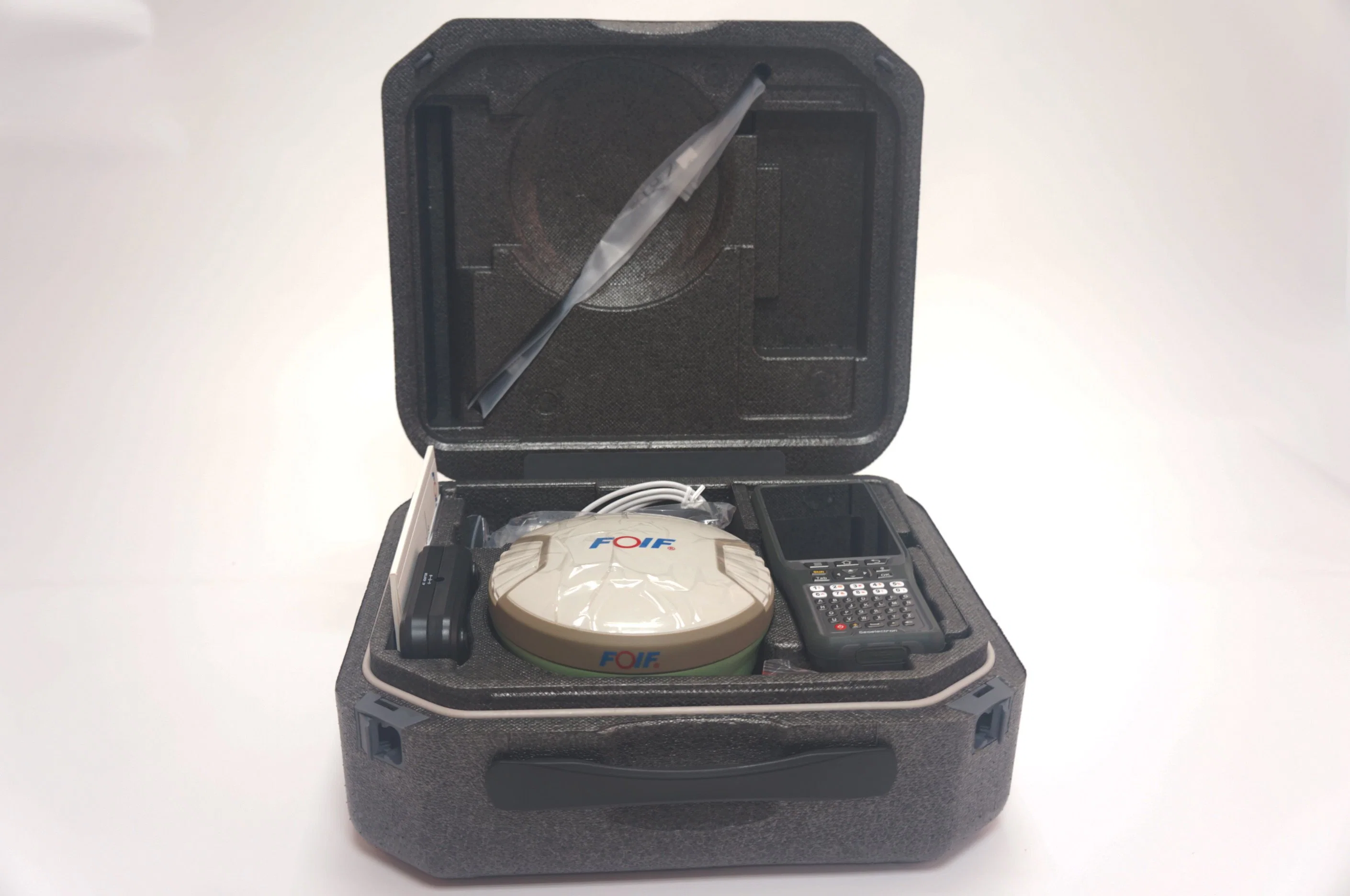
1) Smart Design
With the increasing demand for smart-design GNSS, to develop the receiver featured with miniaturization turns into our new goal until today it comes true. It is completely no doubt that small size and light weight design can greatly alleviate general field work and improve productivity a lot.
2) Brand new idea
In terms of cellular mobile and wireless system, we tend to introduce more and more creativities into our product. Besides a set of bluetooth, wireless radio and mobile network, we bring in the WIFI function which quite broaden data communications for GNSS.
3) Excellent performance
Embedded with high-sensitivity GNSS module , A90 can implement massive surveys:
RTK, DGPS, (SBAS) , Static, etc.
| Type | A90 | ||||
| GNSS System | 1408 channels | ||||
Performance | Static measurement plane accuracy | ±(2.5mm + 0.5ppm)RMS | |||
| Static measurement elevation accuracy | ±(5mm + 0.5ppm)RMS | ||||
| RTK measurement plane accuracy | ±(8mm + 0.5ppm)RMS | ||||
| RTK measurement elevation accuracy | ±(15mm + 0.5ppm)RMS | ||||
| SBAS postion(typical) | 0.5m | ||||
| Initialization time | <10s | ||||
| Initialization reliability | >99.99 | ||||
Environment | Working temperature | -30ºC~ +60ºC | |||
| Storage temperature | -40ºC~ +80ºC | ||||
| Water-proof & Dust-proof | IP68 | ||||
| Drop resistance | 2 meters at normal temperature | ||||
| Humidity | Anti-condensation | ||||
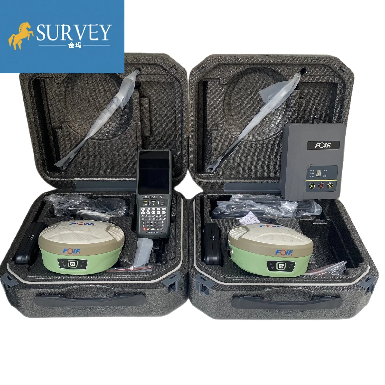
| Storage/data | Built-in storage | Onboard 8G, Support TF card expansion≥32G | |||
| Differential output | RTCM2.3, RTCM3.X, RTCM3.2, CMR, CMR+,RTCA | ||||
| Data safety | Data will be stored and backed up in three places after surveying | ||||
| Satellite Antenna | High performance 4 in 1 antenna: GNSS antenna/Bluetooth/WIFI/4G full netcom module is highly integrated | ||||
| Wireless communication | Bluetooth | Built-in V2.0 Class2 | |||
| WIFI | Directly connected to the handheld controller via wifi instead of bluetooth, support web UI wireless management: device upgrade, data download, parameter setting, station operation, etc. | ||||
| Communication protocol | PCC-EOT, TrimTalk 450S, TrimMark III,South,GeoTalk,GeoMark,Satel,HI-TARGET,ect. | ||||
| UHF radio | Bulit-in transceive | 0.5/2W | Effective distance≥5km | ||
| External transmit | 2/35W | Effective distance≥15km | |||
| Working Frequency | 410-470MHz | ||||
| Physical and Power Characteristics | Size | Φ15.6cm×7.6cm | |||
| Material | Lower cover is magnesium alloy, Top cover is polymer plastic | ||||
| Battery volume | 7.4V×3700mAH×2, Intelligent lithium battery, self power display | ||||
| User interface | 4 LED indicators, 1 button,voice | ||||
| Working time | >8 hours | ||||
| Auxiliary function | Electronic bubble, 2nd generation tilt survey function | ||||