 Complaint

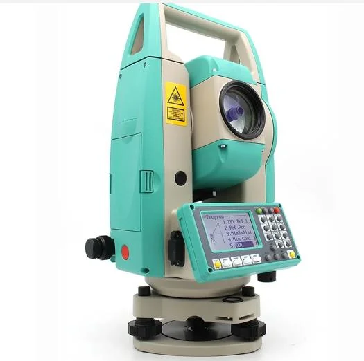
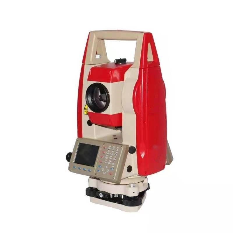
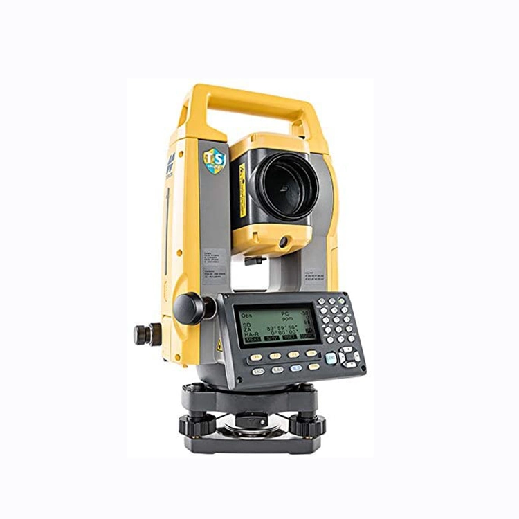
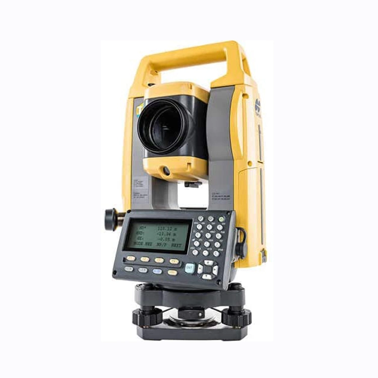
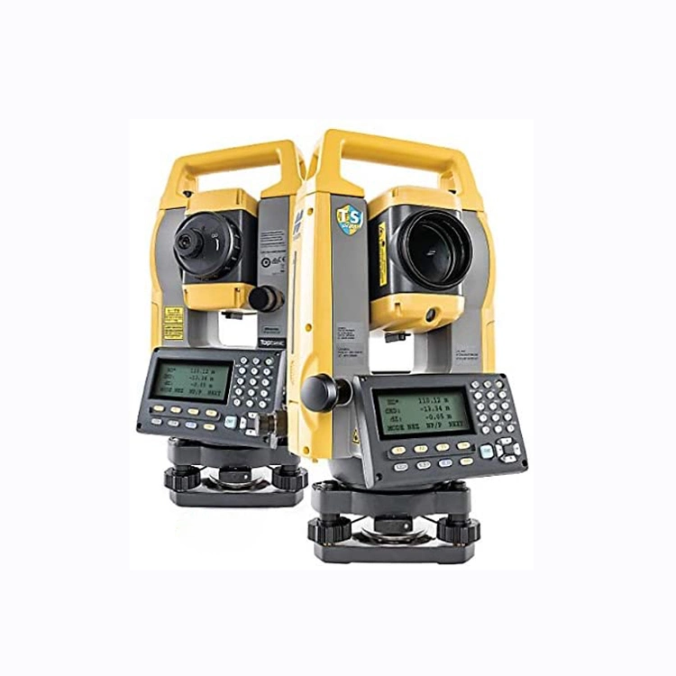
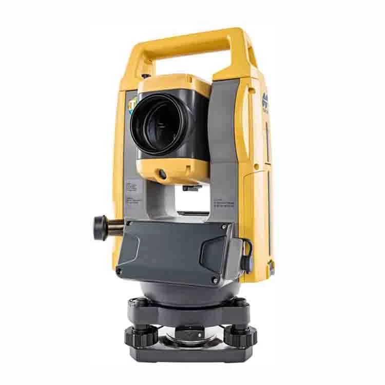
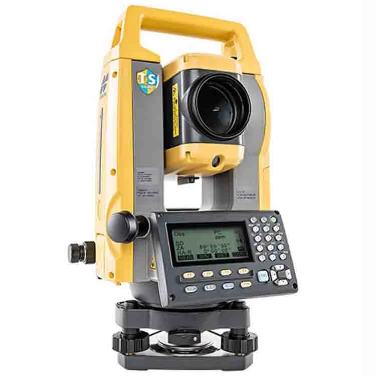
PRODUT SPECIFICATION
| Model | GM-101 | GM-102 | GM-103 | GM-105 |
| DISTANCE MEASUREMENT | ||||
| Laser output | Reflectorless mode: class 3R/Prism /sheet mode: class 1 | |||
| Measuring Range800m (under average conditions) | ||||
| Reflectorless | 0.3 to 800m (2620ft)/ under good conditions: 1000m (3280ft) | |||
| Reflective sheet | RS90N-K:1.3 to 500m (4.3 to 1640ft) RS50N-K:1.3 to 300m (4.3 to 980ft) RS10N-K:1.3 to 100m (4.3 to 320ft) | |||
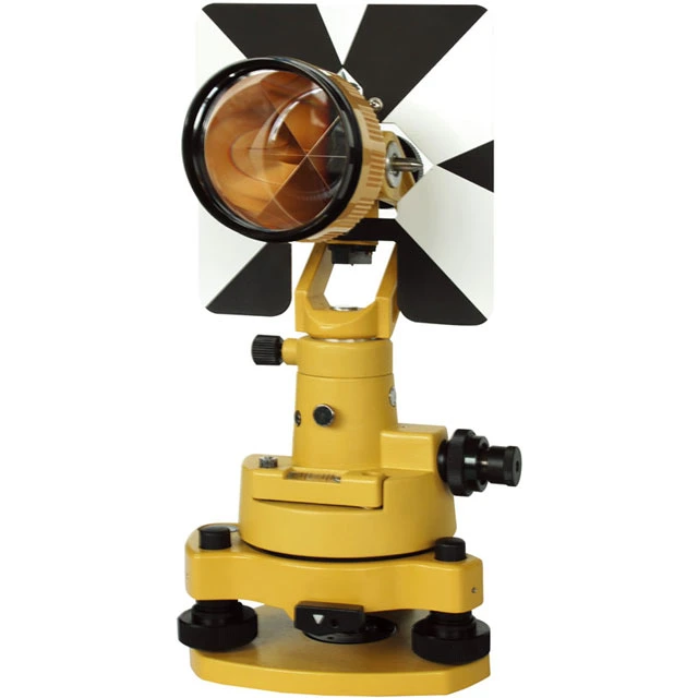
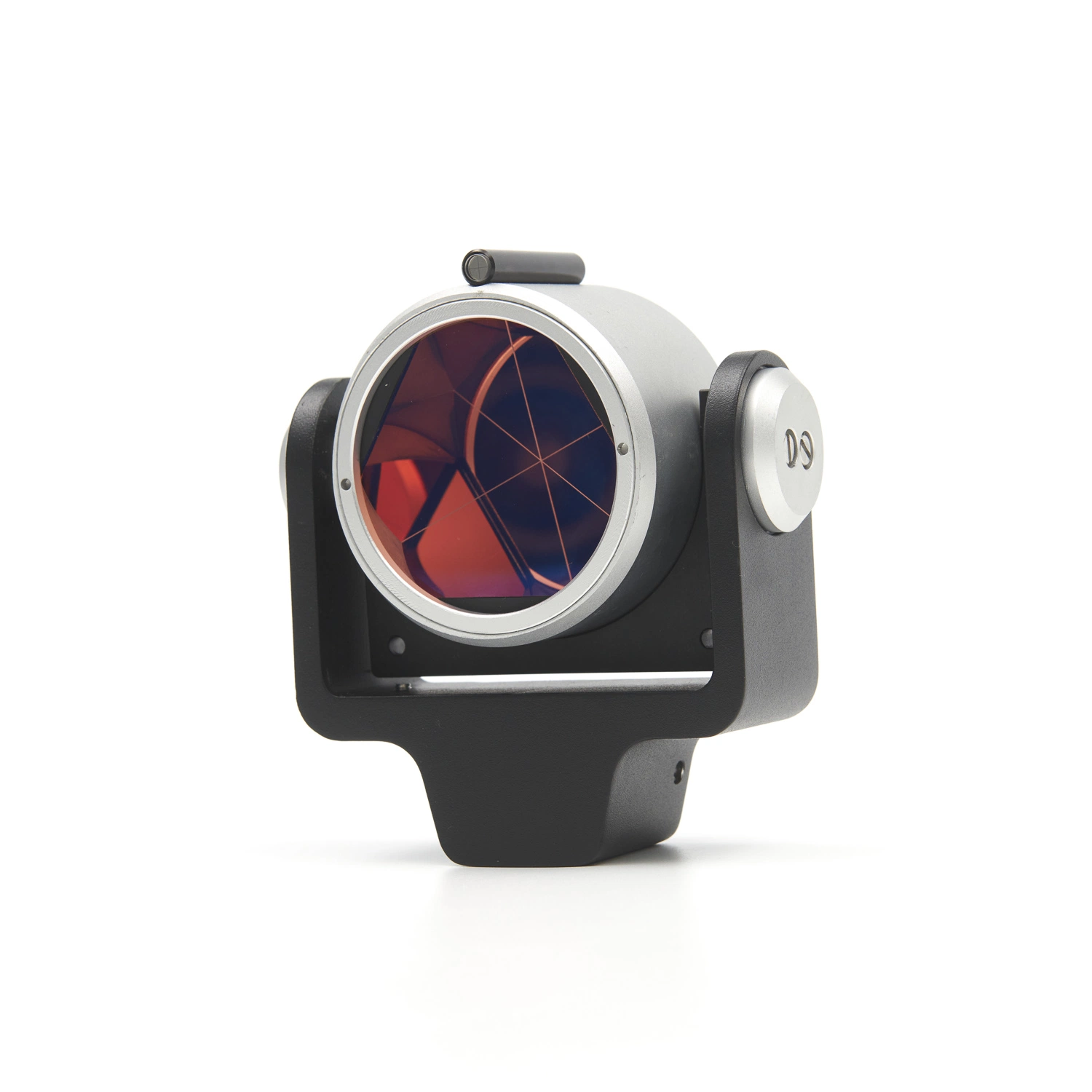
| Mini Prism | 1.3 to 500m (4.3 to 1640ft) | |||
| One Prism | 1.3 to 5000m (4.3 to 16400ft)/ under good conditions: 6000m (19680ft) | |||
| Minimum Display | Fine/Rapid: 0.0001m/0.001ft/1/16in, 0.001m(0.005ft/1/8in) (selectable) Tracking/Road: 0.001m/0.005ft/1/8in. 0.01m/0.2ft/1/2in. (selectable) | |||
| Accuracy (ISO 17123-4:2001) | ||||
| Reflectorless | (2+2ppm ×D) mm | |||
| Reflective sheet | (2+2ppm ×D) mm | |||
| AP/CP Prism | (1.5+2ppm ×D) 1.5mm | |||
| Measuring Time | Fine: 0.9s(initial 1.5s), Rapid: 0.6s, Tracking: 0.4s (initial 1.3s) | |||
| ANGLE MEASUREMENT | ||||
| Display Resolution | 0.5"/1" | 1"/5" | ||
| Accuracy (ISO 17123-4:2001) | 1" | 2" | 3" | 5" |
| IACS | Provided | |||
| Dual-axis compensator | Dual-axis liquid tilt sensor, working range: ±6' (±111mgon) | |||
| Collimation compensation | On/off (selectable) | |||
| TELESCOPE | ||||
| Magnification/Resolving power | 30×/2.5" | |||
| Length | 171mm (6.7in) | |||
| Objective aperture | 45mm (1.8in)(48mm (1.9in) for EDM) | |||
| Image | Erect | |||
| Field of View | 1°30'(26m/1000m) | |||
| Minimum Focus | 1.3m (4.3ft) | |||
| Reticle Illumination | 5 brightness level | |||
| INTERFACE & DATA MANAGEMENT | ||||
| Operating System | LINUX | |||
| Control panel location | On both faces(Second display is optional) | |||
| Display/Keyboard | Graphic LCD, 192×80 dots, Backlight, contrast adjustment/ Alphanumeric keyboard/28 keys with backlight | |||
| Trigger key | Yes (right side) | |||
| Data storage | ||||
| Internal Memory | Approx. 50000 points | |||
| Plug-in memorey device | USB flash memory (max. 32GB) | |||
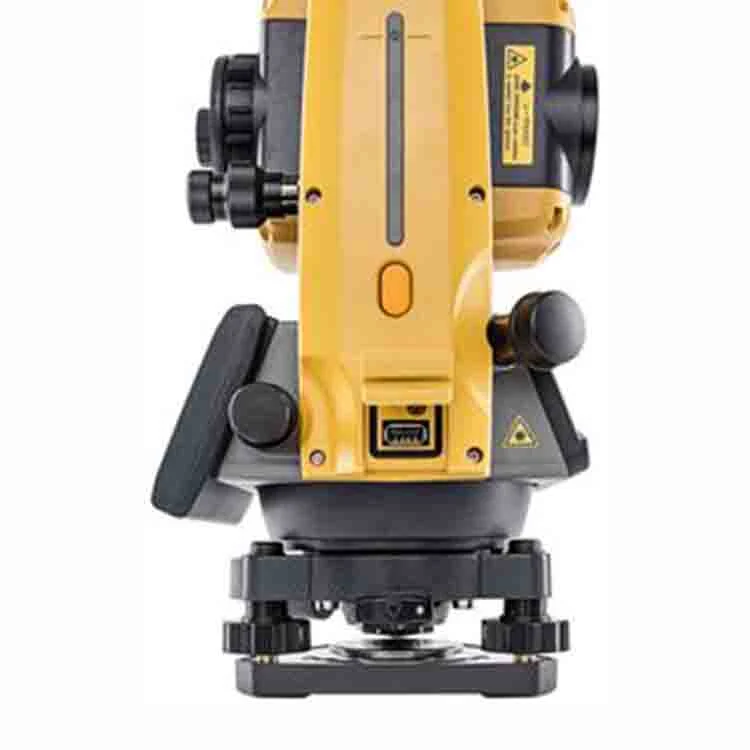
| Interface | Serial RS-232c, USB2.0 (Type A, for USB flash memory) | |||
| Bluetooth Modem (option) | Bluetooth class 1.5, operating range: up to 10m (33ft) | |||
| GENERAL | ||||
| Laser-pointer | Coaxial red laser using EDM beam | |||
| Guide Light | Green LED (524nm) and RED LED (626nm), operating range:1.3 to 150m (4.3 to 490ft) | |||
| Levels | ||||
| Graphic | 6'(inner circle) | |||
| Circular Level | 10'/2mm | |||
| Plummet | ||||
| Optical | Magnification: 3x, Minimum focus: 0.5m(19.7in) from tribrach bottom | |||
| Laser | Red laser diode (635 nm±10nm), beam accuracy: ≤1.0mm at 1.3m, class 2 laser product | |||
| Dust and waterproof protection | IP66 (IEC60529:2001) | |||
| Operating temperature | -20ºC~+60ºC (-4~+1400F) | |||
| Size with handle | 183mm*181mm*348mm | |||
| Instrument Height | 192.5mm from tribrach mounting surface | |||
| Weight with battery &Tribrach | Approx, 5.3kg | |||
| Power Supply | ||||
| Battery | Li-ion rechargeable battery BDC70 | |||
| Operating time | BDC70: Approx. 28hours | |||
| Application Program | ||||
| On board | REM Measurement, 3D coordinate measurement, Resection, Stake out, Topography observation, Offset measurement, Missing Line Measurement, Intersection, Surface Area Calculation, Route surveying, Point to line | |||