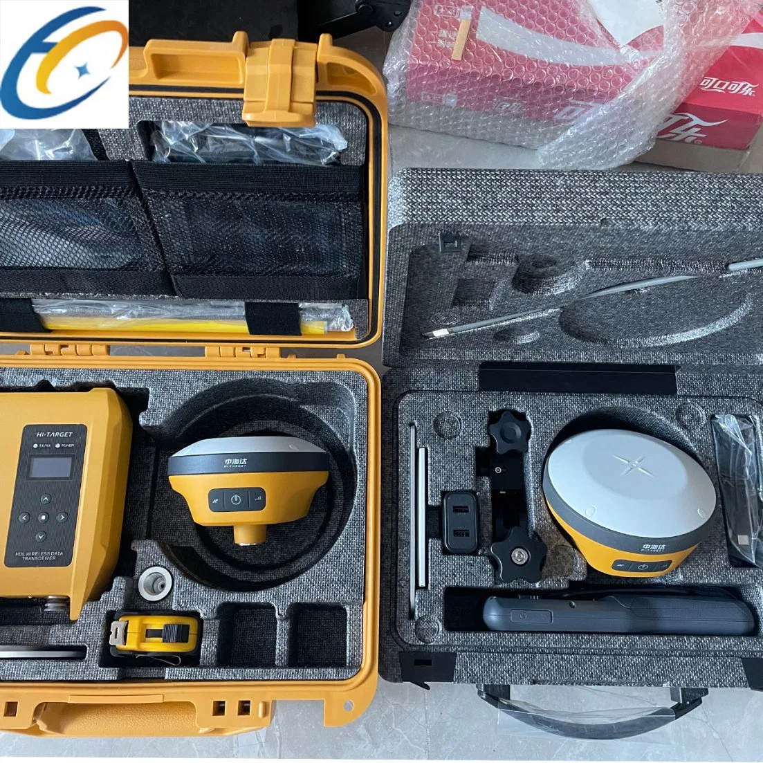
| VRTK specification | |
| Channels | 1408 | |
| Satelite Tracked | GPS:L1C/A/ L1C/ L2P/L2C/L5 | |
| BeiDou:B1l/ B2l/ B3l//B1C/B2a/B2b | |
| GLONASS: L1/L2 | |
| Galileo:E1/ E5 AltBOC/E5a/E5b/E6 | |
| QZSS:L1/L2/L5/L6 | |
| SBAS: L1/ /L2/L5 | |
| | IRNSS:L5 | |
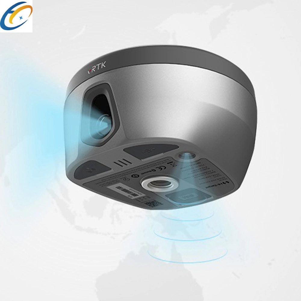
| Camera | 2MP&5MP | |
| Support real scene lofting, impact measurement, operating distance of 2-15m | |
| Image lofting accuracy | Typical accuracy: 2cm | |
| Accuracy of image measurement | 2cm-4cm | |
| Static and Fast static Gnss Surveying | |
| Horizontal | ± (2.5+0.5× 10⁻⁶d) mm (D is the distance between measured points) | |
| Vertical | ± (5+0.5× 10⁻⁶d) mm (D is the distance between measured points) | |
| Post Processing Kinematic (PPK / Stop & Go ) GNSS Surveying | |
| Horizontal | 8mm+1ppm RMS | |
| Vertical | 15mm+1ppm RMS | |
| Initialization time | Typically 10 min for base while 5 min for rover | |
| Initialization reliability | typically > 99.9% | |
| High-precision static GNSS Surveying | |
| Horizontal | ±(8+1×10¯6D)mm (D is the distance between measured points) | |
| Vertical | :±(15+1×10¯6D)mm D is the distance between the measured points | |
| Code Differential GNSS Positionnig | |
| Horizontal | ±0.25m + 1 ppm RMS | |
| Vertical | ±0.25m + 1 ppm RMS | |
| SBAS | |
| Positioning accuracy | 0.50m Horizontal, 0.85m Vertical | |
| Real Time Kinematic (RTK) | |
| Single Base | Horizonta:8mm+1ppm RMS | |
| Vertica:15mm+1ppm RMS | |
| Network RTK | Horizonta:8mm+0.5ppm RMS | |
| Vertical:15mm+0.5ppm RMS | |
| Initialization time:Typically <10s | |
| Initialization reliability:Typically > 99.9% | |
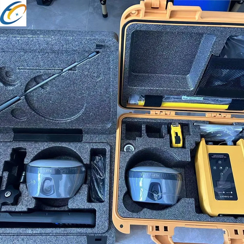
| Communication | |
| Internal UHF Radio | Frequency: 410-470MHz | |
| Channels:116 (16 adjustable) | |
| Transmitting power:0.5W,1W,2W | |
| agreement:Hi-Target, Trimtalk450S, trimmarkIII, Transeot, SATEL-3AS,South,CHC,ect | |
| Working Range:3-5km typical, 8-10km optimal | |
| HI-TARGET External UHF Radio(HDL460A) | Frequency: 403-473MHz | |
| Transmitting speed:Up to 19.2Kbps,9.6kbps adjustable | |
| Channels:116 (16 adjustable) | |
| 10W/30W adjustable | |
| Working Range:8~10km typical,15~20km optimal | |
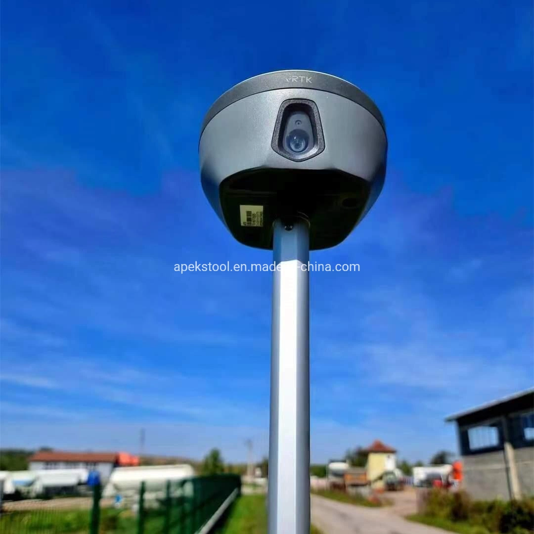
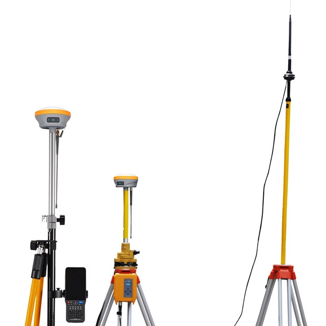
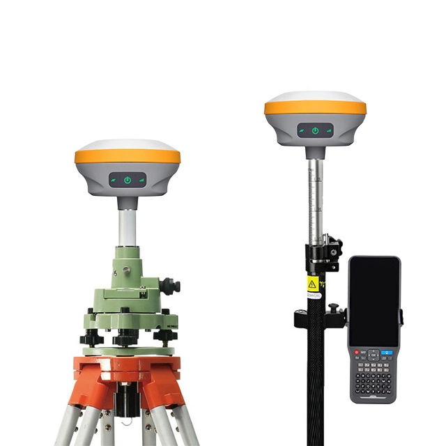
| IMU(Tilt Survey) | Built-in high-precision inertial navigation, automatic attitude compensation, no correction, anti-magnetic interference, instant measurement at the point of arrival; | |
| Network Communication | |
| Full band support for cellular mobile network(LTE, WCDMA, EDGE, GPRS, GSM) 2.4GHz WIFI, supports 802.11b/g/n. Network RTK (in CORS) range is 20-50km | |
| Physical | |
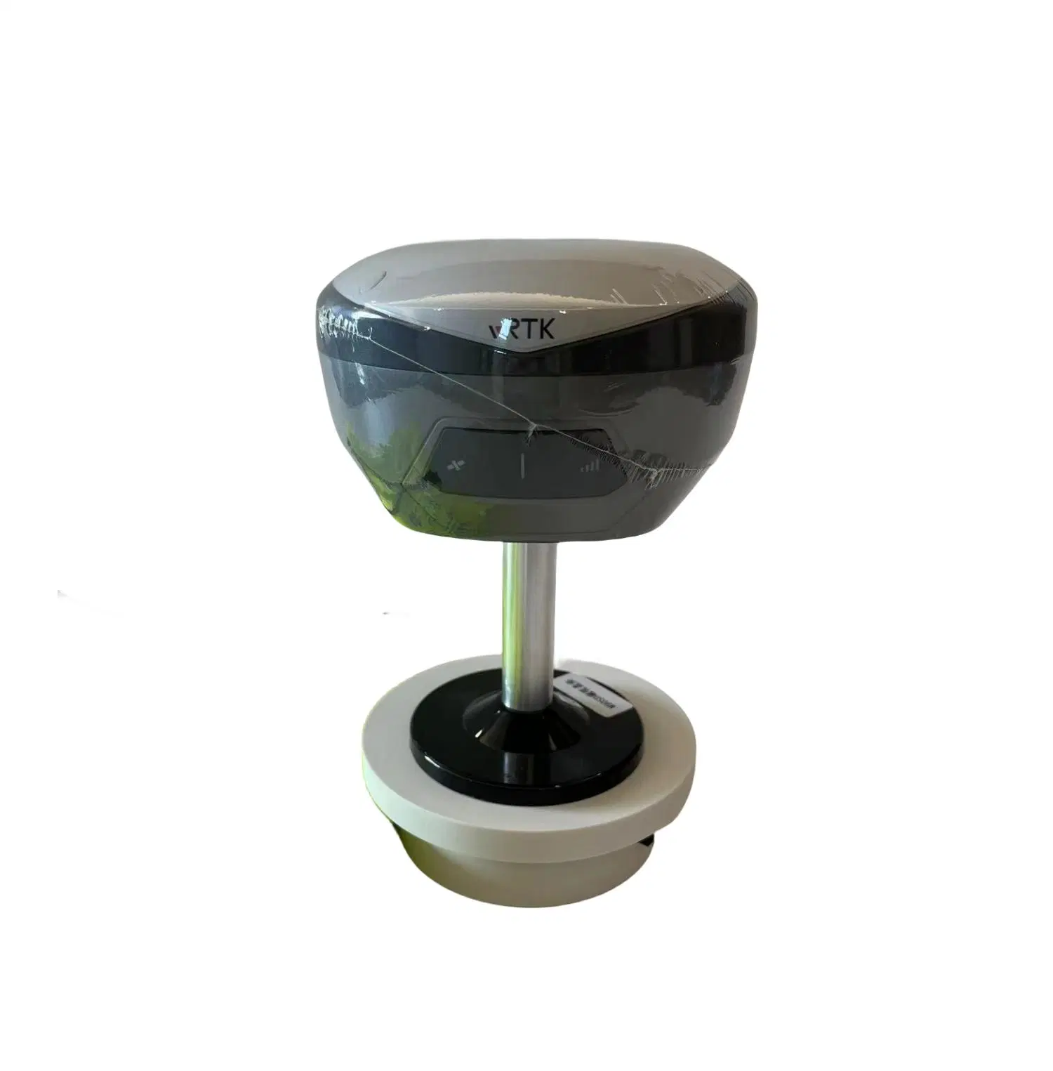
| Dimensions(W×H) | 130mm*80mm | |
| Weight | ≤0.97kg (includes battery) | |
| Shock and vibration | Designed to survive a 2m(9.84ft) natural fall onto concrete | |
| Water/Dustproof | IP68 | |
| Humidity | 100% condensing | |
| Operation temperature | -45ºC~+75ºC | |
| Storage temperature | -55ºC~+85ºC | |
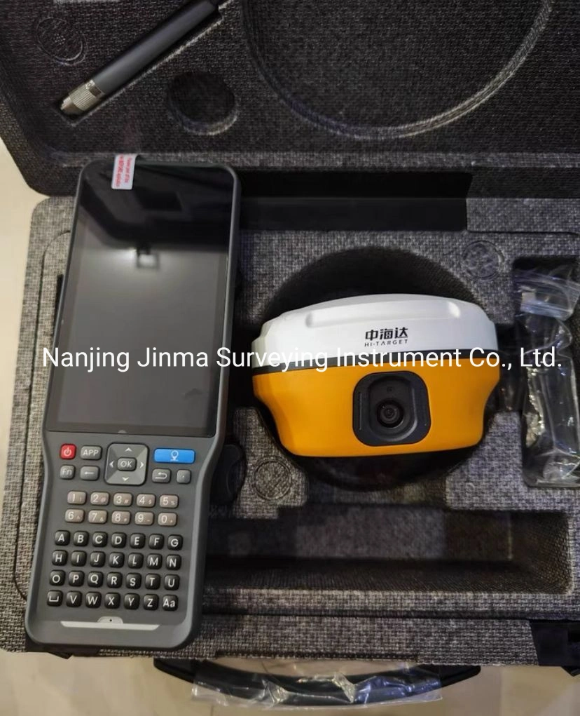
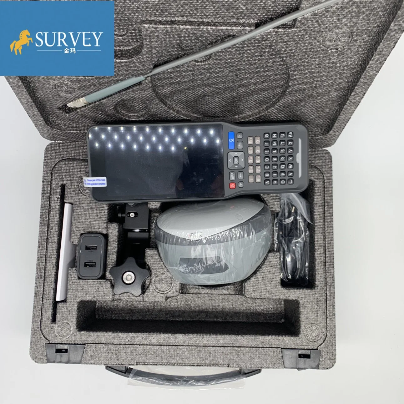
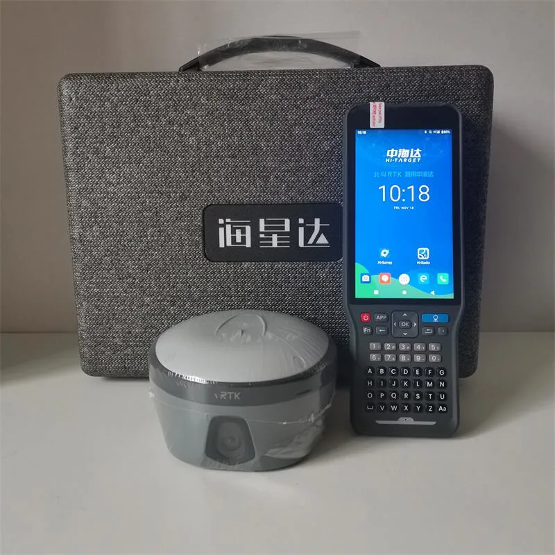
| Bluetooth | 2.1+4.0 | |
| NFC | NFC flash even | |
| A serial port | RS232 serial port | |
| Control Panel | Physical button | |
| Energy consumption and working hours | |
| Electrical | Power 6V to 28V DC external power input | |
| Power consumption≤4.2W | |
| Built-in high-capacity lithium battery 7000mAh/7.4V, support USB PD3.0 super fast charging, charging time <3.5h | |
| |
| Internal Battery Life | Static more than 10 hours | |
| RTK rover (UHF/GPRS/3G)6-10 hours | |
| RTK base more than 10 hours | |
| Data Formats | |
| 1Hz positioninng Output, up to 50Hz. CMR, RTCM2.X, RTCM3.0, RTCM3.1, RTCM3.2. Navigation outputs ASCII NMEA-0183, GSV, AVR, RMC, HDT, VGK, VHD, ROT, GGK, GGA, GSA,ZDA, VTG, GST, PJT, PJK, BPQ, GLL, GRS, GBS, Binary: Trimble GSOF, NMEA2000 |


 Complaint