 Complaint

| TECHNICAL SPECIFICATIONS | ||
| GNSS Feature | Specification | |
| GNSS Signal | Channels | 800+ |
| GPS | L1/L2/L5/ L2C | |
| BDS | B1/ B2/ B3/ B1C / B2a | |
| GLONASS | L1/ L2/ L3 | |
| Galileo | E1/E5 AltBOC / E5a / E5b / E6 | |
| SBAS | L1/L5 | |
| QZSS | L1/L2/ L5/ L6 | |
| IRNSS | L5 | |
| Positioning Performance | High-precision static GNSS Surveying | Horizontal:2.5mm + 0.1ppm RMS Vertical:3.5mm + 0.4ppm RMS |
| Static and Fast Static | Horizontal:2.5mm + 0.5ppm RMS Vertical:5mm + 0.5ppm RMS | |
| Post Processing Kinematic | Horizontal:8mm + 1ppm RMS Vertical: 15mm + 1ppm RMS | |
| Initialization time: Typically 10 min for base and 5 min for rover | ||
| Initialization reliability: Typically>99.9% | ||
| (PPK / Stop & Go) | Horizontal:+0.25m+1ppm RMS | |
| Code Differential GNSS Positioning | Vertical:+0.5m+1ppm RMS | SBAS:0.5m (H), 0.85m (V) | |
| Real Time Kinematic (RTK) | Horizontal:8mm+1ppm RMS Vertical: 15mm+1ppm RMS | |
| Initialization time: Typically <10s Initialization reliability: Typically > 99.9% | ||
| Time to first Fix | Cold start:< 45 s| Hot start:< 30 s| Signal re-acquisition:< 2 s | |
| Hi-Fix | Horizontal: RTK+10mm /minute RMS Vertical: RTK+20mm /minute RMS | |
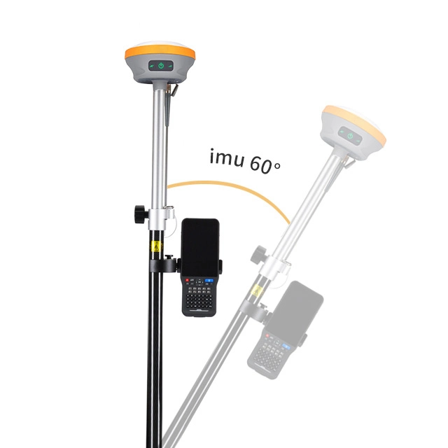
| Tilt Survey Performance | Additional horizontal pole-tilt uncertainty typically less than | |
| 8 mm +0.7 mm /"tilt (2.5cm accuracy in the inclination of 60°) | ||
| Communication | Communication | Bluetooth:4.2/2.1+EDR, 2.4GHz |
| Wi-Fi: frequency 2.4GHz, Supports 802.11 b/g/n | ||
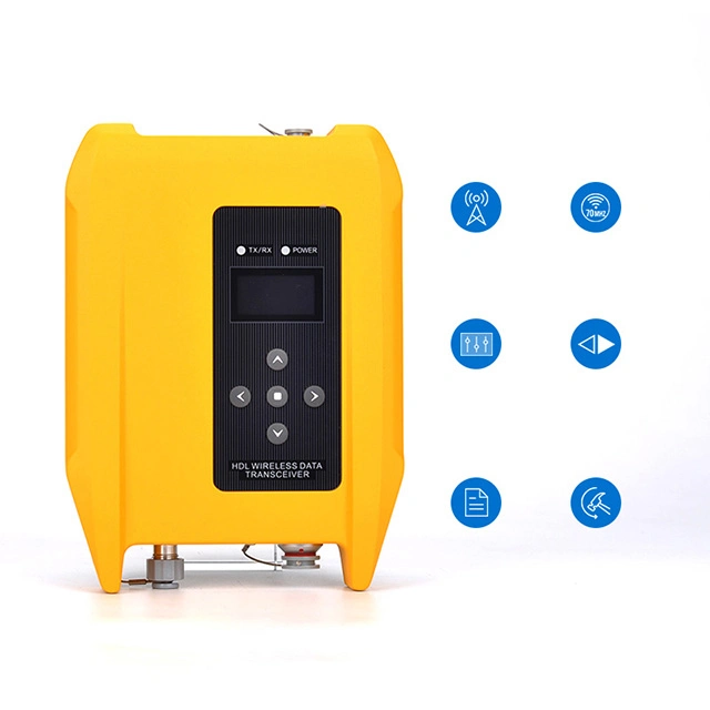
| Internal UHF Radio | Frequency:410-470MHz | Channel:116 (16 scalable) | |
| Transmitting power:0.5W /1W /2W adjustable | ||
| Supports multi-communication protocols: HI-TARGET, TRIMTALK450S, | ||
| TRIMMARK III, TRANSEOT, SATEL-3AS, etc. | ||
| Physical | Internal battery | Internal 7.4V /6800mAh lithium-ion rechargeable battery. |
| RTK Rover (Network) for 12 hours. | Static: up to 15 hours | ||
| External power | Power consumption:4.2W | Dimensions (WxH):132mmx67mm | |
| Charging: using standard smartphone chargers or external power banks. | ||
| Weight:50.8kg (includes battery) Data storage:8GB ROM internal storage | ||
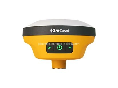
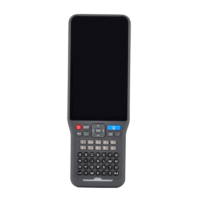
| Control Panel | LED Lamp | Satellite, Signal, Power |
| Physical button | 1 | |
| Environment | Water / Dustproof | IP67 |
| Shock and vibration | Designed to survive a 2m natural fall onto concrete | |
| Humidity | 100%, condensing | |
| Operation temperature | -30°ºC~+70° | |
| Storage temperature | -40°ºC~+80° | |
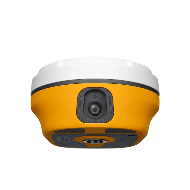
| I/O Interface | 1 x USB port, Type C | |
| 1 x SMA antenna connector | ||
| Data Formats | Output rate | 1Hz-20Hz. |
| Static data format | GNS, Rinex | |
| Network model | VRS, FKP, MAC; supports NTRIP protocol | |
| CMR& RTCM | CMR, RTCM 2.x, RTCM 3.0, RTCM 3.2 | |
| Navigation outputs ASCII | NMEA-0183 | |
-----------------------
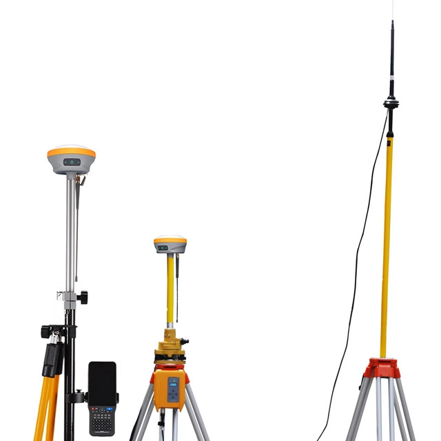
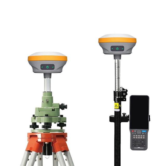
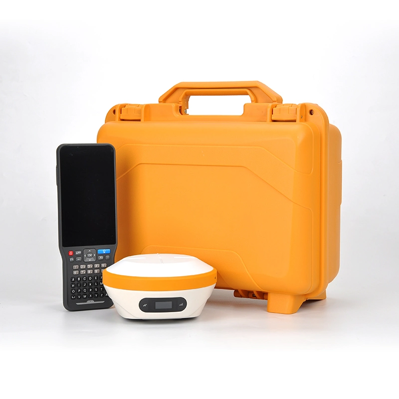
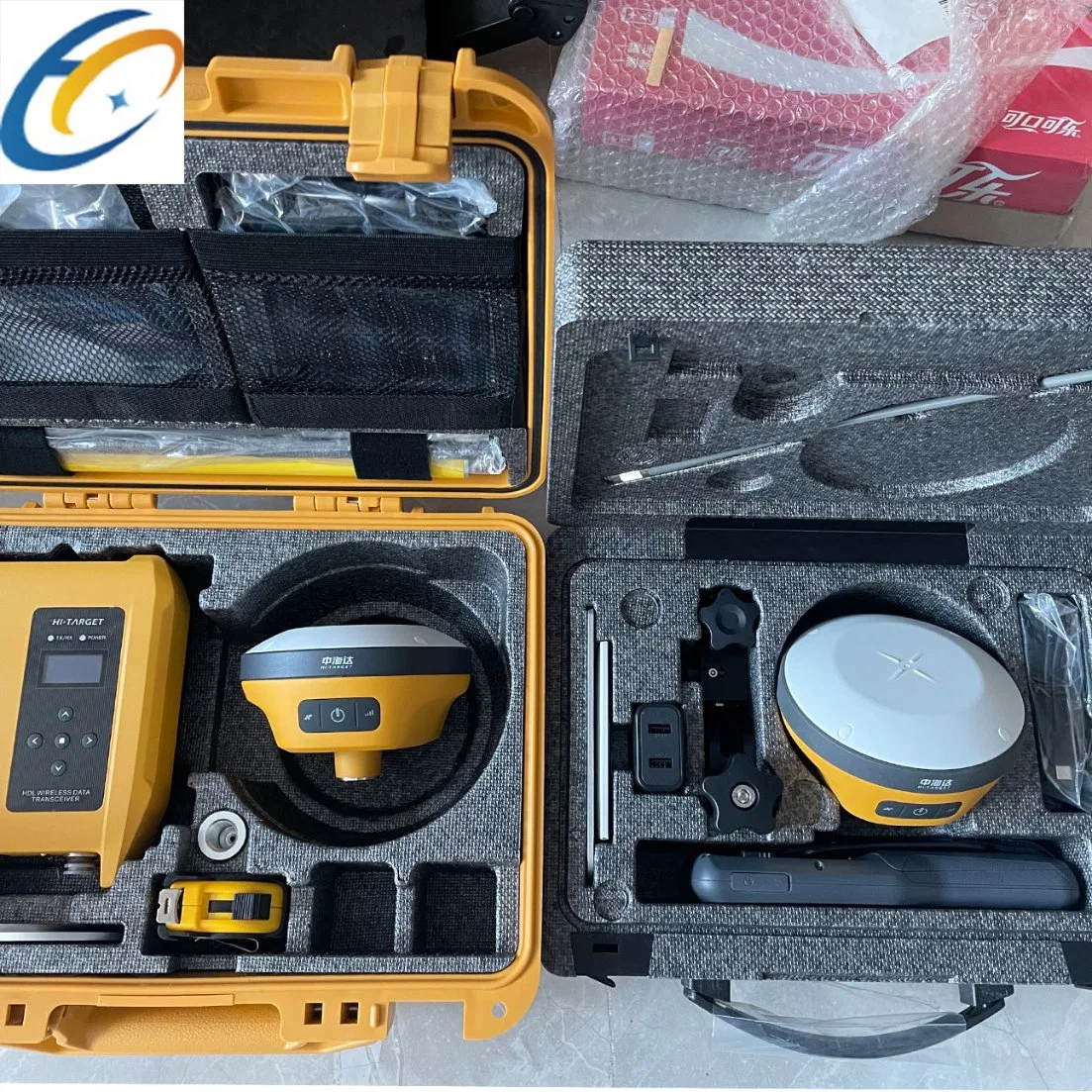
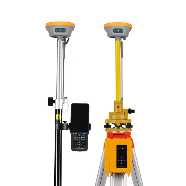
Multiple modes of transportation
-----------------------
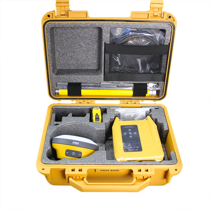
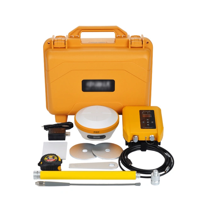
Buyer display