

 Complaint

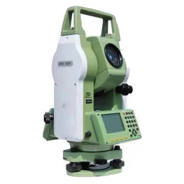
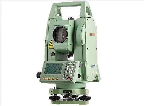
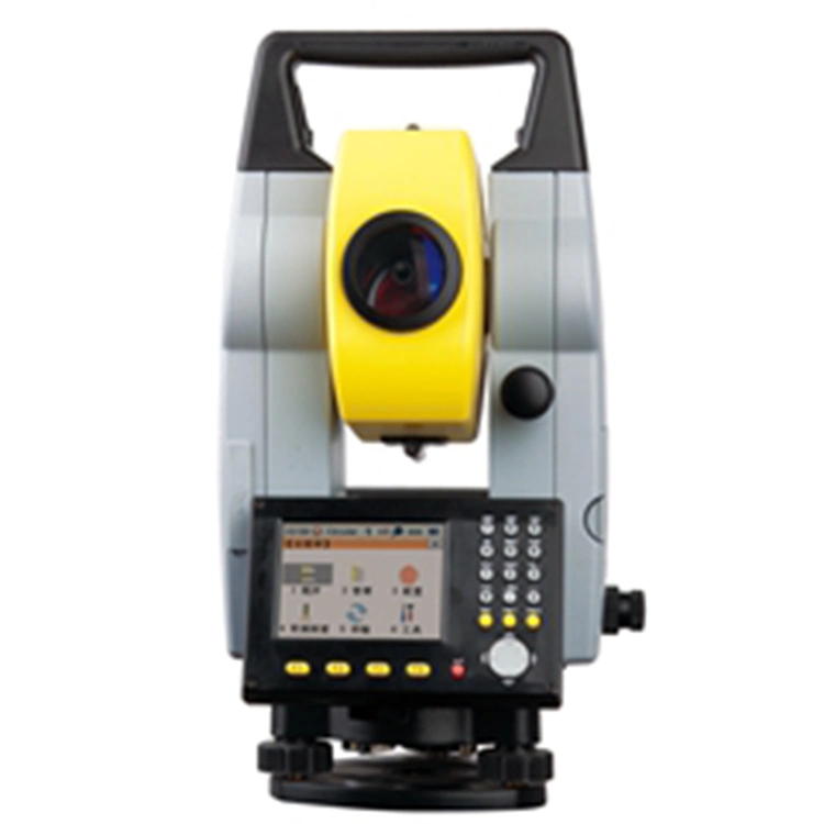
Key Features
1) Dual-aixs compensator
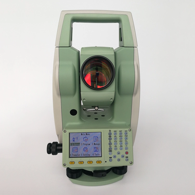
2) 600m reflectorless measuring range
3) Big data storage and bluetooth connection
Detail advantage functions
Dual-axis Compensation
The ATS-120R is configured with advanced dual-axis compensator for auto error elimination and auto accuracy compensation.
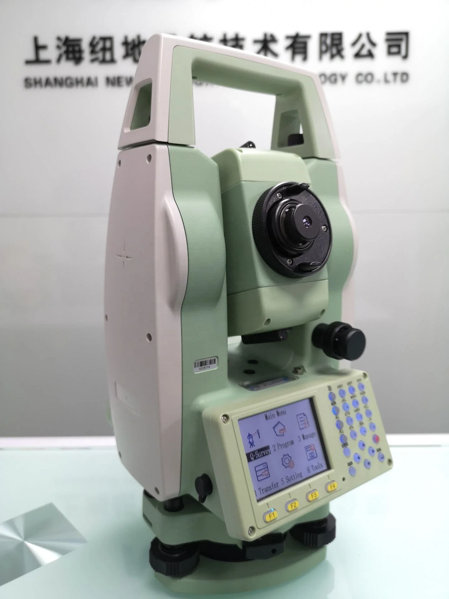
Absolute Encoding
The absolute encoding disk ensures high accuracy, efficiency and stable performance. No need to initialize but to measure the angle immediately as the ATS-120R is turned on. The previous data and setting are automatically saved. No data or setting is missed even though the ATS-120R is power-off unexpectedly.
High-performance MCU
Based on ARM Cortex™-M processor, the SMT32 MCU enabling the ATS-120R extra high processing speed and low-power consumption.
Bluetooth
The Bluetooth wireless technology makes ATS-120R accessible to any data collector for real-time communication. The third party field software such as Carlson SurvCE is fully compatible with the ATS-120R.
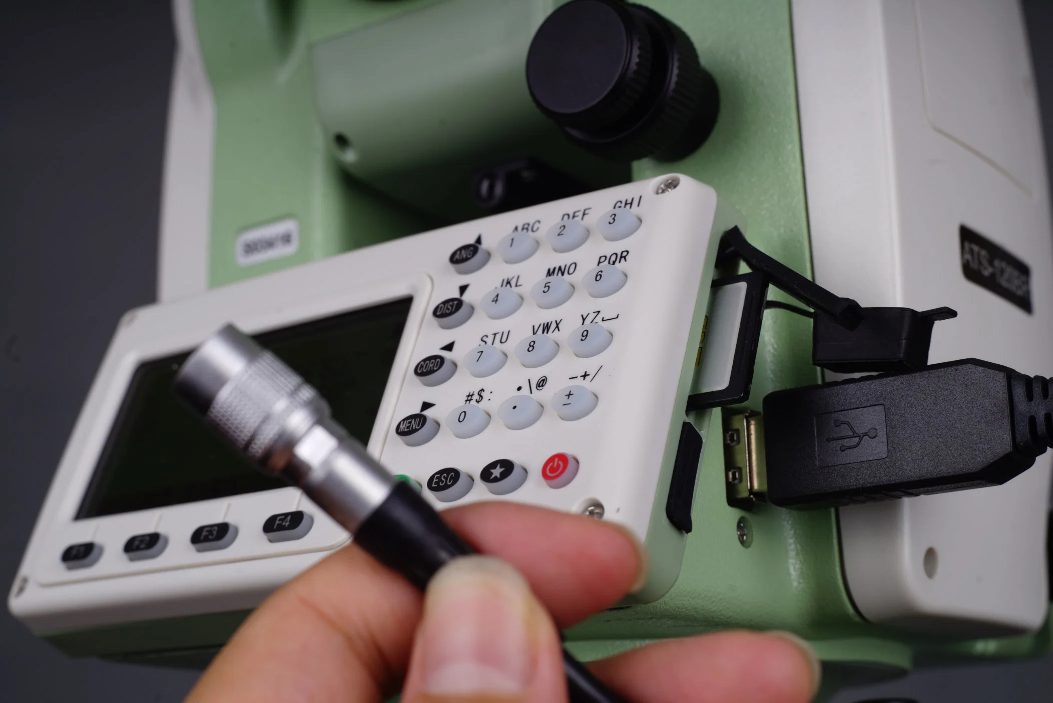
Data Storage
Diversified data transfer options such as SD card and Micro-USB port, which can work perfectly with our complimentary dual port USB disk.
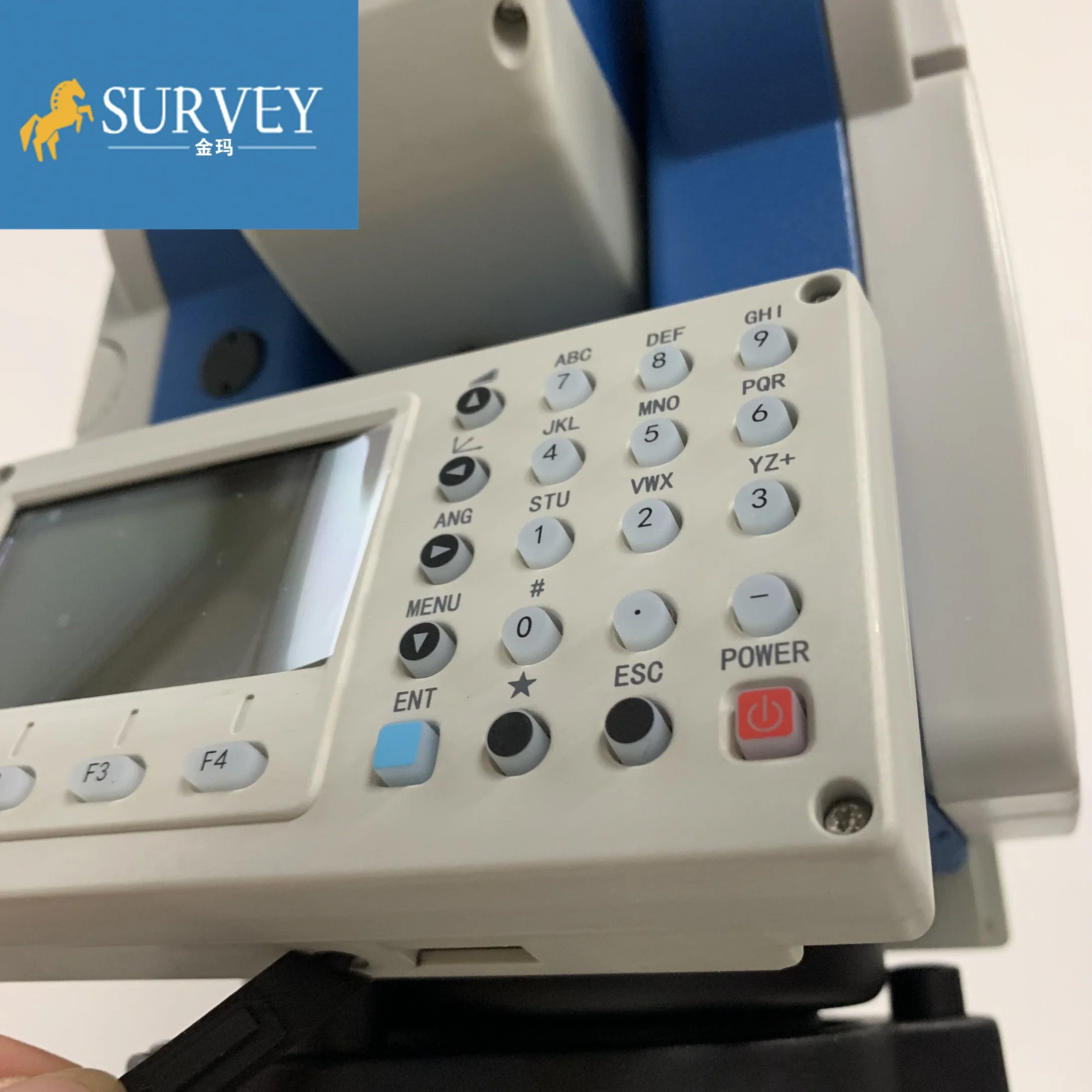
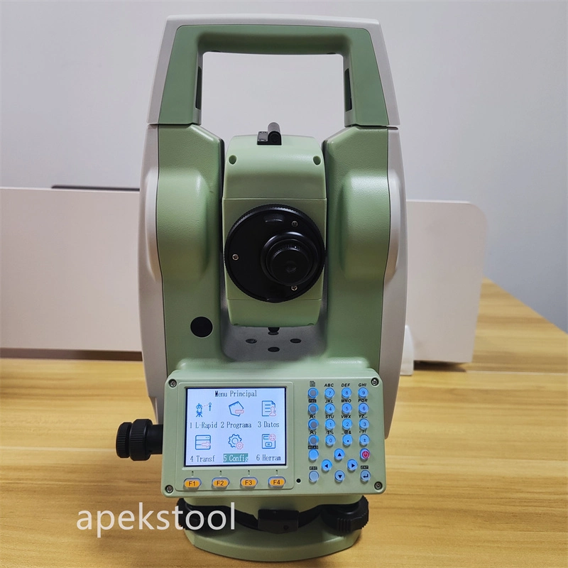
Backlight
Adjustable backlight of the screen and the keyboard offer you a visible condition to work in the dark.
Diagonal Eyepiece
Support diagonal eyepiece for observations at steep line of sight.
Calibration Software
Real-time diagnosis can be run with SUNWAY Calibration software, to find out the problem quickly to ensure trouble-free operation.
New Data Transfer Software
The newly easy-to-use data transfer software supports different type of output data format, which can be used in AutoCAD or other brands'post processing software.
Reticle: Illuminated
Technical Parameters
| Angle Measurement | |
| Measurement Method | Absolute Encoding |
| Minimum Readout | 1″/5″/10″(0.3mgon/1.5mgon/3mgon)optional |
| Accuracy | 2" |
| Distance Measurement (with Reflector) | |
| Single Prism | 5000m (9,842ft.) under good condition |
| Three Prisms | 6000m (19,685ft.) under good condition |
| Reflective Sheet | 800m (2,624 ft.) |
| Accuracy | 2 mm +2ppm |
| Measuring Time (Fine/Quick/Tracking) | 1.5s/1s/ 0.5s |
| Distance Measurement (Reflectorless) | |
| Reflectorless Range | 350m, 600m |
| Single Prism | 7500m (24606ft.) |
| Accuracy | 3mm+2ppm |
| Measuring Time | 1.5s |
| Telescope | |
| Magnification | 30X |
| Field of View | 1°30′ (2.7m at 100m) |
| Minimum Focusing Distance | 1.2m |
| Reticle | Illuminated |
| Compensator | |
| System | Dual-axis (optional) |
| Working Range | ±3′ |
| Setting Accuracy | 1″ |
| Bluetooth | |
| Interface | Standard RS232, SD card4, USB pen drive, mini-USB |
| Internal Data Memory | Approx. 20,000 Points |
| Data Format | ASCII |
| Operation | |
| Operation system | Real-time Operating System |
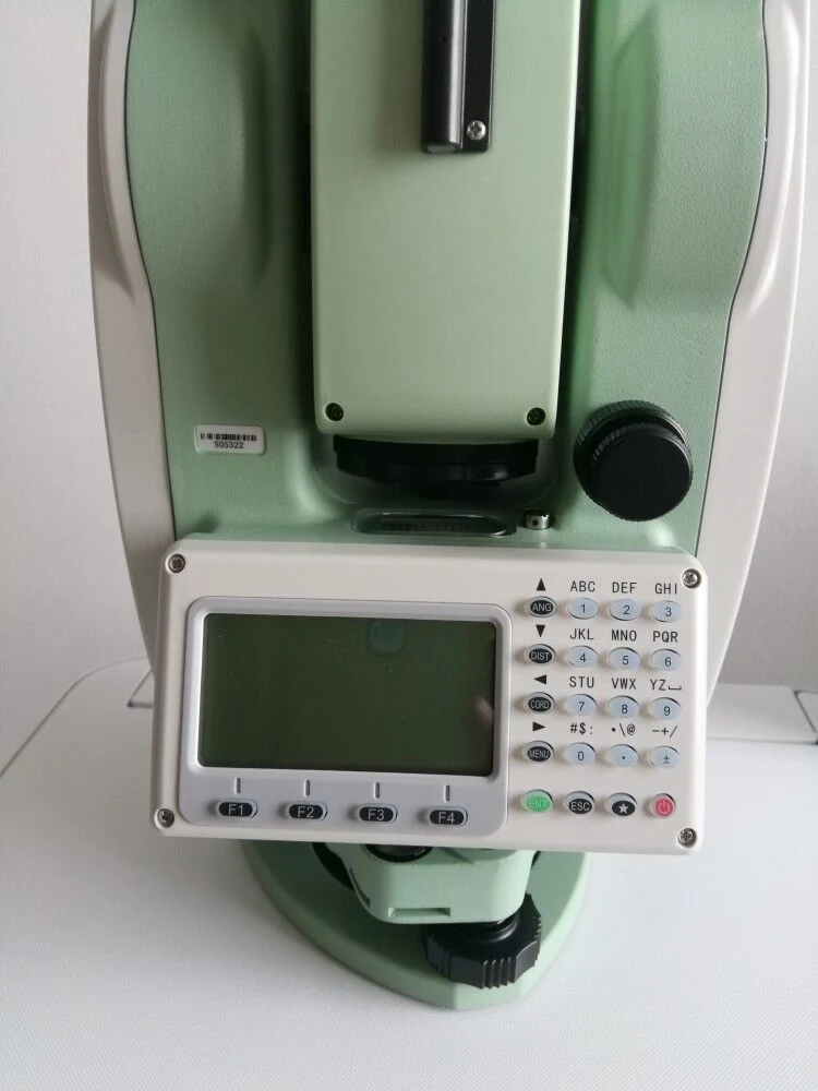
| Display | High resolution backlight black and white display with contrast adjustment/ Graphics: 280 x 160 pixels / Character: 6 lines x 25 characters |
| Keyboard | 2 sides Alphanumeric backlit crystal keyboard |
| Laser Plummet | |
| Type | Laser point, 4 brightness levels adjustment / Optical plummet (optional) |
| Centering Accuracy | 1 mm at 1.5m instrument height |
| Power Supply | |
| Battery Type | Rechargeable Li-ion battery |
| Voltage/Capacity | ZBA-400: 7.4V (DC) / 3000mAh |
| Operating Time With ZBA-400 | Optimal 16 hours5 (Continuous angle measurement every 30 seconds) / 10 hours (typical) |
| Measuring Times | Approx. 12000 times |
| Environmental | |
| Operating Temperature | -20ºC ~+50ºC( -4ºF to +122ºF) |
| Storage Temperature | -40ºC ~+70ºC(-40ºF to +158ºF) |
| Dust&Water Proof (IEC60529 Standard)/Humidity | IP54, 95%, non-condensing |
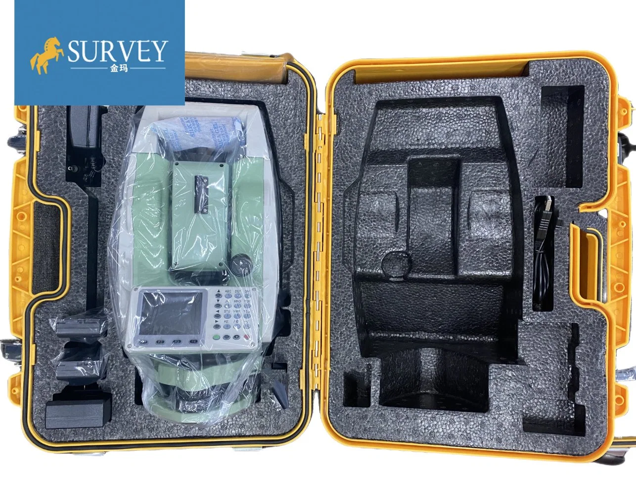
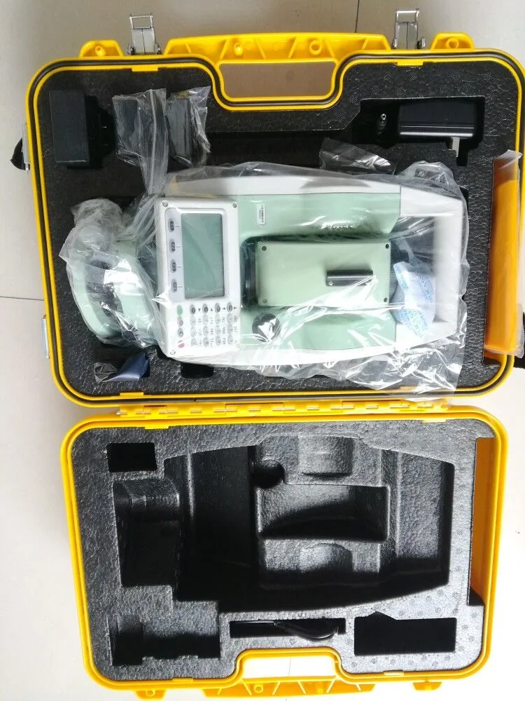
| Package | |
| Packed with Engineering case+Carton | |
| Carton size(W*L*H): | 53cm*35cm*44cm |
| Instrument weight | 5.8kg |
| G.W | 10.5kg |
| Application | |
1. Mineral survey, exploration and excavation; 2. Construction of railways, highways, Bridges; 3. Irrigation and water conservancy, urban planning and construction; 4. The battlefield preparation, harbor, fortress, airports and military engineering construction; 5. Precision positioning and installation in shipbuilding and aerospace industry ; 6. The three-dimensional coordinates, the location of measurement, pipeline orientation, cross section measurement of the stuctures; 7. The triangle control survey, topographic survey, cadastral and property measurement.
| |