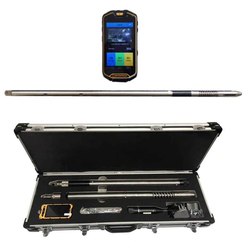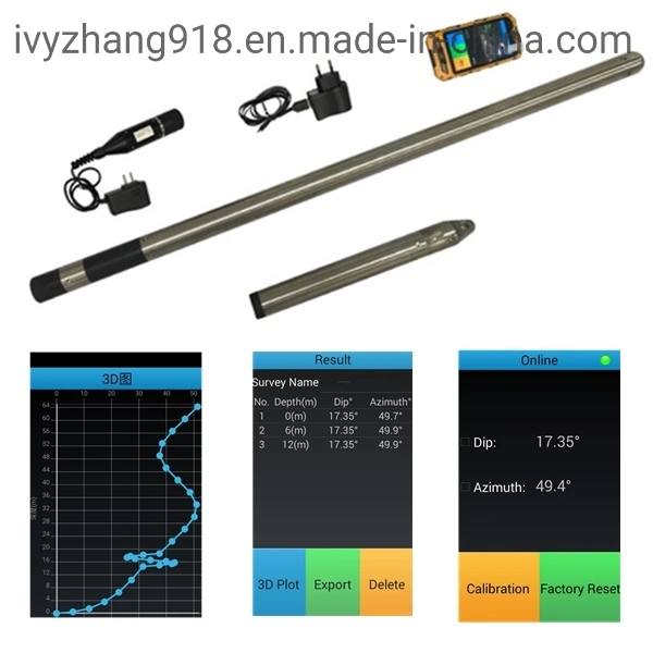
 Complaint

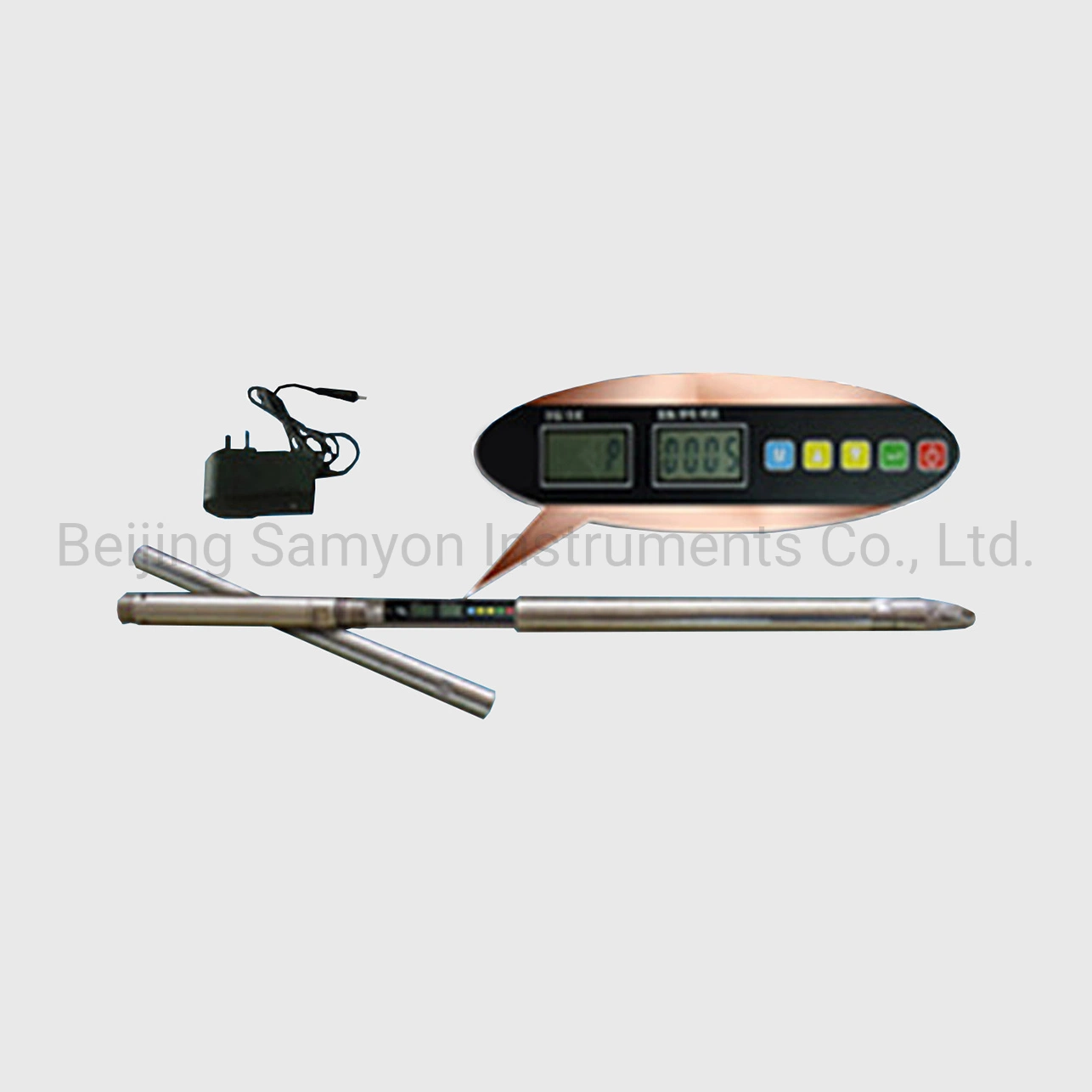
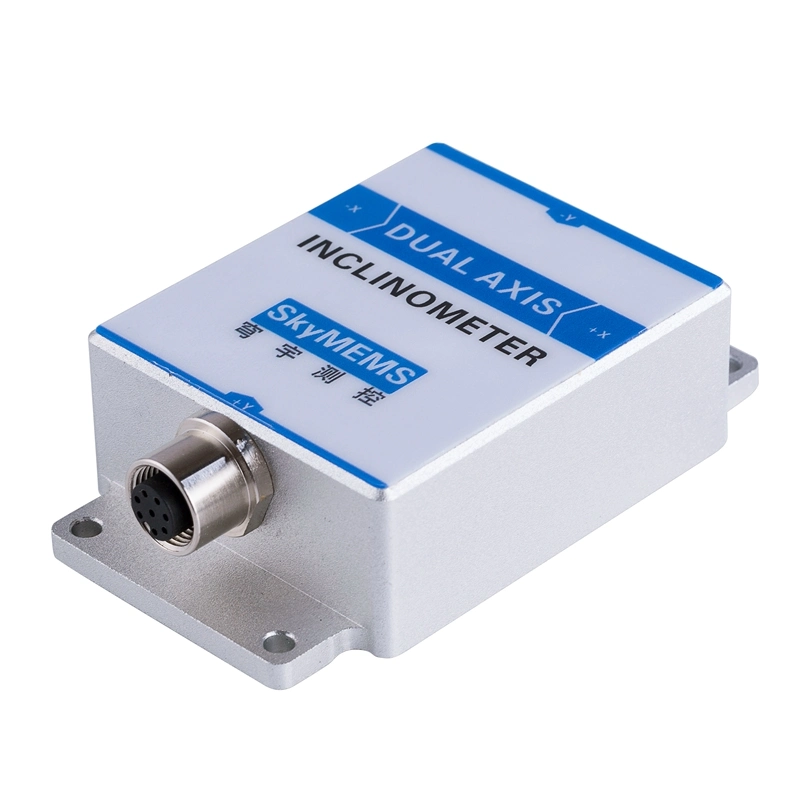
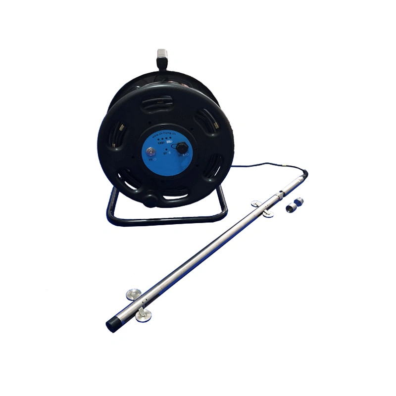
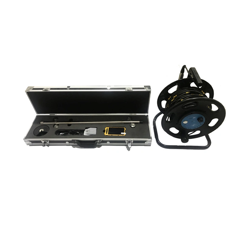
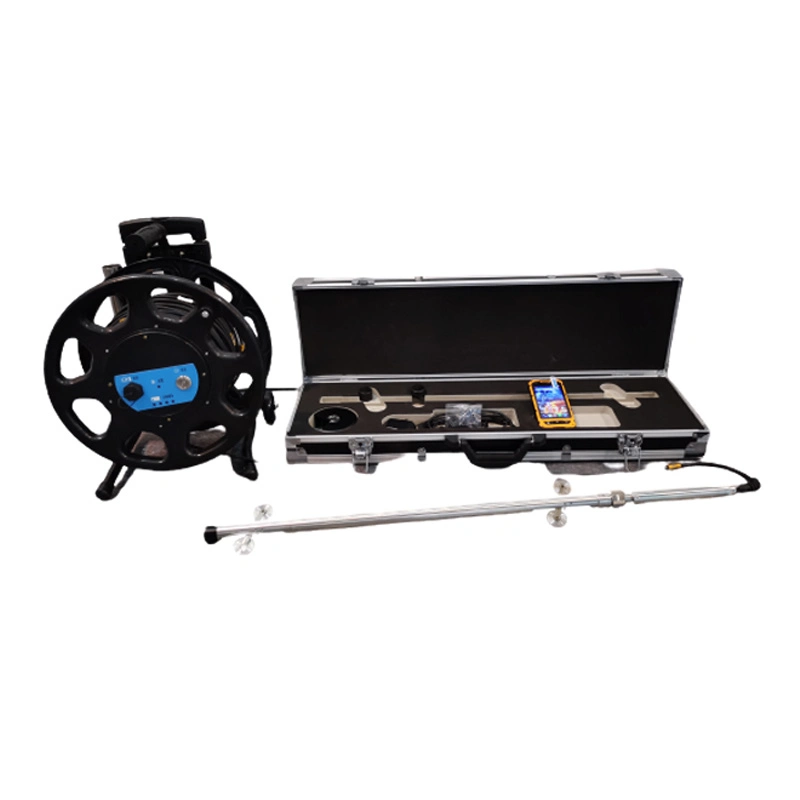
| 1.Inclination Range | -30° ~ 30° | Measuring axis | 2 | |
| 2.Inclination Resolution | ±0.025mm/500mm | Accuracy | ±0.05%(Full range) | |
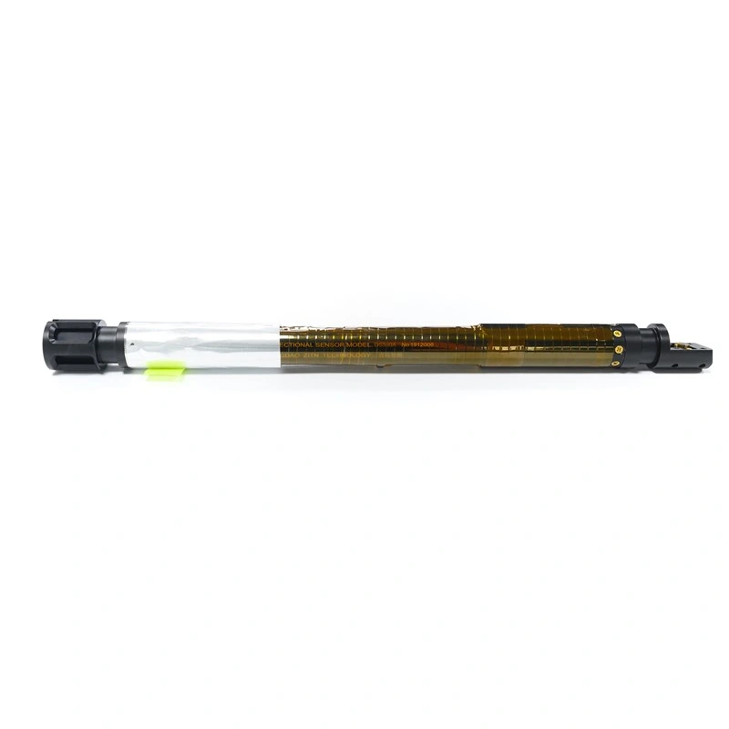
| 3. Depth | 200m | |||
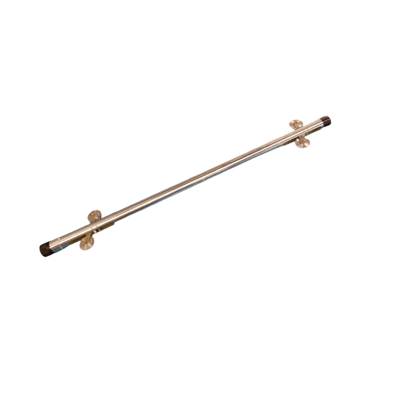
| 4.Dimensions | Ø25mm×1200mm | Weight | about 6Kg | |
| 5.Temperature | 0°C - 50°C(Probe) | -20°C-55°C(Controller) | ||
| 6.Power (Probe) | 7.4V Rechargeable Battery | Endurance | 20 hours | |
| 7.Power (Controller) | Rechargeable Battery | |||
| 8. Storage | 8GB | |||