 Complaint

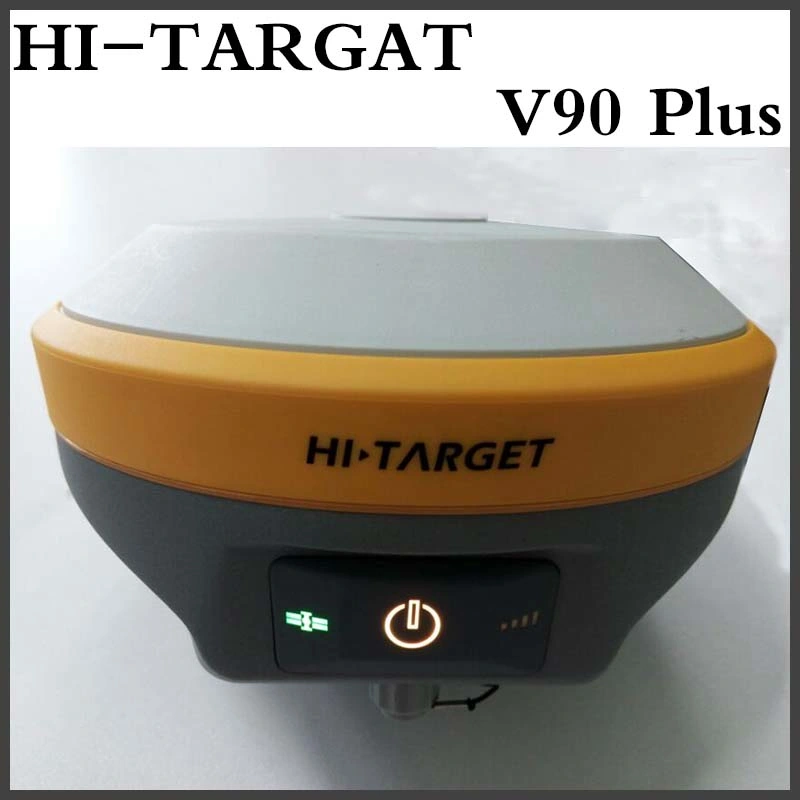
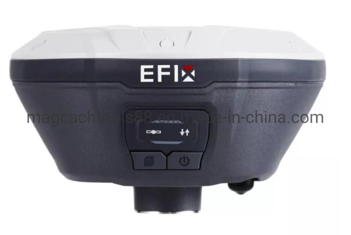
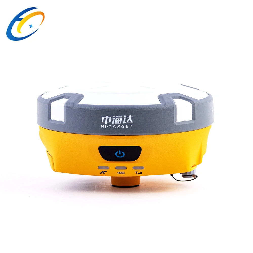
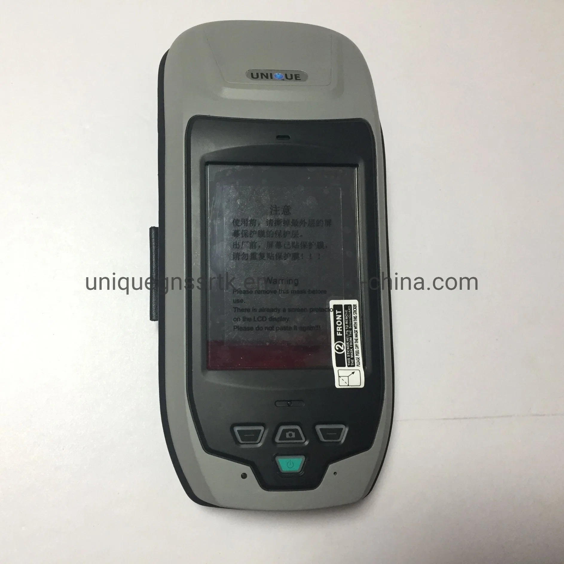
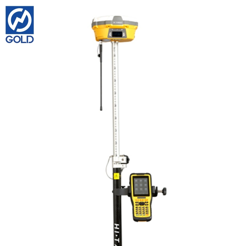
V60 GNSS RTK GPS
GPS Receiver GNSS rtk system GPS L1, L2 with Touch Screen
This kind of New Nevigation RTK GPS navigation equipment is widely used in surveying and mapping in engineering construction and geological.For it's advantages of the good qualilty,competitive price,high precision,light weight...,it's popular in the market.
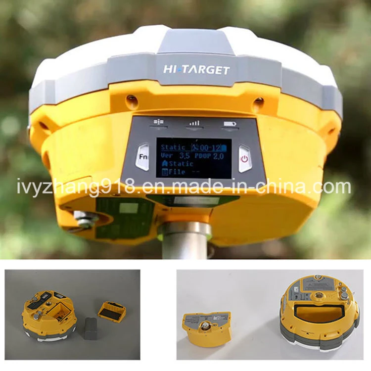
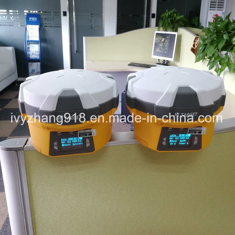
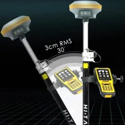
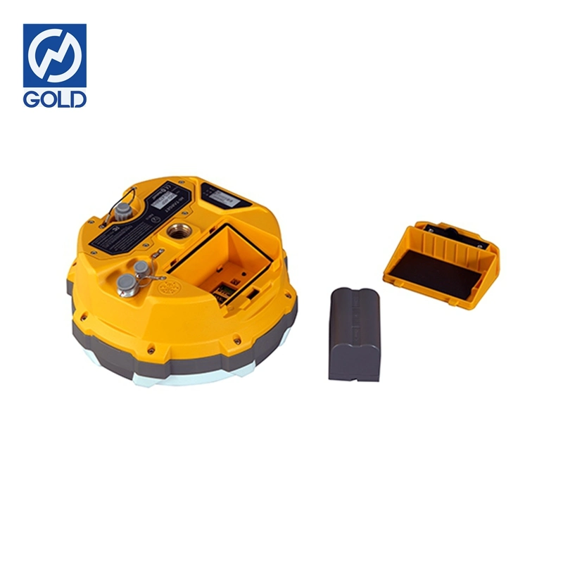
The New RTK Nevigation GPS is a more compact-design and higher-performance GNSS RTK system, besides its rugged design to resist impact and vibration. The V60 has industrial OLED display screen on its front control panel to show all information and status of the work. With the smart speaker inside the receiver, the DIY guiding voice can be customized in any language, even dialect! 1GB internal storage plus 8GB Micro SD card memory is standard, the V60 supports up to 32GB extension of memory. The V60 is fully compatible with other GNSS RTK receivers from the world market. The static data can be saved directly in RINEX format.
*Technical Specification of Our RTK GPS Base and Rover:
GPS Receiver GNSS rtk system GPS L1, L2 with Touch Screen
| Measurements | 220 channels | |
| Advanced Pacific Crest Maxwell 6 Custom Survey GNSS Technology | ||
| High precision mulciple correlator for GNSS pesudo range | ||
| Unfiltered,low noice,low multipath error,low time domine correlation | ||
| Very low noise GNSS carrier phase measurements with<1mm precision(1 Hz) | ||
| Signal-to-Noise ratio reprted in dB-Ha | ||
| Proven Pacific Crest low elevation travking technology | ||
| Satellite Singnals Tracked | GPS: L1C/A,L2C,L2E,L5 | |
| Simultaneously | GLONASS: L1C/A,L1P,L2C/A(GLONASS M only),l2p | |
| SBAS: L1 C/A,L5 | ||
| Galileo: L1 BOC,E5A,E5B,E5ALtBOC | ||
| BDS/Compass: B1,B2 | ||
| QZSS: L1 C/A, L1 SAIF,L2C,L5 | ||
| Positioning performance | Static and Fast Static | Horizonta:l2.5mm+0.5ppm RMS |
| GNSS surveying | Vertica:l5mm+0.5ppm RMS | |
| Post Processing Kinematic | Horizontal:1cm+1ppm RMS | |
| (PPK/Stop&Go) GNSS surveying | Vertical:2.5cm+1ppm RMS | |
| Initialization time:typically 10 minutes | ||
| For base while 5 minutes for rover | ||
| Initialization reliability:typically>99.9% | ||
| Realtime Kinematic(RTK) surveying | Horizontal.8mm+1ppm RMS | |
| Vertical.15mm+1ppm RMS | ||
| Initialization timetypically < 8seconds | ||
| Initialization reliability.typically > 99.9% | ||
| Code Differential GNSS postioning | Horizontal.25cm+1ppm RMS | |
| Vertical.50cm+1ppm RMS | ||
| SABS:0.50m Horizontal, 0.85m Vertical | ||
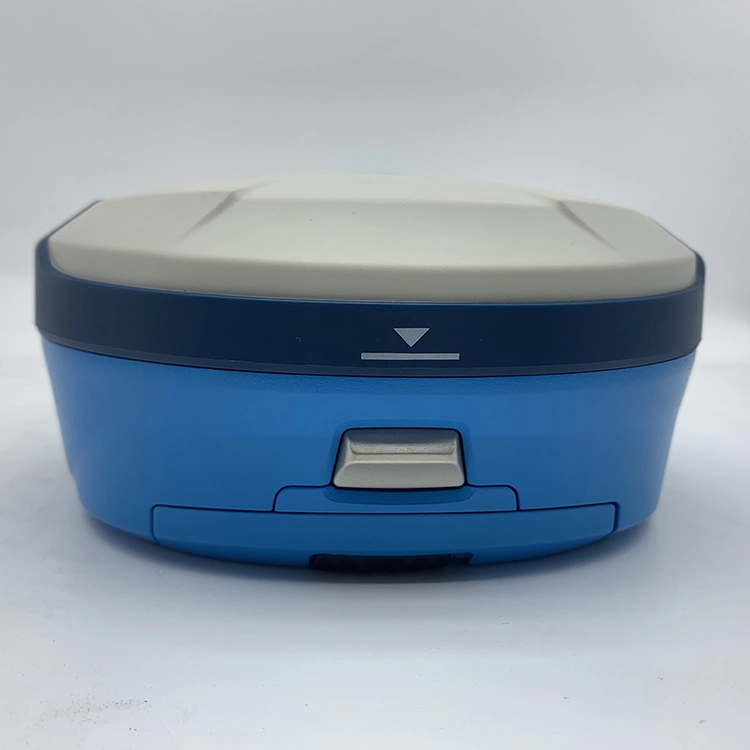
| Hardware | Physical | Dimensions(W × H):18.20cm×9.80cm(7.17 in.×3.86 in.) |
| Weight:1.25kgs(2.76lbs)without internal battery | ||
| Operating:-45°C to+65°C(-49°F to+149°F) | ||
| Storage temperature.-55°C to+85°C(-67°F to+185°F) | ||
| Humidity:100%,considering | ||
| Water/dustproof.IP67 dustproof,protected from | ||
| Temporary immersion to depth of 1 m(3.28ft) | ||
| Shock and Vibration.Designed to survive | ||
| a 3m(9.84ft) nature fall onto contrete. | ||
| Electrical | Power 6V to 28V DC external power input | |
| Power consumption ≤3.5w | ||
| Automatic Switching between internal power and external power | ||
| Rechargeable, removable 7.4V,5000mAh Lithium-Ion | ||
| Battery in internal battery compartment | ||
| Internal battery life | Static 13-15 hours | |
| RTK Rover(UHF/GPRS/3G)10-12 hours | ||
| RTK Base 8-10 hours | ||
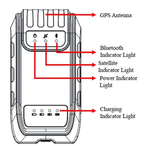
| I/O interface | 1×Bluetooth | |
| 1×standard USB2.0 port | ||
| 1×TNC UHF connector | ||
| 2×RS232 serial port | ||
| 2×DC power input(8-pin & 5-pin) | ||
| 1×Micro SD card port | ||
| Communication and data storage | 3G Communication | Fully integrated, fully sealed internal 3G, |
| compatabile with GPRS | ||
| Network RTK(via CORS) range 20-50km | ||
| HI-TRAGERT internal UHF radio(standard) | Frequency:450~470MHz with 116 channel | |
| Transmitting Power:1W,2W,5W,adjustable | ||
| Transmitting Speed:9.6Kbps,19.2Kbps | ||
| Working Range:5km typical,8-10km optimal | ||
| Pacticic Crest XDL Micro internal UHF RADIO | Frequency:403-473MHz | |
| Transmitting Power:0.5W,2W adjustable | ||
| Transmitting Speed:Up to 19.2Kbps | ||
| Working Range:3-5km typical,8-10km optimal | ||
| Hi-Target external UHF radio(standard) | Frequency:460MHz with 116 channels | |
| Transmitting Power:5W,10W,20W,30W adjustable | ||
| Transmitting Speed:Up to 19.2Kbps | ||
| Working Range:8-10km typical,15-20km optimal | ||
| Pacific Crest ADL vantage Pro External UHF radio | Frequency:390-430MHz or 430-470MHz | |
| Transmitting Power:4W to 35W adjustable | ||
| Transmitting Speed:Up to 19.2Kbps | ||
| Working Range:8-10km typical,15-20km optimal | ||
| Support other external Communication device | For example, external GSM moderm. | |
| Data formats | CMR:sCMRx,CMR, CMR+ input and output | |
| RTCM:RTCM2.1 2.2 2.3 3.0 3.1 3.2 input and output | ||
| Navigation outputs ASCII:NMEA-0183 | ||
| Navigation outputs Binary:GSOF | ||
| 1 Pules Per Second Output | ||
*Advantages of Our RTK GPS:
GPS Receiver GNSS rtk system GPS L1, L2 with Touch Screen
1.The GPS machine enjoys a high precision;
2.The GPS machine is cheap and fine;
3.12 monthes warenty;
4.Thoughtful after-sales service and powerful technical support.
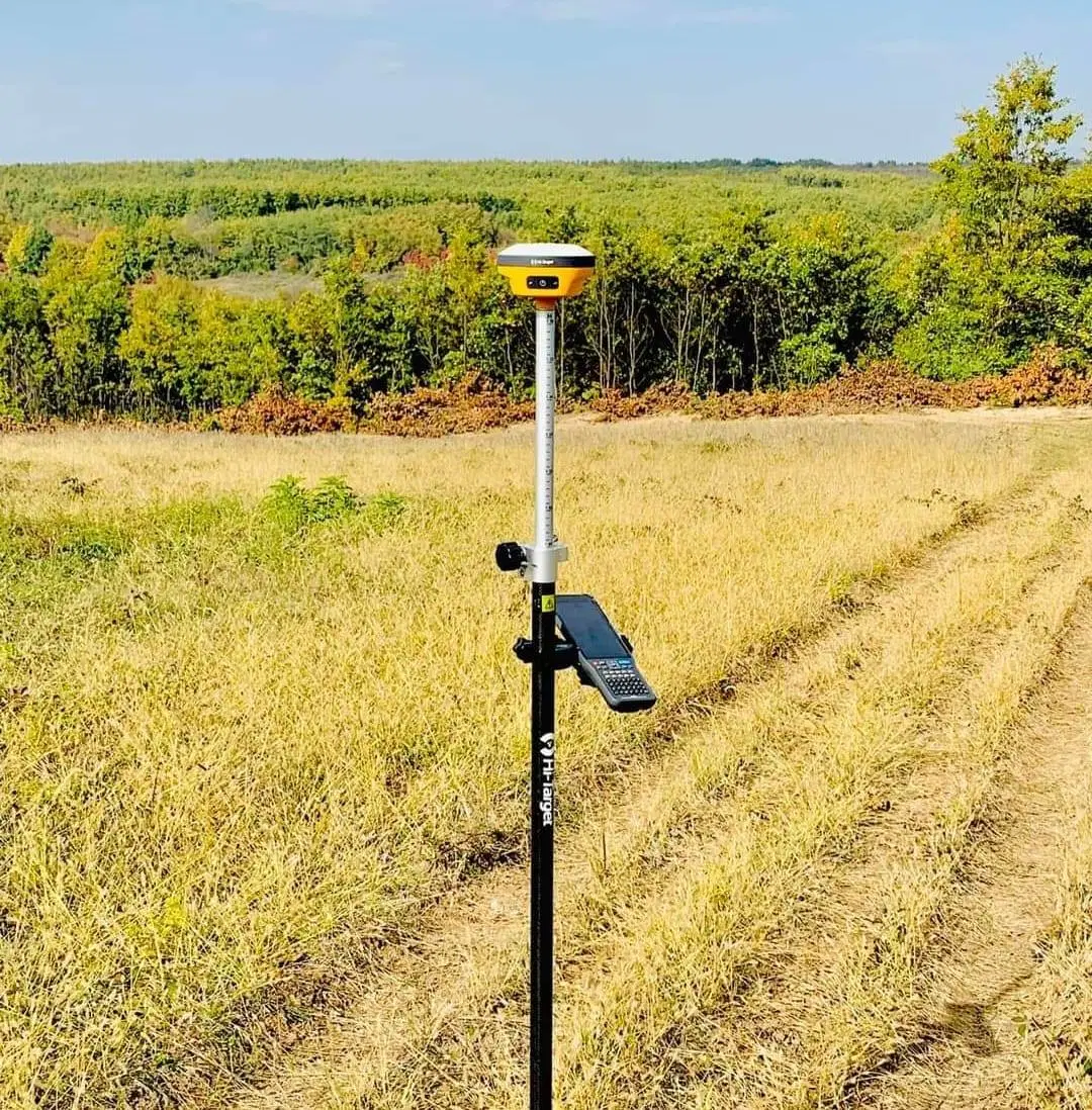
*Main Application of Our RTK GPS:
*Construction Lofting;
*Electric power transportation;
*CORS application;
*CORS site building;
*Control survey;
*Data collection;
*Measurment under water;
*Construction and position.
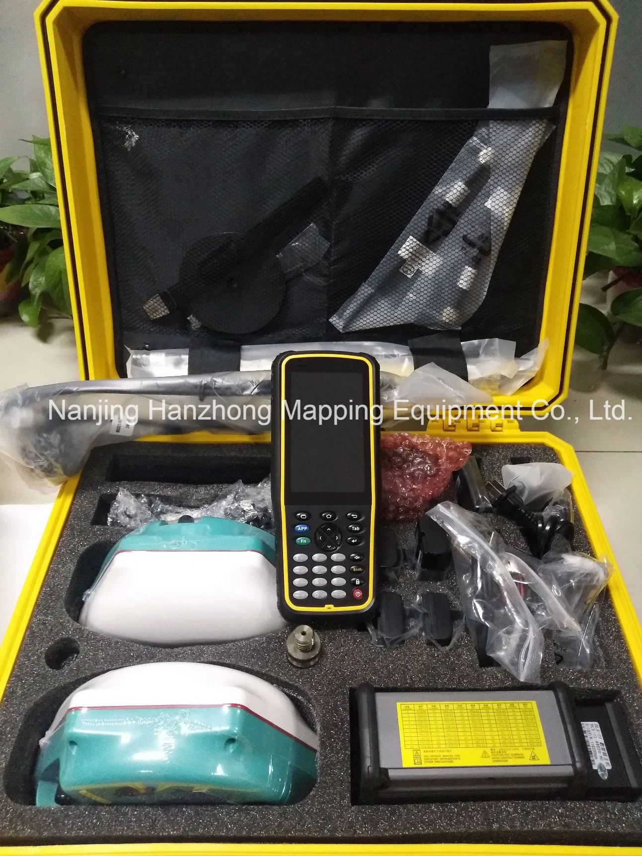
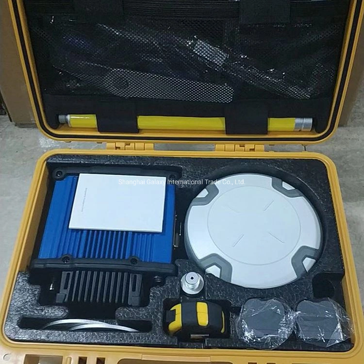
*Packaging:
The GPS are packaged with plastic box inside and carton box outside,1PC/Carton;
*Delivery:
We will arrange delivery within 15 working days.
GPS Receiver GNSS rtk system GPS L1, L2 with Touch Screen