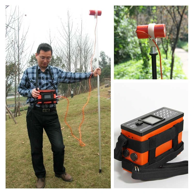
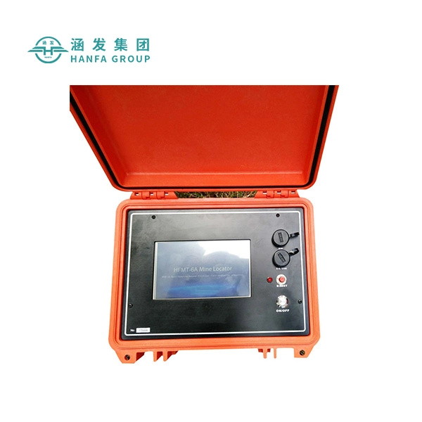
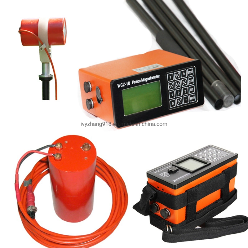
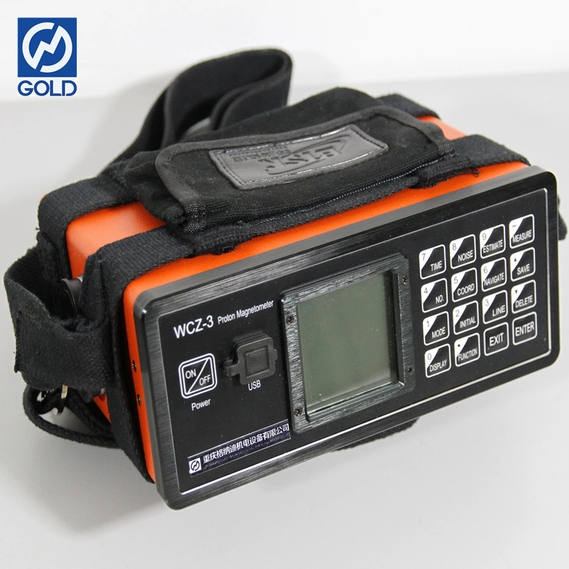
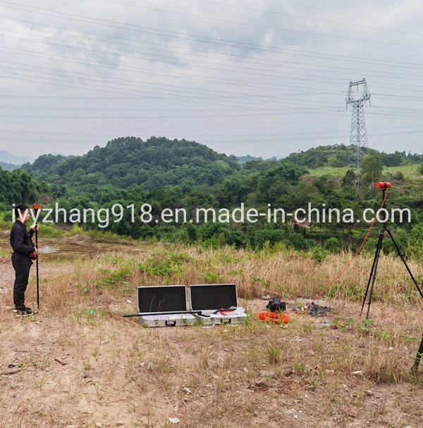
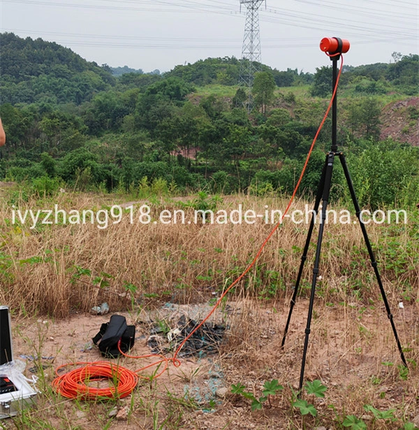
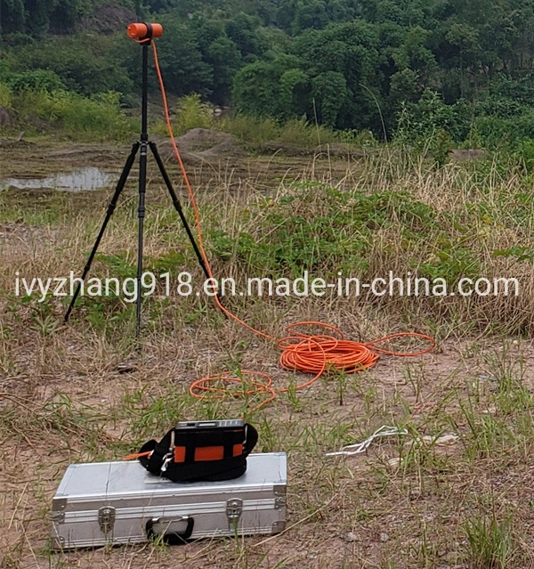
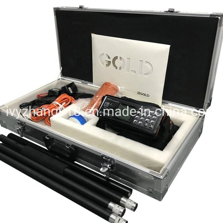
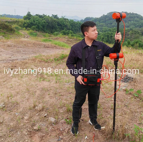
Description
Land Based Magnetic Surveys Proton Magnetometer Walking Magnetometer Base Station Magnetometer GPS Magnetometer Low Cost For Mineral Exploration
Rocks and ores in nature have different magnetic properties that can produce varying magnetic fields, which cause the earth's magnetic field to change in local areas and geomagnetic anomalies to appear. Using magnetometers to discover and study these magnetic anomalies, it is then possible to search for magnetic ore bodies and study geological formations. Magnetic exploration is one of the commonly used geophysical exploration methods, which is mainly used to find and explore relevant minerals (such as iron ore, lead-zinc ore, copper ore, etc.), and to conduct geological mapping, etc.
1) Mineral exploration, based on the useful minerals in the ore is magnetic or have magnetic minerals with the characteristics of the direct search, or based on the ore body in the genesis or spatially related to some magnetic geological body structure, indirect search for minerals. These ores include iron ore, lead-zinc ore, copper ore, etc.
2) In conjunction with mine exploration, study the depth, production and continuity of the ore body, study the shape and size of the ore body, and estimate the size of the deposit? Oil and natural gas exploration, study the geological structure and geotectonics related to oil and gas, etc.
3) Seismic precursor monitoring, volcanic observation and other environmental and disaster geological work
4) Cooperate with basic geological survey and geological mapping
5) Locating buried iron products such as iron barrels and cans
6) Detection of geological structures related to magnetism
7) Detection of ferrous arms
8) Fault location
9) Engineering survey
10) Pipeline detection
11) Environmental exploration
12) Archaeology
13) Hydrology
| 1.Measurement range: 20000nT~100000nT |
| 2.Measurement precision: 1nT |
| 3.Resolving power:0.1T |
| 4.Allowed gradient: 5000Nt /m |
| 5.Data stored: 100,000, out-power protection |
| 6.LCD screen: 240x128 |
| 7.Keyboard: 22 keys |
| 8.Interface:RS-232C standard serial port |
| 9.power: outside rechargeable batteries, 12V/2.3Ah, also power outside |
| 10.Bulk of mainframe: 230mmx155mmx65mm |
| 11.Weight of mainframe: 2.5kg(include batteries) |
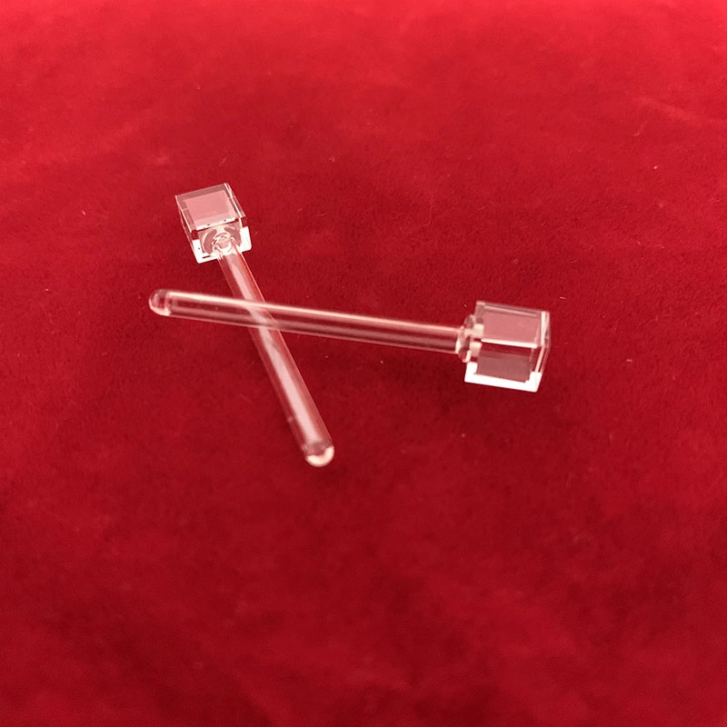
| 12.Bulk of sonde: Ψ75mmx155mm |
| 13.Weight of sonde: 0.8kg |
| 14.Working temperature: -10°C~+50°C |

 Complaint