 Complaint

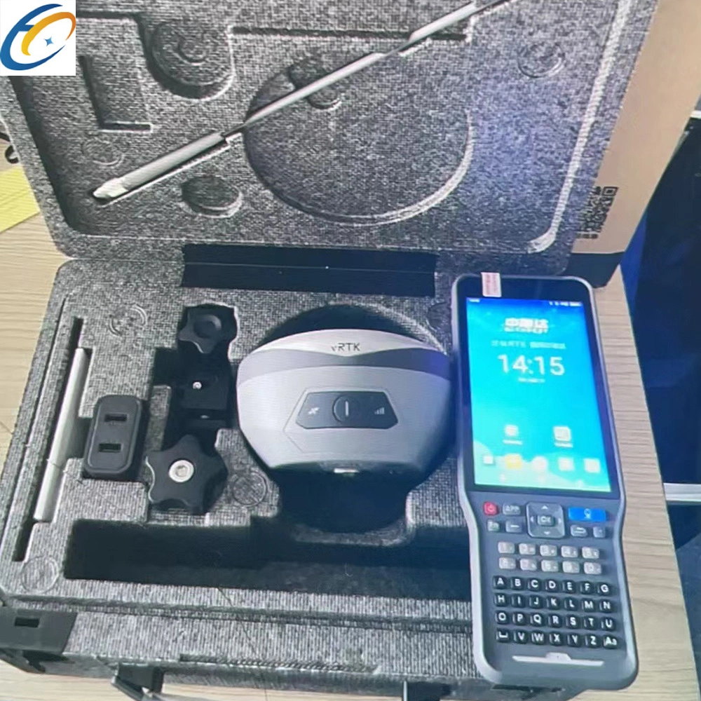
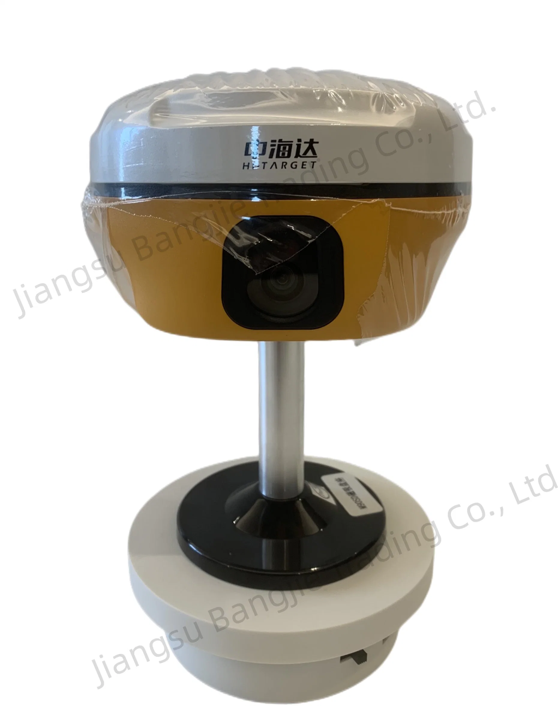
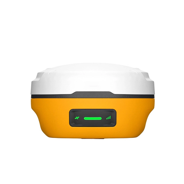
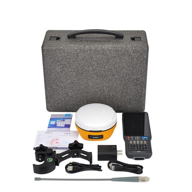
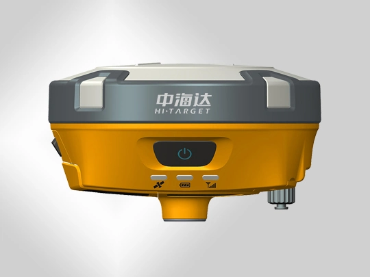
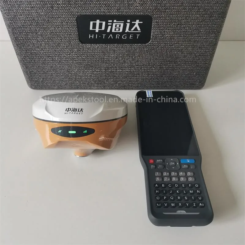
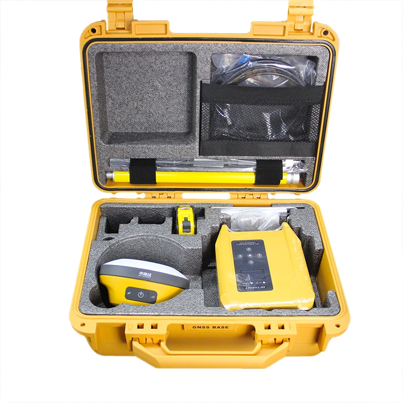
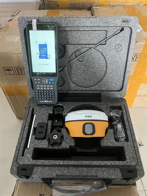
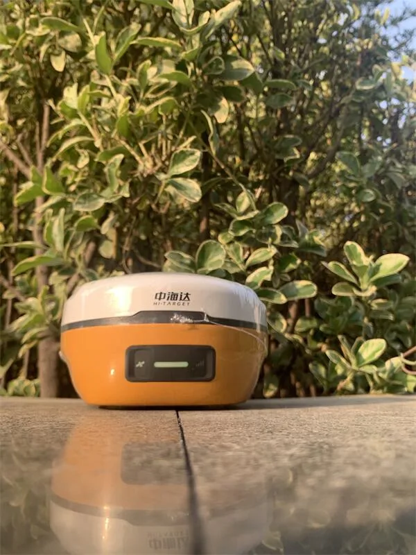
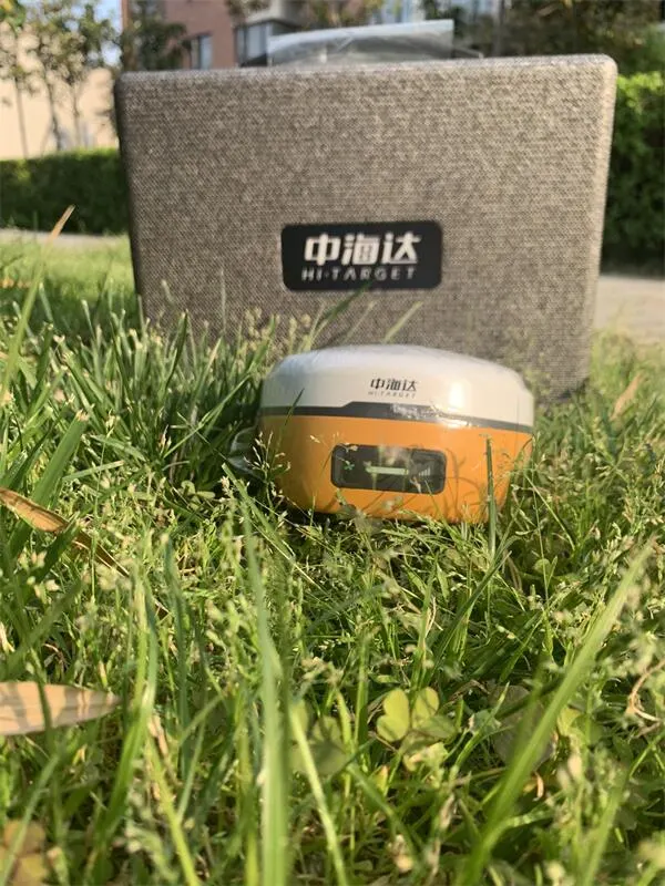
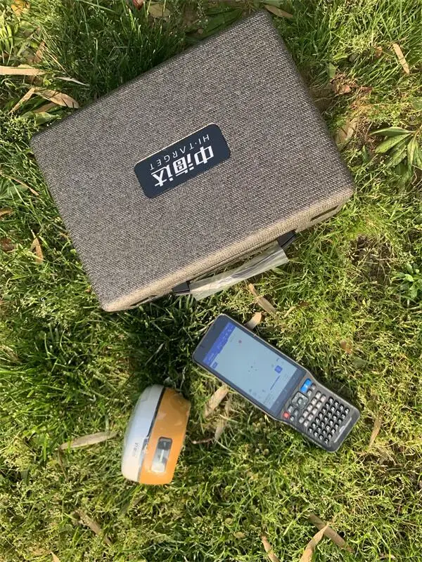
*The New IMU GNSS RTK with Visual Positioning Technology
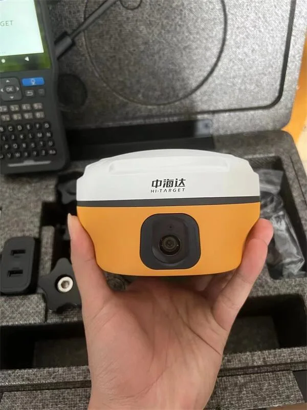
Equipped with professional dual cameras, vRTK is Hi-Target's first lightweight and innovative visual RTK receiver product, which not only enables non-contact image surveying, breaking through the objective constraints of previous work, but also improves the speed of stakeout with the function of Live View Stakeout. It greatly improves the work efficiency of engineering users.
| GNSS Configuration | Satellite signals tracked simultaneously | Channels: 1408 |
| BeiDou: BDS : B1I,B2I,B3I,B1C,B2a,B2b | ||
| GPS: L1C/A,L1C,L2P(Y),L2C,L5 | ||
| GLONASS: L1,L2 | ||
| GALILEO: E1,E5a,E5b,E6 | ||
| SBAS: L1,L2,L5 | ||
| IRNSS :L5 | ||
| QZSS : L1,L2,L5,L6 | ||
| Support the PPP service | ||
| Output format | ASCII: NMEA-0183, binary data | |
| Positioning output frequency | 1-20Hz | |
| Static data format | GNS and Rinex | |
| Differential format | RTCM2.X,RTCM3.X | |
| Network model | VRS, FKP, MAC; support NTRIP | |
| System Configuration | Operating system | Linux |
| Data storage | Built-in 8GB ROM, support automatic cycle storage of static data | |
| Accuracy and Reliability | RTK Positioning | Horizontal: ±(8+1×10⁻⁶D)mm |
| Vertical: ±(15+1×10⁻⁶D)mm | ||
| Static Positioning | Horizontal: ±(2.5+0.5×10⁻⁶D)mm | |
| Vertical: ±(5+0.5×10⁻⁶D)mm | ||
| DGPS Positioning | Horizontal:±0.25m+1ppm | |
| Vertical: ±0.50m+1ppm | ||
| SBAS Positioning | 0.5m | |
| Tilt measurement accuracy | 8mm+0.7mm/°tilt | |
| Image stakeout accuracy | Typical accuracy: 2cm | |
| Image measurement accuracy | 2cm ~ 4cm | |
| initialization time | <10s | |
| Initialization reliability | >99.99% | |
| Continued test at breakpoint | RTK measurements are still available during differential signal interruptions | |
| Camera | Pixels | Professional Dual HD Camera, 2MP & 5MP |
| Futures | Support real scene stakeout, image measurement, working distance 2~15m | |
| Communication Sensor | Cellular mobile | Built-in Sim card |
| Internal 4G mobile network:TDD-LTE,FDD-LTE,WCDMA,TD-SCDMA, EDGE,GPRS,GSM | ||
| I/O ports | USB type C interface; SMA interface | |
| WiFi | 802.11 b/g access point and client mode, WiFi hotspot available | |
| Bluetooth | Bluetooth® 4.0/2.1+EDR, 2.4GHz | |
| Internal UHF transceiver radio | Transmitting power: 0.5W/1W/2W adjustable | |
| Frequency: 410MHz-470MHz | ||
| Protocol: HI-TARGET,TRIMTALK450S,TRIMMARKTRANSEOT,SOUTH,CHC,SATEL | ||
| Bands: 116 bands(16 bands are configurable) | ||
| Working Range: Typically 7km | ||
| External UHF radio | Transmitting power: 10W/30W adjustable | |
| HDL460A radio | Working voltage: 9-16V | |
| Frequency: 403MHz-473MHz | ||
| Protocol: HI-TARGET,TRIMTALK450S,TRIMMARKIII TRANSEOT,SOUTH,CHC,SATEL | ||
| Bands: 116 bands(16 bands are configurable) | ||
| Transmission rate: 19.2kbps, 9.6kbps adjustable | ||
| Working Range: Typically 8-10 km ,optimal 15-20 km | ||
| Electronic bubble | Intelligent levelling | |
| IMU Tilt survey | Tilt correction system will continue to monitor the inclination of the centering rod, and compensate to correct the coordinates | |
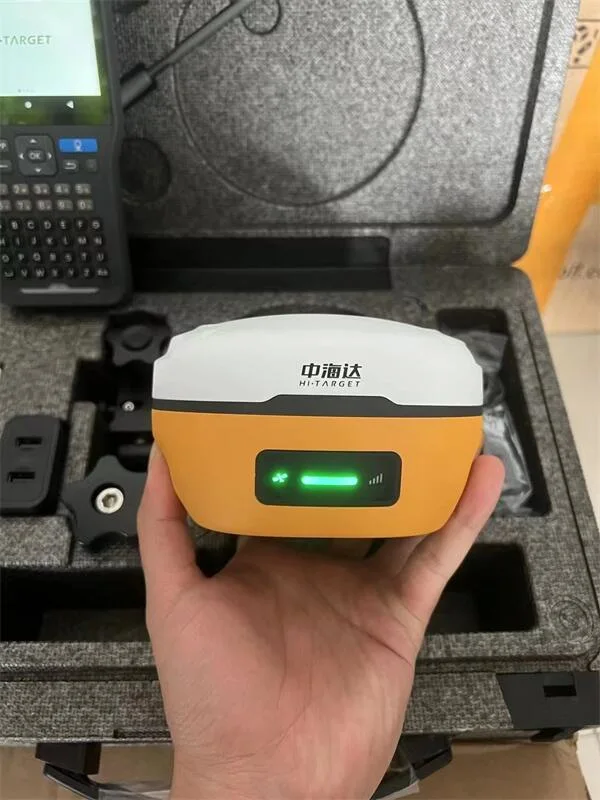
| User Interface | Button | Single button |
| LED Lamp | LED light: satellite light, signal light, power light | |
| Application Function | Advanced function | NFC IGRS, WebUI interaction, U disk firmware upgrade |
| Intelligence application | intelligent voice, function self-test | |
| Remote service | Message push, online upgrade, remote control | |
| Cloud services | device management, location services, collaborative work, data analysis | |
| Physical | Operating temperature | -45ºC~+75ºC |
| Storage temperature | -55ºC~+85ºC | |
| Humidity | 100% non-condensing | |
| Water/dustproof | IP68 dustproof, protected from temporary | |
| Anti-drop | Anti-2m high measuring rod natural drop | |
| GNSS battery | high-capacity li-ion battery 7000mAh, working time is better than 15 hours | |
| External power supply | USB 15W charging | |
| Dimensions | Φ130mm×80mm | |
| Weight | ≤0.97kg | |
| Power | 2.6W | |
| Material | The shell is made of magnesium alloy material |
Shanghai Apekstool was founded and based in Shanghai, specializing in the manufacturing and sales of Surveying equipment. We are dedicated to being a professional provider for survey equipment. Our goal is to provide the best products and excellent service to our customers all over the world.
We have been involved in the geographic mapping industry for 10 years. We supply all products with reasonable prices and real-time support upon our own professional experience and high-quality supply chain. Like gnss rtk, total station, theodolite, auto level, rotary laser level, laser level and surveying accessories. We have sold to more than 156 countries and build our stable market.
We are proud to guarantee that, with our strong technical background and communication capability, our sales/support engineers are able to answer your most complicated technical questions over the phone in English. That would save so much time for communication. Our business is growing and we invite you to be part of the success.
We focus on Hi target, CHCNAV, EFIX, FOIF, STONEX, SOUTH , KOLIDA ,RUIDE, Unistrong, E-survey GNSS, Geomax , Sunway, Stonex, Hi target and Kolida total station. Including surveying accessories pole , tripod, tribrach, prism and leveling staff.