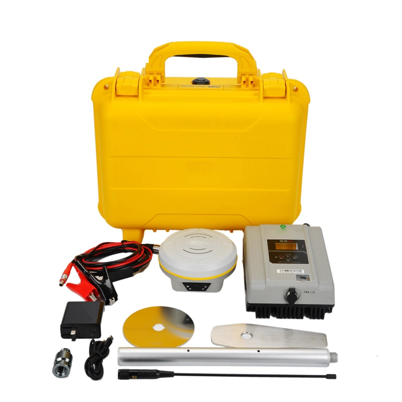
Description
Product Description
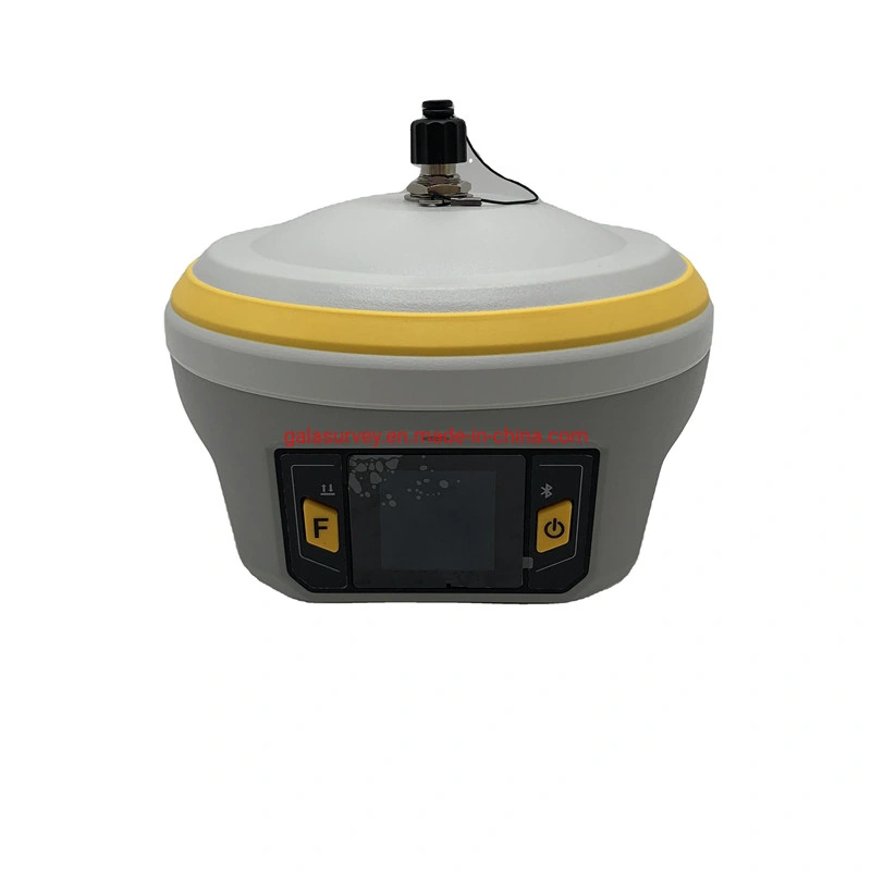
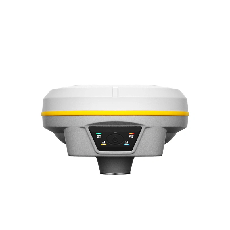
The Best-in-Class GNSS EngineThe integrated advanced 965-channel GNSS technology helps K3IMU to collect signal from GPS, Glonass, Beidou, Galileo, QZSS, in particular the latest BeiDou III. It greatly improved the data quality and satellite signal capturing speed of GNSS surveying."SOC" , New System Structure
"SOC" means"System-on-Chip", this new design integrates several individual hardware modules into one microchip. The receiver can be much lighter and smaller, system runs more stable and faster, bluetooth connection speed is faster. The"High-Low Frequency Integration"antenna can effectively restrain the interruptive signal.
Tilt angle is up to 60 degrees, accuracy is down to 2cm.
KOLIDA's 3rd generation inertial sensor and algorithm are onboard now. The working speed and stability have been improved for 30% from the last version. When the GNSS fixed solution is lost and recovered again, Inertial sensor can remain the working status in a few seconds, no need to spend time to reactivate it...
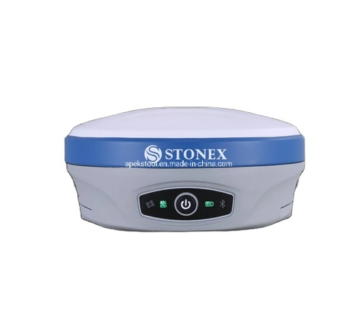
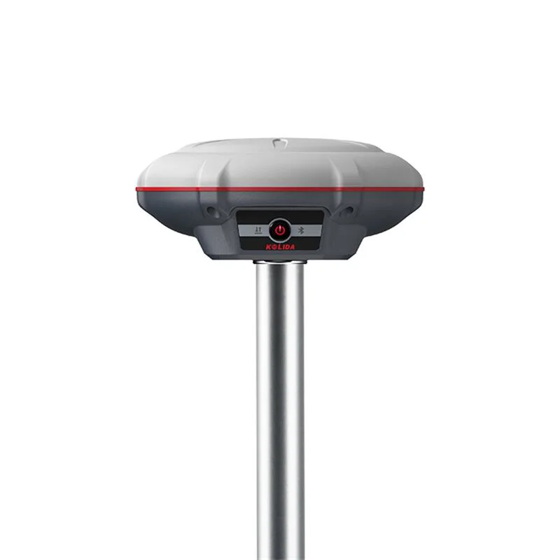
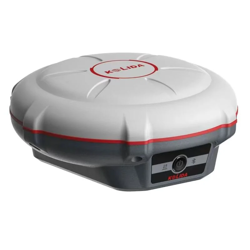
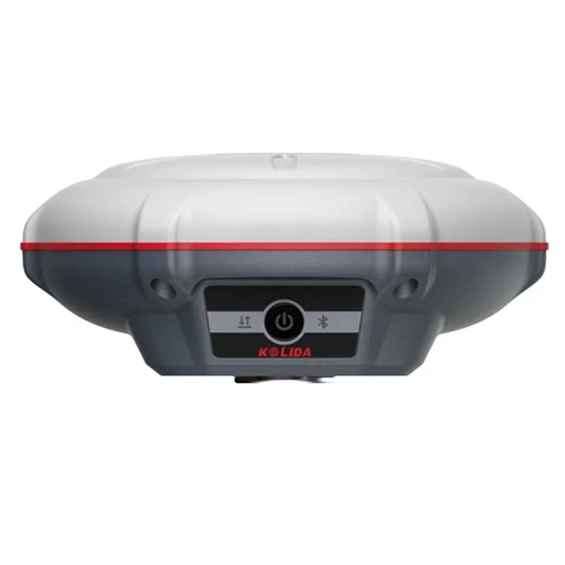
0.69 kg, Comfort Experience
K3 IMU is ultra light, the total weight is only 0.69 kg including battery, 40% even 50% lighter than a traditional GNSS receiver. The light-weight design reduces surveyor's fatigue, increase their mobility, is especially helpful to work in challenging environment.
A Huge Leap In Working Hours
Thanks to the high-capacity battery and the intelligent power management plan, K3 IMU can work up to 12 hours in RTK radio rover mode, up to 15 hours in static mode. The charging port is Type-C USB, users can choose KOLIDA quick charger or their own smartphone charger or power bank to recharge.
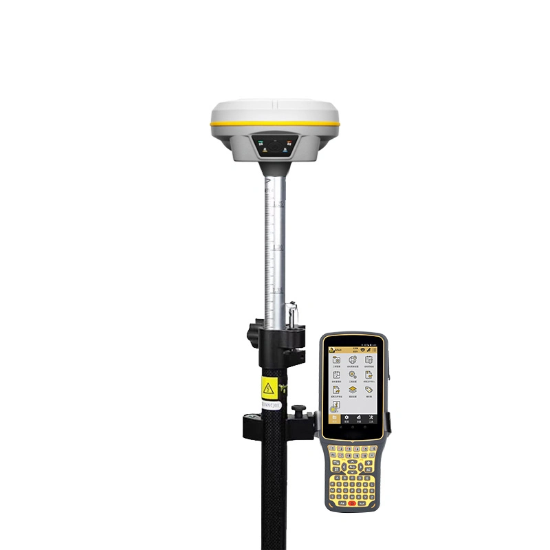
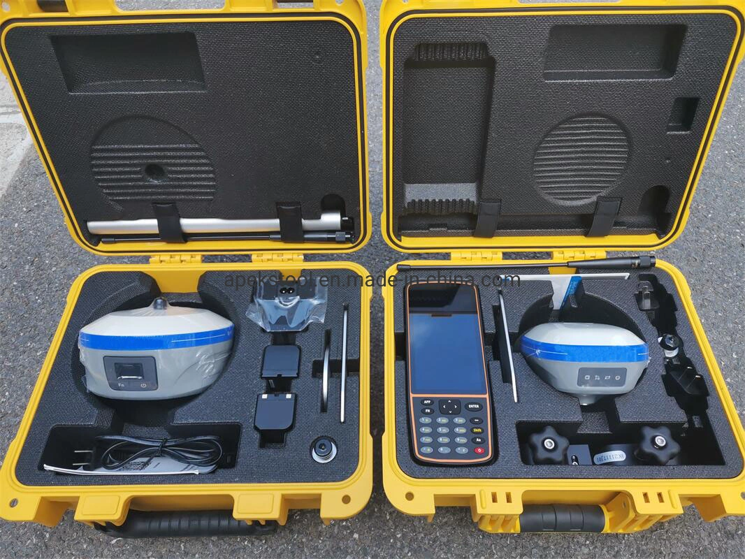
Easy Operation
K3 IMU can seamlessly connect to RTK GNSS networks via Android controller or smartphone with KOLIDA field data collection software, to work as a network rover, also can be worked as UHF radio rover by using its internal radio modem..
New Radio, Farlink Tech
Farlink technology is developed to send large number of data and avoid data loss.
This new protocol improves the signal-catching sensitivity from -110db to -117db, so K58 plus can transmit to 10 km away by only 1 watt power consumption.
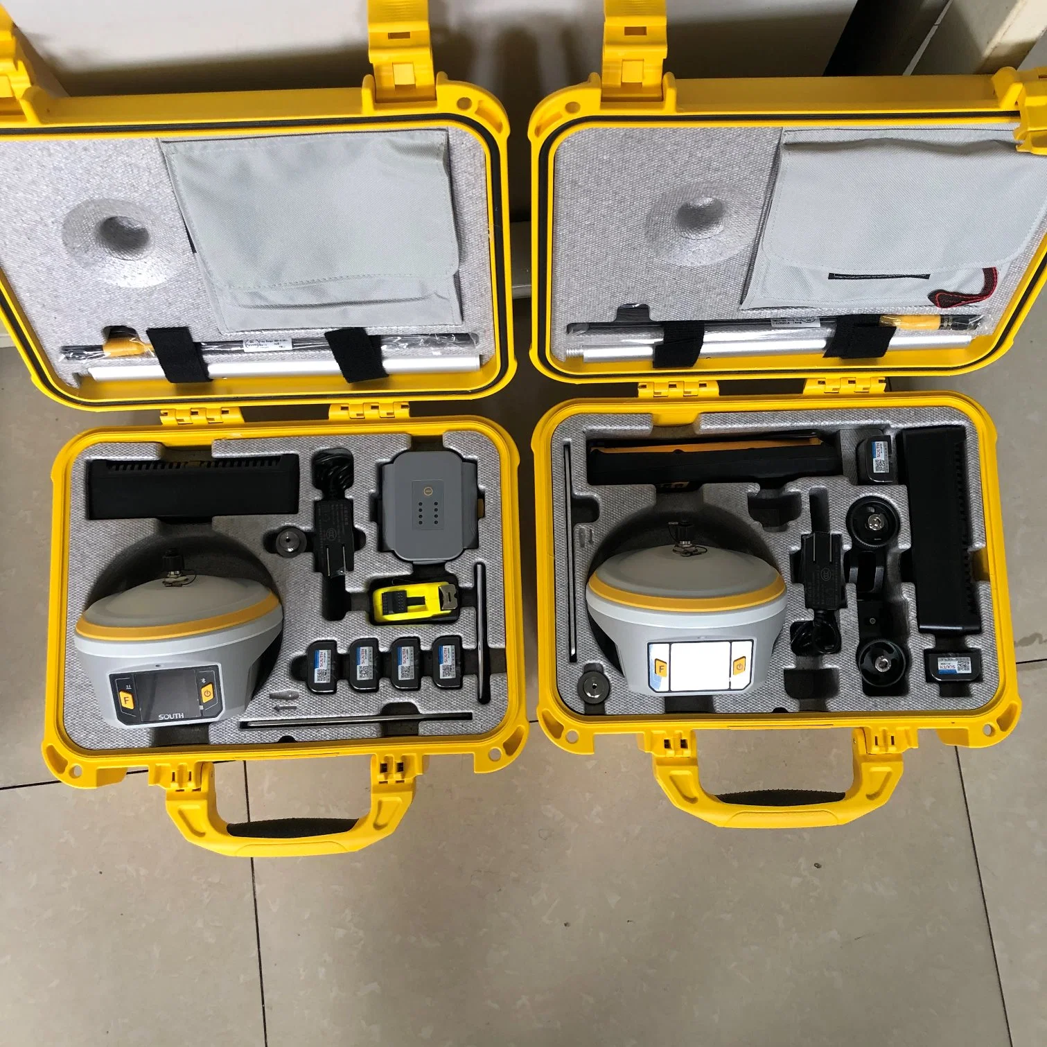
Specifications
Company Profile
Shanghai Apekstool was founded and based in Shanghai, specializing in the manufacturing and sales of Surveying equipment. We are dedicated to being a professional provider for survey equipment. Our goal is to provide the best products and excellent service to our customers all over the world.
We have been involved in the geographic mapping industry for 10 years. We supply all products with reasonable prices and real-time support upon our own professional experience and high-quality supply chain. Like gnss rtk, total station, theodolite, auto level, rotary laser level, laser level and surveying accessories. We have sold to more than 156 countries and build our stable market.
We are proud to guarantee that, with our strong technical background and communication capability, our sales/support engineers are able to answer your most complicated technical questions over the phone in English. That would save so much time for communication. Our business is growing and we invite you to be part of the success.
Customer Case

 Complaint