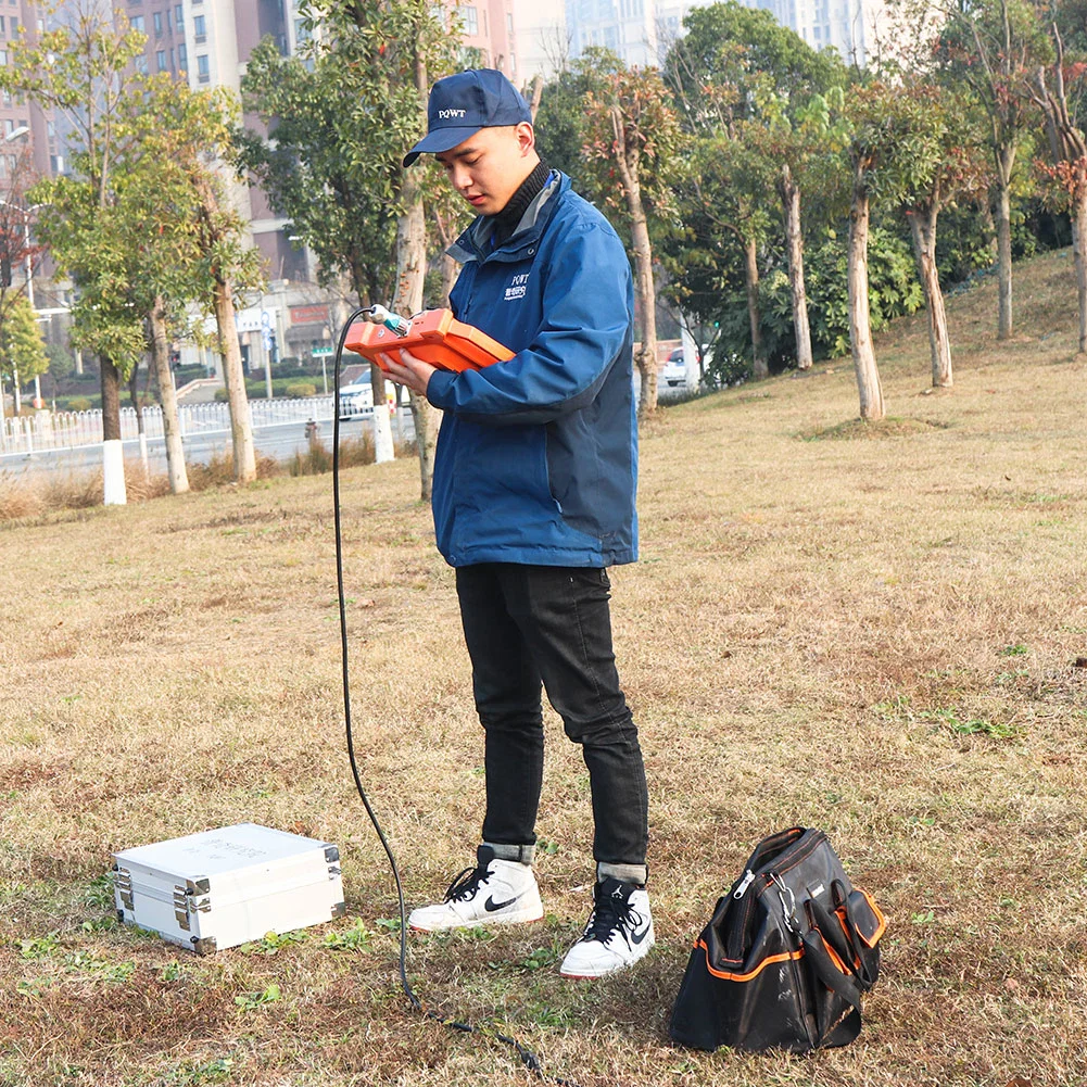
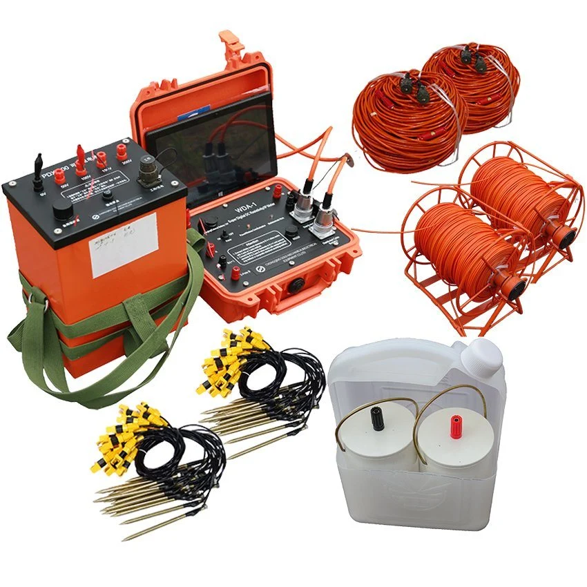
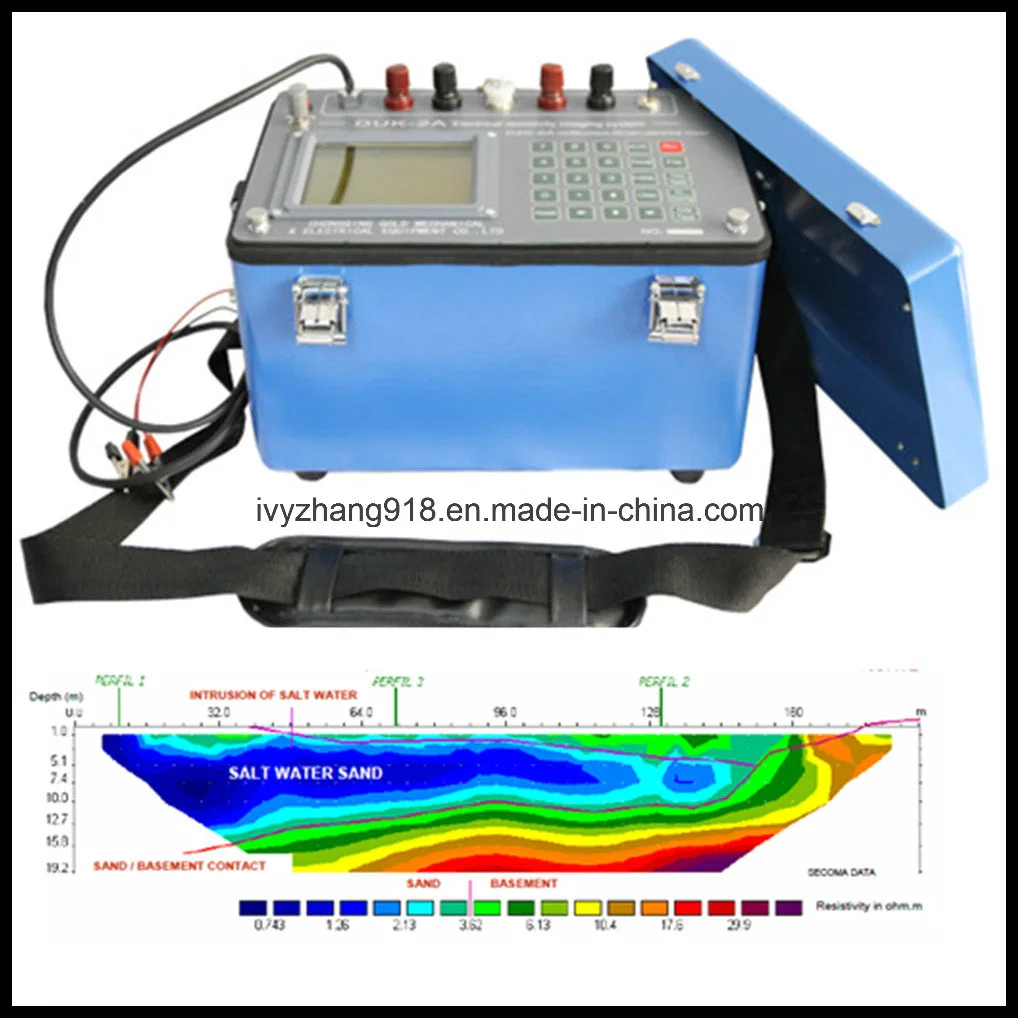
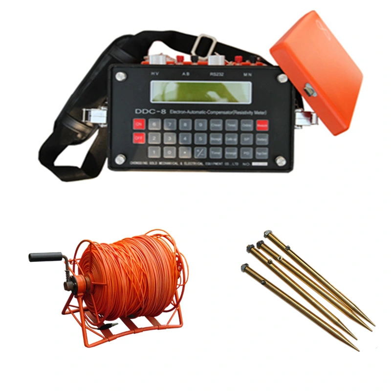
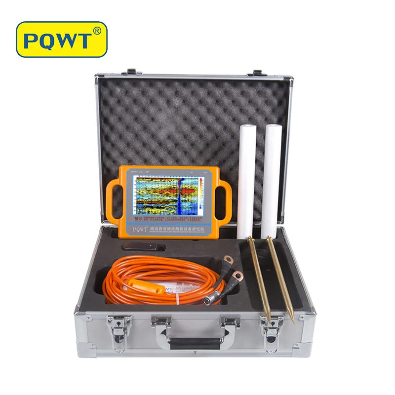
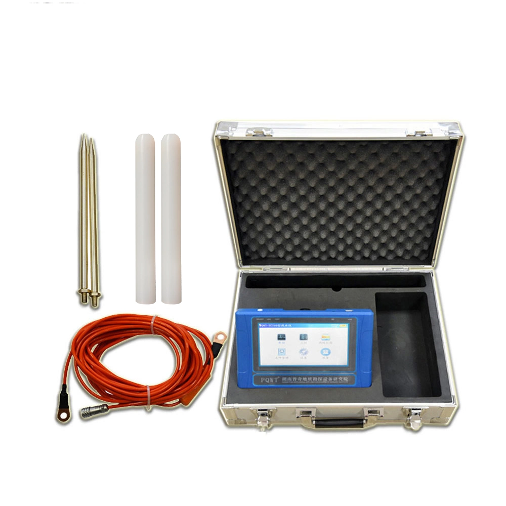
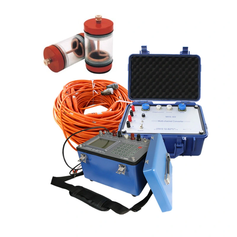
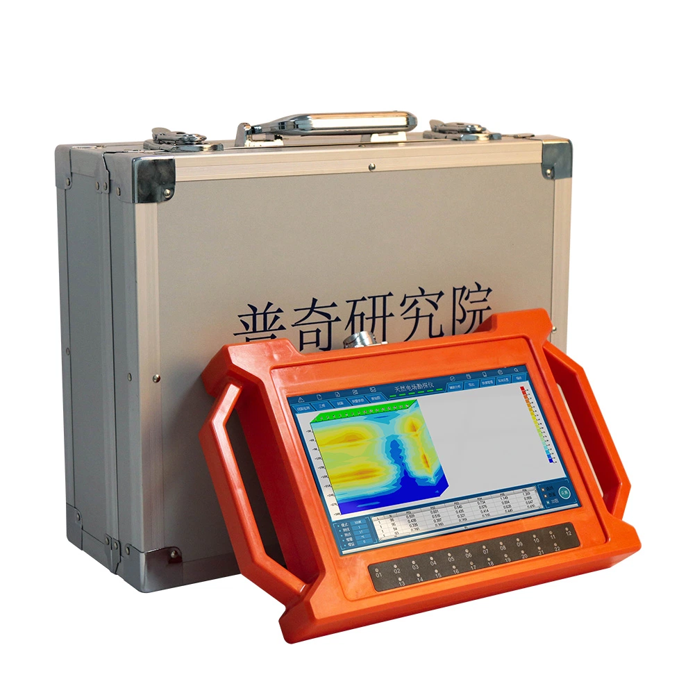
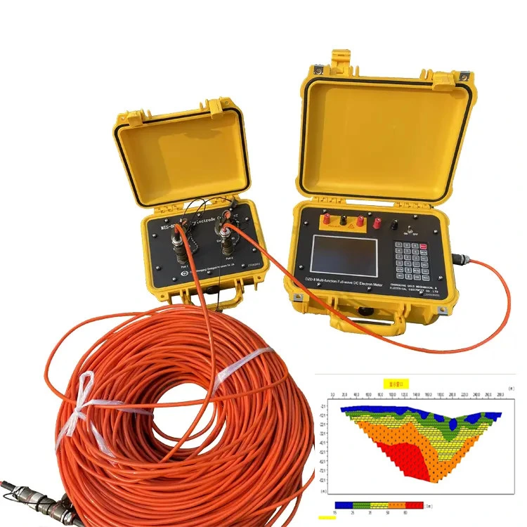
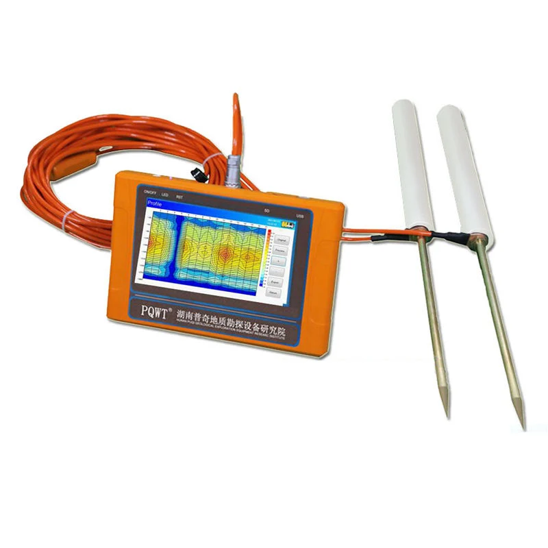
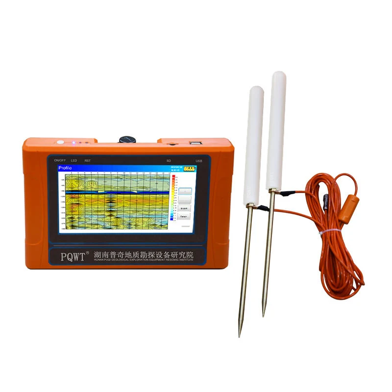
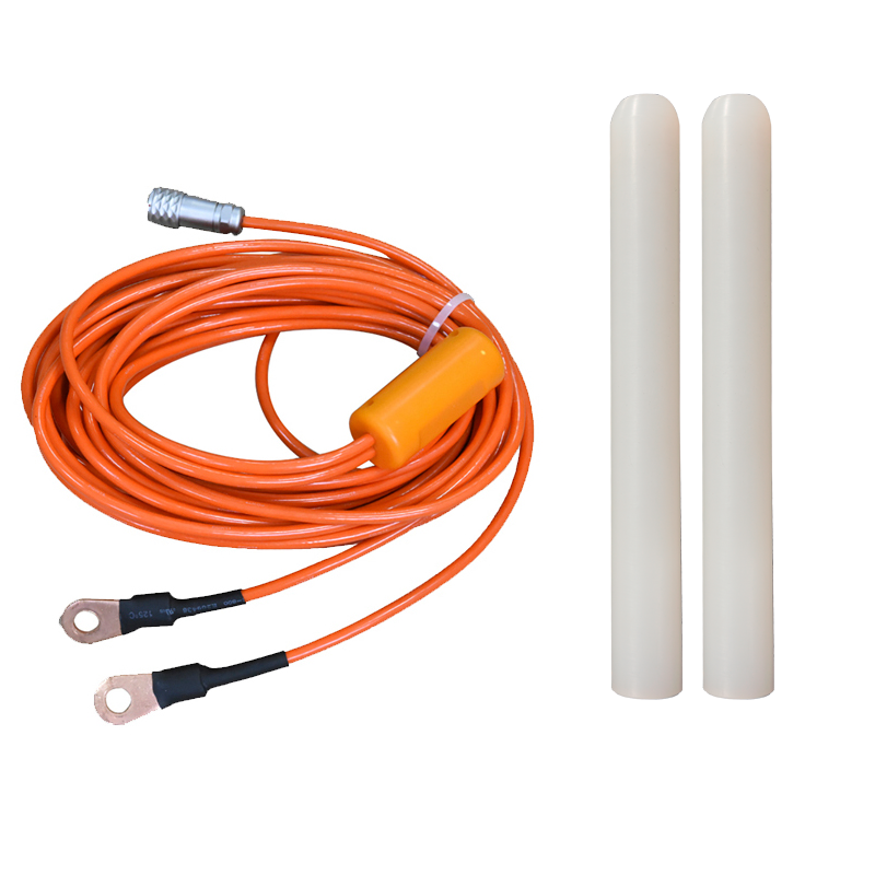
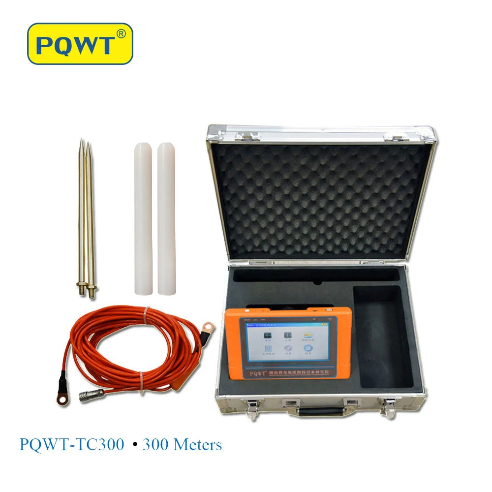
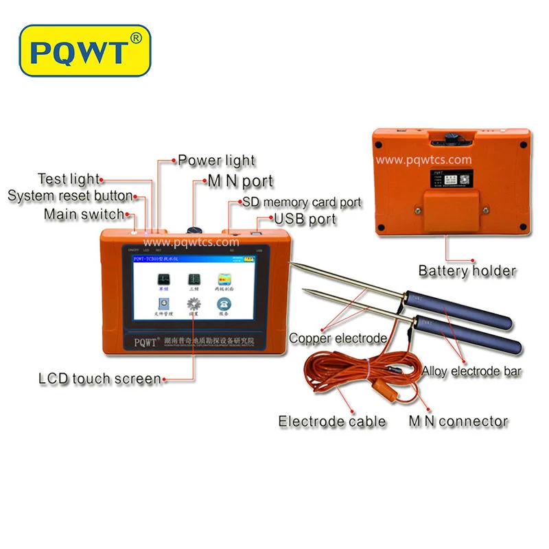
PQWT-TC300 geophysical prospecting mapping with one button underground water finder utilize the natural electric field as working electromagnetic field source, based on the resistivity differences of underground rock , ore or groundwater, measure natural electric field on the ground of N different frequencies electric field component. According to their different variation to study the abnormal changes which is caused by different geological bodies ,to solve the geological problems of a kind of electrical prospecting method. PQWT-TC300 natural electric field a key to mapping geophysical prospecting underground water detector is our latest research and development of products, using a number of patented technologies. The instrument weight is very light to carry easily , the measuring line need only 10 meters, one person will be able to complete the operation, saving manpower, full touch screen, simple operation, external high-capacity memory card, with the function of real-time mapping with only one button, finding high resistance (fault zone), low resistance (such as water, mining census) through real-time mapping directly display geological abnormal on the measuring site. After data collection by the unique built-in computing functions, the instrument can automatically draw curve graph and profile map with only one button, according to the profile map, you can clearly understand the geological structure and quickly determine the location of ore body (seam), hollow (cave), water (aquifer) etc.

 Complaint