
 Complaint

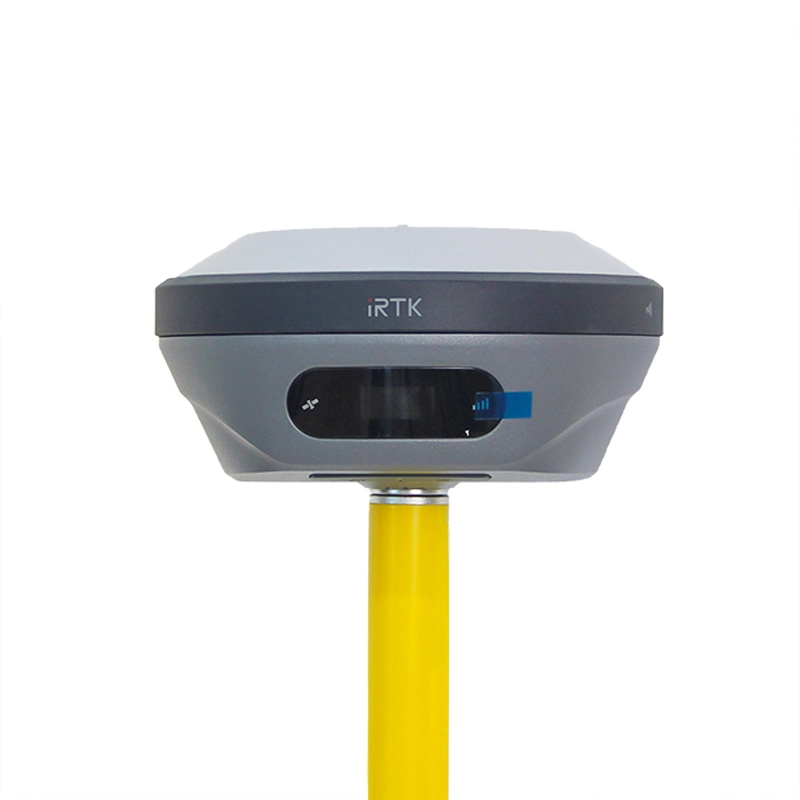
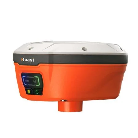
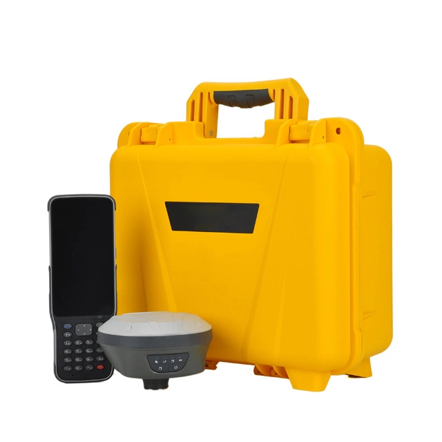
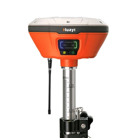
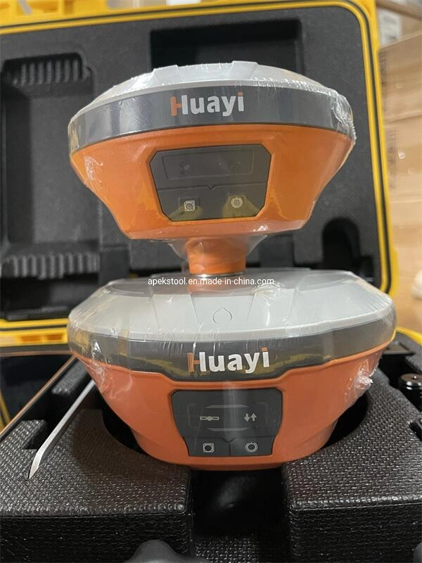
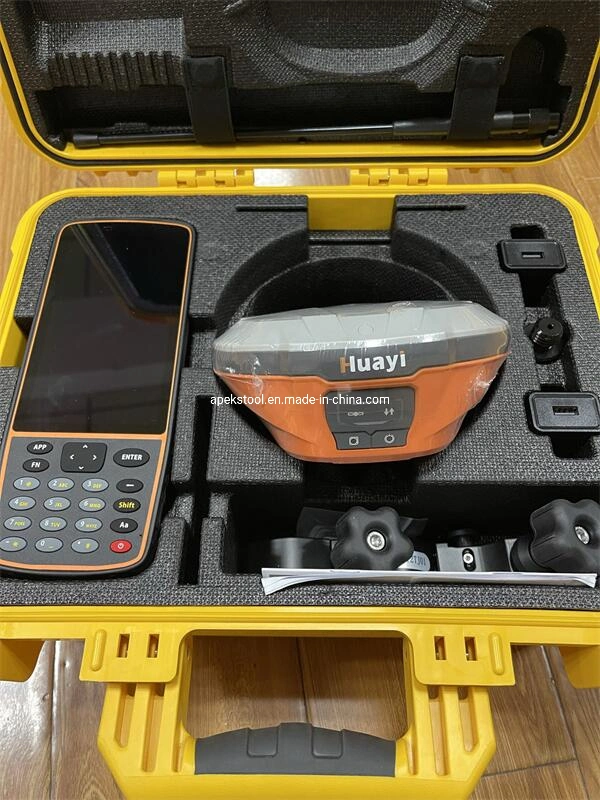
The E91 GNSS receiver integrates positioning and communication technologies in a rugged unit that is designed to provide work flexibility. When RTK networks are unavailable at your job sites, just easily set up one E91 GNSS UHF base and use your E91 GNSS UHF rover to conduct your RTK survey.
*GNSS constellation tracking, all-around and fast.
GPS, GLONASS, Galileo, BeiDou and QZSS, 624 signal channels to track them all. Fast GNSS signal tracking for instant and accurate positioning even in challenging environments.
*High and reliable accuracy
Advanced multipath mitigation technology and low elevation tracking technology. Adaptive anti-interference capability to effectively suppress narrowband and single-tone radio interference. Users achieve accurate positioning even in complex electromagnetic environments.
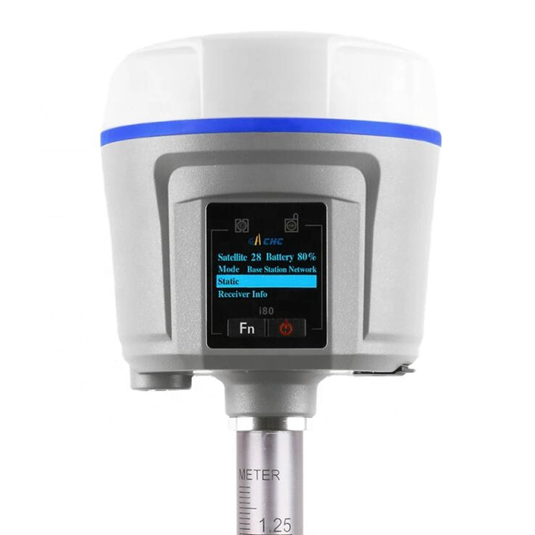
*Full of functions As Base or as rover, RTK, PPK and Static. Via internal or external UHF, 4G network with SIM card either in receiver or in controller. Through various radio protocols, NTRIP or APIS. Built-in Wi-Fi modem, can even serve as a hotspot.
COMPREHENSIV EDESIGN EASY TO USE SUPPORT CAD
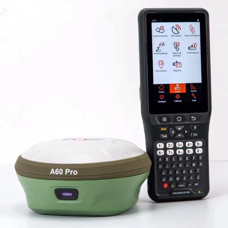
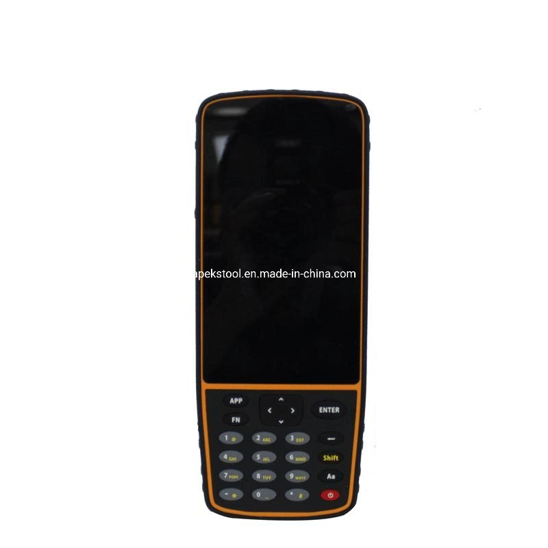
LandStar7 is the field-proven survey and mapping software solution for any Android devices and data controllers. Designed for high precision surveying and mapping tasks, LandStar7 provides seamless workflow management, easy-to-learn and easy-to-use graphical user interface
to complete all your projects efficiently. Comprehensive data import and export formats, multiple measurement and stakeout methods ensure instant productivity.
| Gnss | Channel | 624 |
| Satellite Tracked | GPS L1CA/L1P/L1C/L2P/L2C/L5 | |
| GLONASS G1, G2, G3 | ||
| Galileo E1, E5a, E5b, ALTBOC, E6 | ||
| QZSS L1, L2 L5, | ||
| BeiDou B1I, B2I, B3I, B1C, B2a, B2b, ACEBOC | ||
| SBAS Ll, L5 | ||
| Performance | Update rate | 5 Hz, up to 50 Hz |
| Signal Reacquisition | < 1 sec | |
| Hot Start | < 10 sec | |
| Initialization Reliability | > 99.9% | |
| Memory | 8 GB | |
| Real-Time Accuracy (rms) | Static Accuracy | Horizontal:3mm + 1ppm |
| Vertical:5 mm + 1 ppm | ||
| RTK Accuracy | Horizontal:8 mm + 1 ppm | |
| Vertical:15 mm + 1 ppm | ||
| Code Differential | Horizontal:0.4 m | |
| SBAS Accuracy | Horizontal:0.8 m | |
| Communication | 7-pin | Connect to external power and radio |
| USB | For charging and data transmission | |
| Cellular | Global 4G | |
| Bluetooth | V4.1 | |
| WIFI | 802.11 ac/n/b/g/n | |
| WebUI | Update firmware, manage settings and | |
| status, download data | ||
| Date formats | CNR input and out put | |
| RTCM 2.x, RTCM 3.x input and output | ||
| NMEA 0183 output | ||
| HCN, HRC and RINEX 2.11, RINEX 3.02 | ||
| NTRIP Client, NTRIP Caster | ||
| Electronic Bubble | Support | |
| Dimensions | 160*158*96mm , 1.55KG | |
| Shock | Survive a 2 m pole drop on concrete floor 1.2 m free drop | |
| 5-pin lemo port | connecting external power supply and external radio | |
| SIM Card | NANO SIM | |
| Cellular | Global 4G | |
| Bluetooth | V2.1+EDR / V4.1 Dual Mode, Class 2 | |
| WIFI | 802.11 ac/n/b/g/n | |
| WebUI | Update firmware, manage settings and | |
| status, download data | ||
| Electronic Bubble | Support | |
| Environment | Dustproof&Waterproof | IP67 (Customizable IP68) |
| Humidity | 95% non-condense | |
| Power Supply | Battery | Rechargeable, built-in Lithium-ion battery,7.2 V - 10200 mAh |
| Voltage | 9~28 V DC external power input | |
| Working Time | Up to 16 hours | |
| Charge Time | Typically 4 hours | |
| Internal Radio | Frequency Range | 410 - 470 MHz |
| Protocol | CHC, Transparent, TT450 | |
| Emitting Power | 0.5 W / 2 W | |
| Operating Range | 5 km typically |
Shanghai Apekstool was founded and based in Shanghai, specializing in the manufacturing and sales of Surveying equipment. We are dedicated to being a professional provider for survey equipment. Our goal is to provide the best products and excellent service to our customers all over the world.
We have been involved in the geographic mapping industry for 10 years. We supply all products with reasonable prices and real-time support upon our own professional experience and high-quality supply chain. Like gnss rtk, total station, theodolite, auto level, rotary laser level, laser level and surveying accessories. We have sold to more than 156 countries and build our stable market.
We are proud to guarantee that, with our strong technical background and communication capability, our sales/support engineers are able to answer your most complicated technical questions over the phone in English. That would save so much time for communication. Our business is growing and we invite you to be part of the success.
We focus on Hi target, CHCNAV, EFIX, FOIF, STONEX, SOUTH , KOLIDA ,RUIDE, Unistrong, E-survey GNSS, Geomax , Sunway, Stonex, Hi target and Kolida total station. Including surveying accessories pole , tripod, tribrach, prism and leveling staff.