 Complaint

| Quantity(sets) | 1 - 10000 | >10000 |
| Lead time (days) | 5 | To be negotiated |
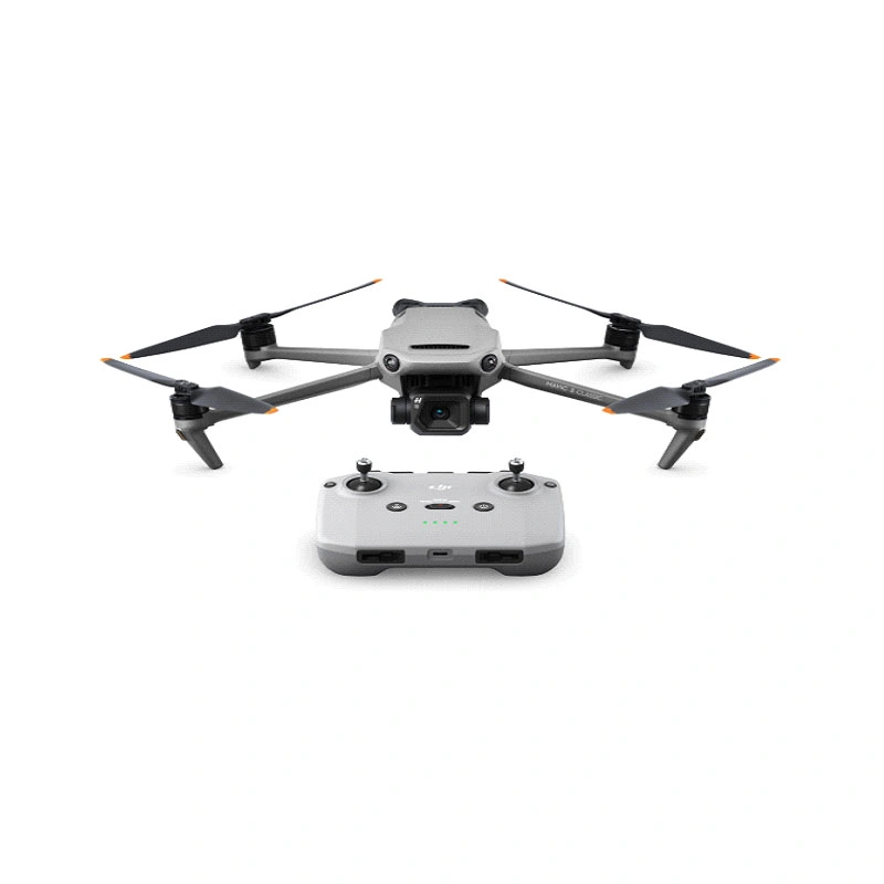
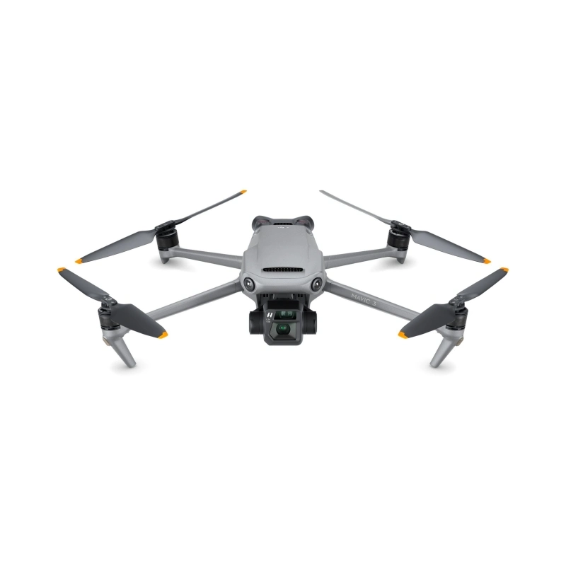
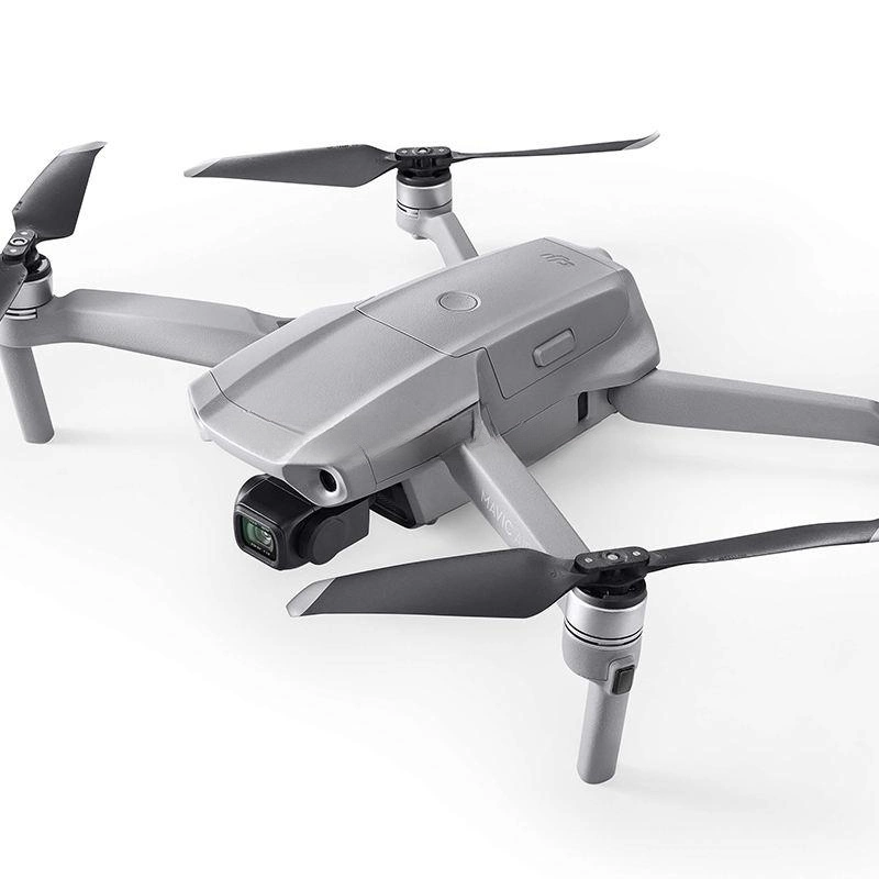
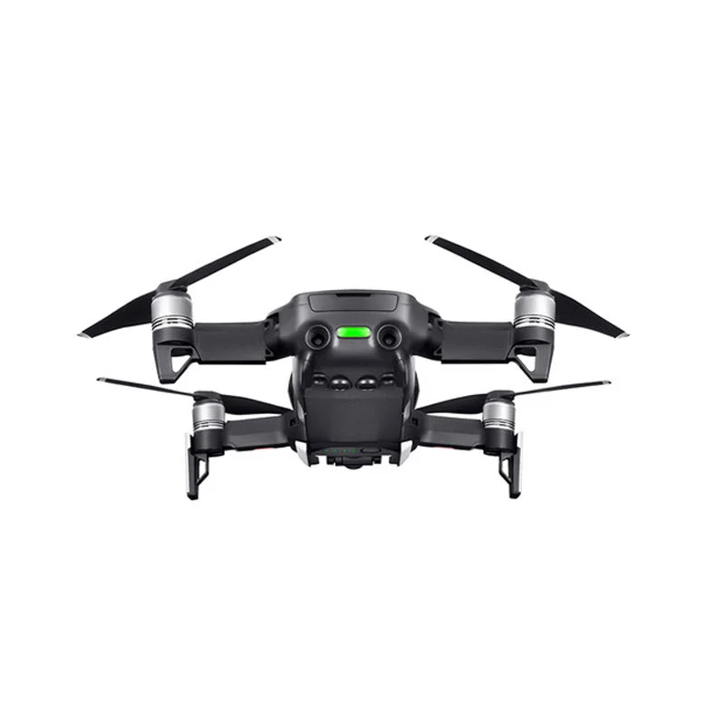
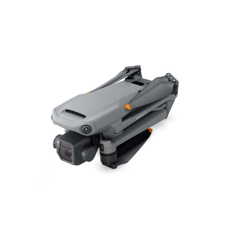
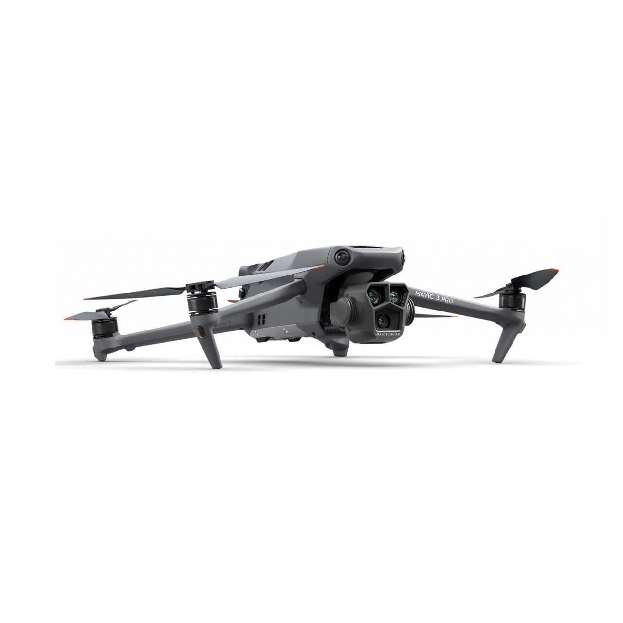
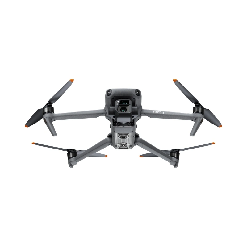
Model Number | DJI Mavic 3 Classic |
Takeoff weight | 895 grams |
Size | Folded (without propellers): 221 x 96.3 x 90.3 mm (L x W x H) Unfolded (without propellers): 347.5 x 283 x 107.7 mm (L x W x H) |
Maximum climbing speed | 8 m/s |
Maximum descent speed | 6 m/s |
Maximum horizontal flight speed (at sea level, no wind) | 21 m/s 19 m/s or less in the EU region. |
Operating limit altitude (above sea level) | 6000m |
Maximum flight time | Measured in a controlled test environment for 46 minutes . Specific test conditions: APAS off, AirSense off, camera parameters set to 1080p/24fps, video mode off, altitude 0 m above sea level in no wind environment, battery from 100% to 0%, Flying at a constant speed of 32.4 km/h. Actual values may vary depending on surrounding environment, actual usage and firmware version. |
Maximum hovering time | Measured in a controlled test environment for 40 minutes . Specific test conditions: APAS off, AirSense off, camera parameters set to 1080p/24fps, video mode off, hovering from 100% to 0% battery at an altitude of 0 m above sea level in no wind. . Actual values may vary depending on surrounding environment, actual usage and firmware version. |
Maximum flight distance | 30km |
Maximum wind resistance | 12 m/s |
Maximum tilt angle | 35° |
Operating environment temperature | -10°C to 40°C |
Global Navigation Satellite System (GNSS) | GPS + Galileo + BeiDou |
Hovering accuracy range | Vertical: ±0.1 m (with Vision Positioning) ±0.5 m (with GNSS Positioning) Horizontal: ±0.3 m (with Vision Positioning) ±0.5 m (with Precision Positioning System) |
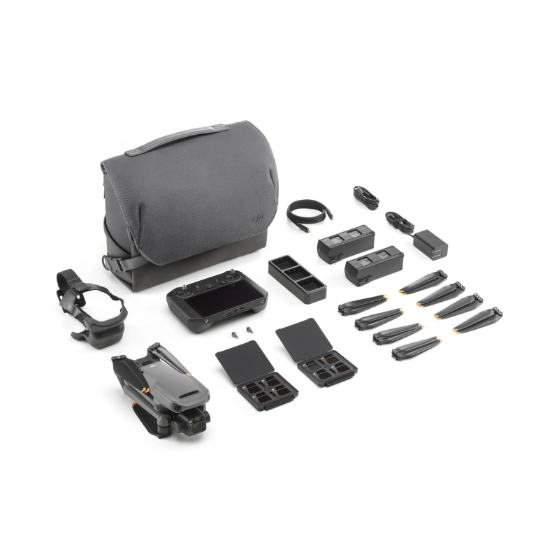
Internal storage | 8 GB (actual free space is about 7.9 GB) |