Description
Product Description
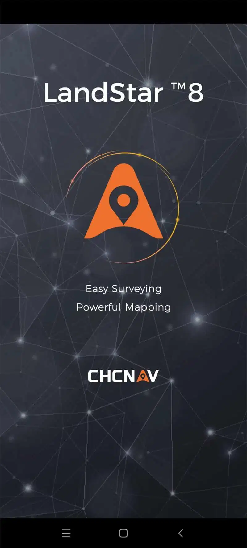
Popular Landstar8 Software With Permanent Code
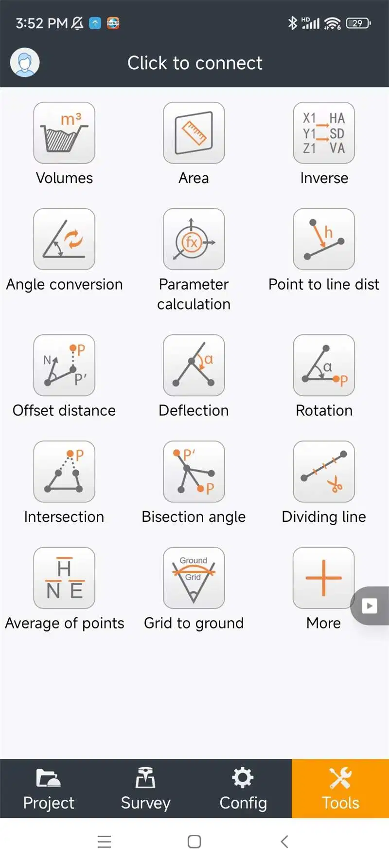
Software Features:
1. Easy to use and learn, with powerful features
LandStar 8's simple and intuitive layout, with large map windows and sharp graphics, makes surveying and mapping easier for all users. Only relevant information is displayed, and unused functions can be hidden to make the application even more straightforward and simple to operate. Integrated video tutorials are available to help field operators quickly master the app. Its modular design provides flexibility, and its rich feature set makes Landstar 8 an effective solution to meet the requirements of most applications.
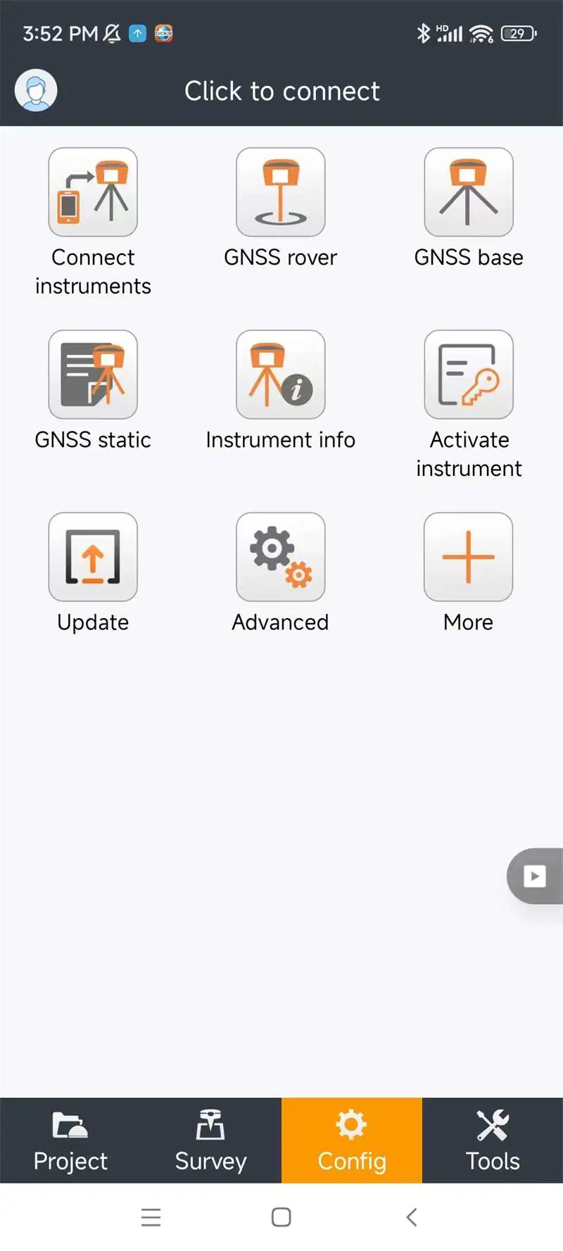
2. Simplified project and coordinated system management
When creating a project, LandStar 8 makes it easy to copy coordinate settings, control, and stake-out points from another handheld controller just by scanning a QR code. Projects can be conveniently edited and sorted by history and properties, making them easy to navigate. Custom coordinate systems, geoid models, and codification libraries, can be dynamically updated via resource packages. LandStar 8 also features a site calibration wizard specially designed to be uncomplicated for non-expert users.
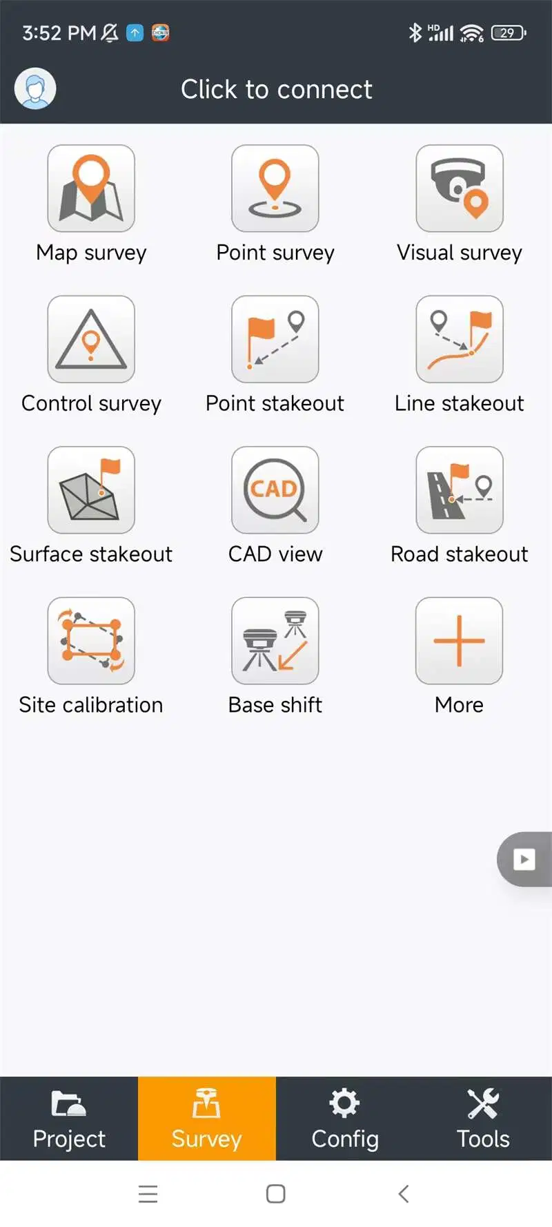
3. CAD base map rendering in seconds
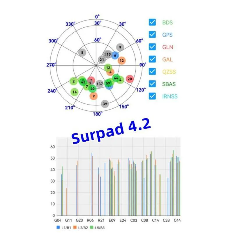
LandStar 8's proprietary MetaCAD graphics engine opens DWG and DXF base maps faster, with smoother rendering and an improved user experience. DXF files up to 200 MB can be opened on CHCNAV handheld controllers in less than 10 seconds. Smart base map functions include "Quick Code" for one-click feature coding to automatically create line features to increase project productivity. LandStar 8 supports the opening of external reference files, automatically recognizes CAD length units, and allows editing of CAD base maps directly in the field.
4. Cloud integration enables efficient collaboration from field to office
LandStar 8 is designed around an integrated cloud-based architecture, supporting project backup, collaborative work, data storage, and many other valuable features. Its remote support function helps the office helpdesk resolve user issues and provide personalized technical assistance. With the "share code" feature, users can quickly transfer project data between office computers and field controllers or between different field controllers to further enhance work efficiency.
Company Profile
Shanghai Apekstool was founded and based in Shanghai, specializing in the manufacturing and sales of Surveying equipment. We are dedicated to being a professional provider for survey equipment. Our goal is to provide the best products and excellent service to our customers all over the world.
We have been involved in the geographic mapping industry for 10 years. We supply all products with reasonable prices and real-time support upon our own professional experience and high-quality supply chain. Like gnss rtk, total station, theodolite, auto level, rotary laser level, laser level and surveying accessories. We have sold to more than 156 countries and build our stable market.
We are proud to guarantee that, with our strong technical background and communication capability, our sales/support engineers are able to answer your most complicated technical questions over the phone in English. That would save so much time for communication. Our business is growing and we invite you to be part of the success.
Customer Case
Customer Feedback
 Complaint