
 Complaint

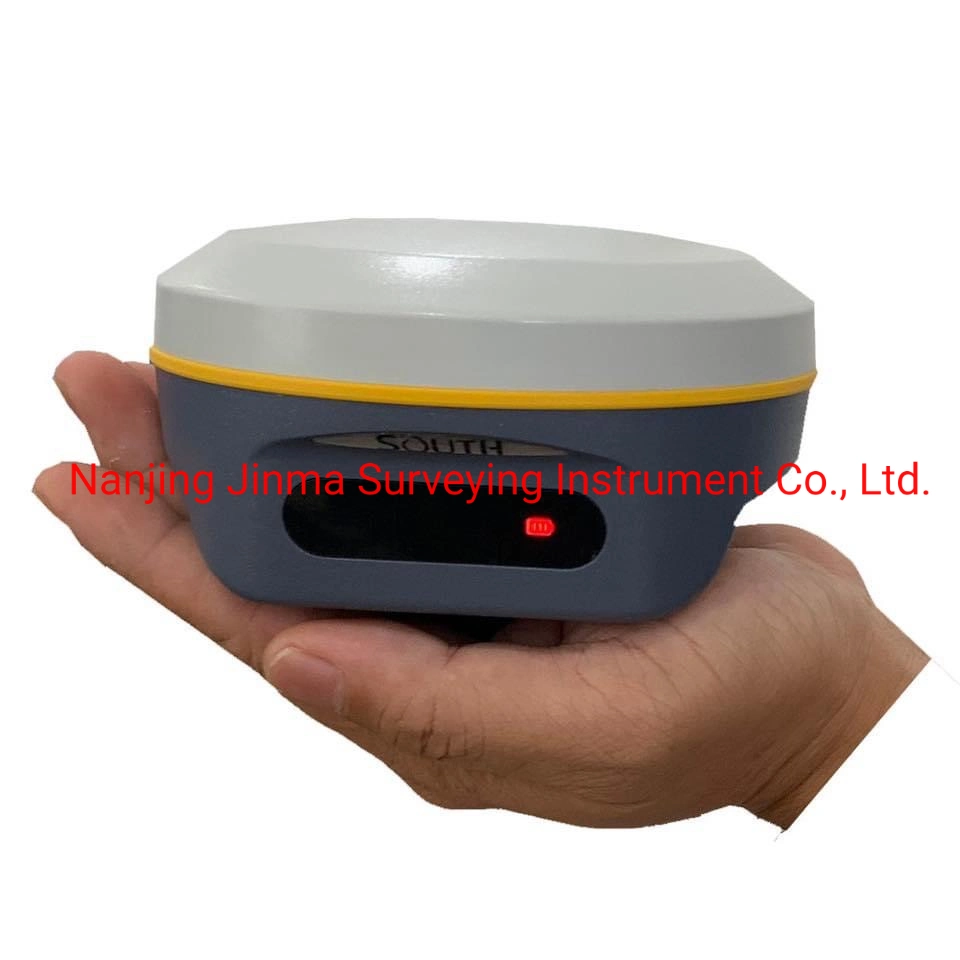
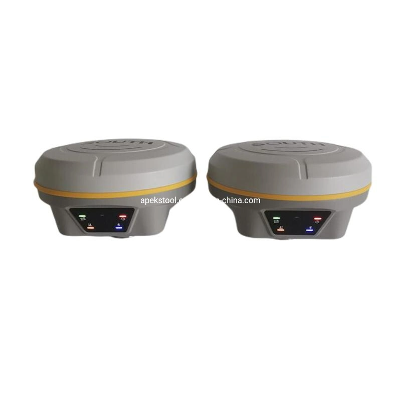
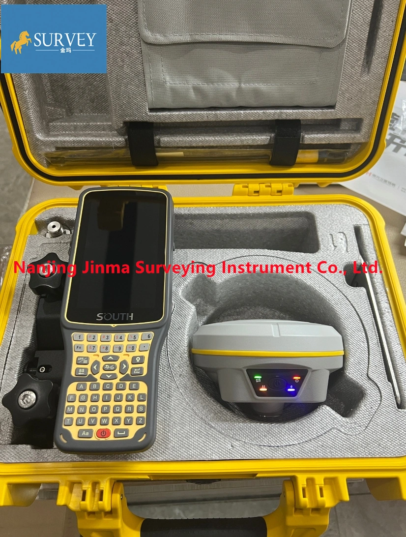
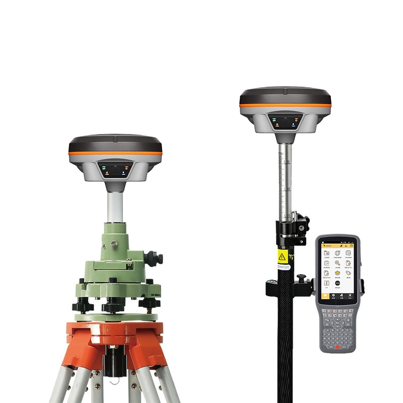
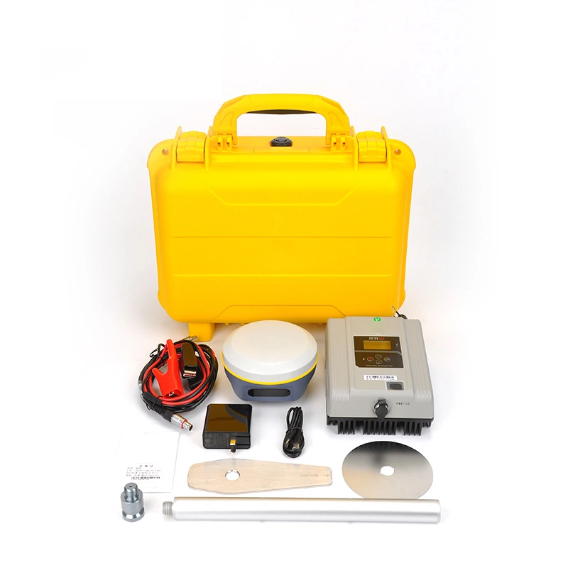
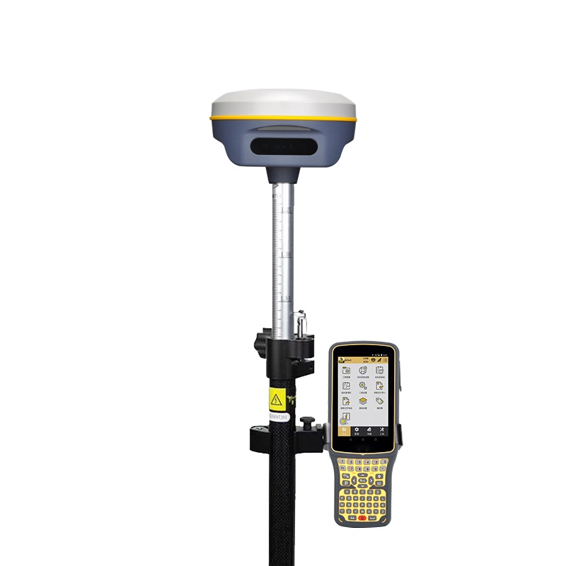
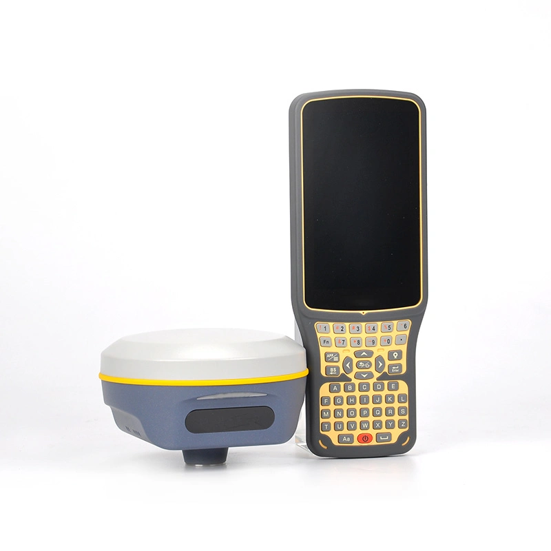
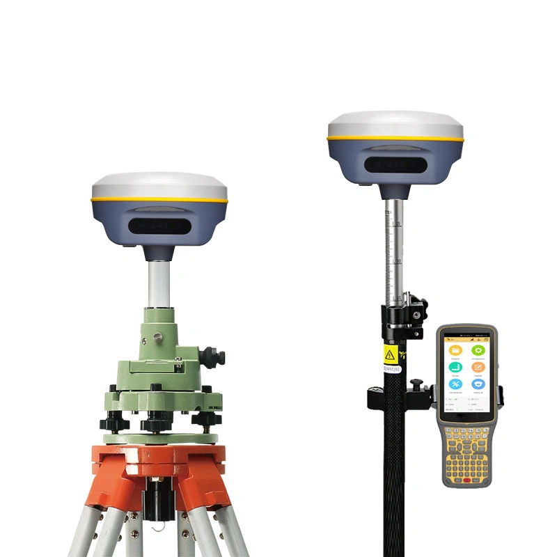
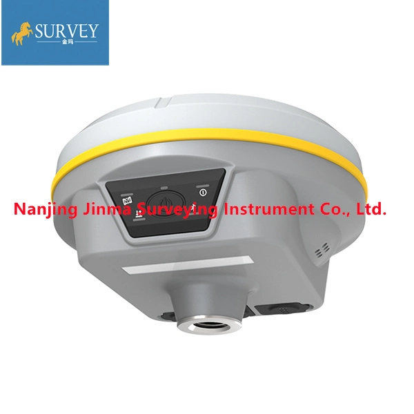
South Galaxy G3 GNSS RECEIVER:
Smaller, lighter and smarter
The Galaxy G3 is a brand new inclusion, the RTK dial is made of material, and it is made of magnesium alloy rare 780g, which is portable and easy to carry.
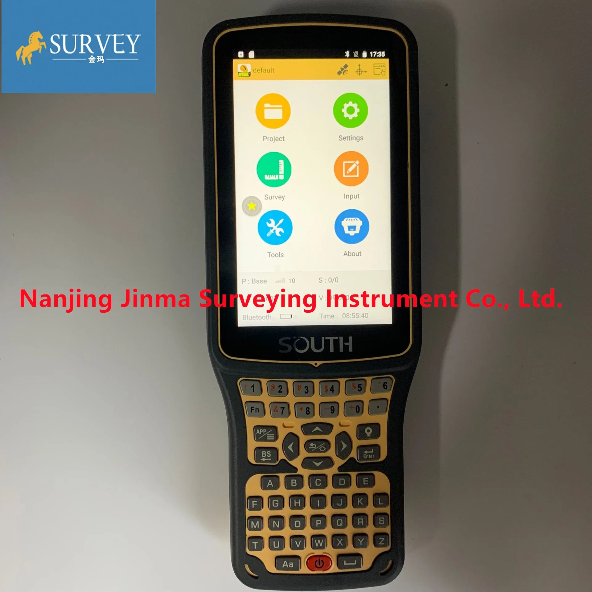
Indicator independence
The remaining independent inspection information shows that the module is clearly visible even in strong light under the display with different display functions
Voice experiment
Working mode, data connection status, channel number, learn how it works individually.
FARLINK protocol
Equipped with the UHF independently developed by the South, and adopts a new radio communication protocol - the remote signal and transmission target truly realize the ultra-long-distance working range
Beidou PPP
The L-B tracking capability, G3b and satellite positioning signals can provide the satellite precise orbit and precise clock error information carried by the Beidou-3 B2 satellite, providing real-time single-point positioning services for users. The positioning algorithm is no longer limited by terrain conditions such as mountains, deserts, and deserted islands. As long as there are GNSS constellations, fixed solutions can generally be used.
L-Band testing and data analysis
During the point acquisition process, we fixed G3 in a fixed position for continuous acquisition. Enter the survey - automatic survey, set the automatic collection method, our time interval is 1 second, and start the collection. Finally got 1000 points. After calculation, you can see the puppet shown in the figure below. The collection point is basically in the range of 4cm, the plane is about 2-4cm, and the elevation is about 5-10cm.
Smart data transfer
The latest port measurements of the Type-C design ensure that any raw data is transmitted, employees can easily get the data from the receiver and transfer it to the PC via social apps, effectively performing the entire job.
SPECIFICATIONS
| GNSS Features | Channels | 965 |
| GPS | L1, L1C, L2C, L2P, L5 | |
| GLONASS | L1C/A,L1P,L2C/A,L2P,L3* | |
| BDS | BDS-2: B1I, B2I, B3I BDS-3: B1I, B3I, B1C, B2a, B2b* | |
| GALILEOS | E1, E5A, E5B, E6C, AltBOC* | |
| SBAS(WAAS/MSAS/EGNOS/GAGAN) | L1* | |
| IRNSS | L5* | |
| QZSS | L1, L2C, L5* | |
| MSS L-Band | BDS-PPP | |
| Positioning output rate | 1Hz~20Hz | |
| Initialization time | < 10s | |
| Initialization reliability | > 99.99% | |
| Positioning Precision | Code differential GNSS positioning | Horizontal: 0.25 m + 1 ppm RMS Vertical: 0.50 m + 1 ppm RMS |
| Static(long observations) | Horizontal: 2.5 mm + 1 ppm RMS Vertical: 3 mm + 0.4 ppm RMS | |
| Static | Horizontal: 2.5 mm + 0.5 ppm RMS Vertical: 3.5 mm + 0.5 ppm RMS | |
| Rapid static | Horizontal: 2.5 mm + 0.5 ppm RMS Vertical: 5 mm + 0.5 ppm RMS | |
| PPK | Horizontal: 3 mm + 1 ppm RMS Vertical: 5 mm + 1 ppm RMS | |
| RTK(UHF) | Horizontal: 8 mm + 1 ppm RMS Vertical: 15 mm + 1 ppm RMS | |
| RTK(NTRIP) | Horizontal: 8 mm + 0.5 ppm RMS Vertical: 15 mm + 0.5 ppm RMS | |
| RTK initialization time | 2 ~ 8s | |
| SBAS positioning | Typically < 5m 3DRMS | |
| BANDA-L | Horizontal: 5-10cm (5-30min) Vertical: 10-30cm (5-30min) | |
| IMU | Less than 10mm + 0.7 mm/° tilt to 30° | |
| IMU tilt angle | 0° ~ 60° | |
| Hardware Performance | Dimension | 130mm(W) ×130mm(L) × 80mm(H) |
| Weight | 790g (battery included) | |
| Material | Magnesium aluminum alloy shell | |
| Operating temperature | -45ºC ~ +75ºC | |
| Storage temperature | -55ºC ~ +85ºC | |
| Humidity | 100% Non-condensing | |
| Waterproof/Dustproof | IP68 standard, protected from long time immersion to depth of 1m IP68 standard, fully protected against blowing dust | |
| Shock/Vibration | Withstand 2 meters pole drop onto the cement ground naturally MIL-STD 810G | |
| Power supply | 6-28V DC, overvoltage protection | |
| Battery | Inbuilt 7.2V 6800mAh rechargeable, Li-ion battery | |
| Battery life | 15h (Rover Bluetooth mode) | |
| Communications | I/O Port | 5-PIN LEMO external power port + RS232 Type-C (charge, OTG to USB disk, data transfer with PC or phone, Ethernet) 1 UHF antenna TNC interface |
| Internal UHF | 2W radio, receive and transmit, radio router and radio repeater | |
| Frequency range | 410 - 470MHz | |
| Communication protocol | Farlink, Trimtalk450s, SOUTH, HUACE, Hi-target, Satel | |
| Communication range | Typically 8km with Farlink protocol | |
| NFC Communication | Realizing close range (shorter than 10cm) automatic pair between receiver and controller (controller requires NFC wireless communication module else) | |
| Bluetooth | Bluetooth 3.0/4.1 standard, Bluetooth 2.1 + EDR | |
| WIFI | Modem | 802.11 b/g standard |
| WIFI hotspot | AP mode, Receiver broadcasts its hotspot form web UI accessing with any mobile terminals | |
| WIFI datalink | Client mode, Receiver can transmit and receive correction data stream via WiFi datalink | |
| Data Storage/Transmission | Storage | 4GB SSD Automatic cycle storage (The earliest data files will be removed automatically while the memory is not enough) Support external USB storage |
| Data transmission | Plug and play mode of USB data transmission Supports FTP/HTTP data download | |
| Data format | Static data format: STH, Rinex2.01, Rinex3.02 and etc. Differential format: RTCM 2.3, RTCM 3.0, RTCM 3.1, RTCM 3.2 GPS output data format: NMEA 0183, PJK plane coordinate, SOUTH Binary code Network model support: VRS, FKP, MAC, fully support NTRIP protocol | |
| Sensors | Electronic bubble | Controller software can display electronic bubble, checking leveling status of the carbon pole in real-time |
| IMU | Built-in IMU module, calibration-free and immue to magnetic interference | |
| Thermometer | Built-in thermometer sensor, adopting intelligent temperature control technology, monitoring and adjusting the receiver temperature | |
| User Interaction | Operating system | Linux |
| Buttons | One button | |
| Indicators | 5 LED indicators(Satellite, Charging, Power, Datalink, Bluetooth) | |
| Web interaction | With the access of the internal web interface management via WiFi or USB connection, users are able to monitor the receiver status and change the configurations freely | |
| Voice guidance | It provides status and operation voice guidance, and supports Chinese/English/Korean/Spanish/Portuguese/Russian/Turkish | |
| Secondary development | Provides secondary development kit, and opens the OpenSIC observation data format and interaction interface definition | |
| Cloud service | The powerful cloud platform provides online services like remote manage, firmware update, online register and etc. |
Payment support :
Delivery&transport
Contact us:+8617384497358
1. how long we guarantee quality?
Our main products like Auto level, Theodolite, Total Station,Gnss rtk have one year warranty, And we sure the products will be free from maintenance within warranty period If it is not man-made damage,and accessories with 6 month warranty
2.what can you buy from us?
Auto/digital level, Theodolite, Total Station,Gnss rtk,Laser level,Laser distance meter, drone ,3D scanner, Echo sounder and surveying accessories like tripods,ranging pole,prism,bipod .etc
3.what repair service can we provide if products got problem?
For small issues like missing or damaged part, key board, please send us the photos, we will send the required part and related instructions to you for free;
For big issues in one year warranty like EDX board, main board issue. We could only ask you to send the instrument back to us. Normally we will have it fixed in 10 working days and send back to you. You and we shall take care of the corresponding shipping cost on each side. For big issues out of one year warranty, the customer should be responsible for all the cost.
4,what payment term we support?
TT, Paypal, Western union,L/C,Pay in cash
5, How will we prepare before shipment?
All products will have been strictly quality checked in factory before sending out.Usually, we will send out the products within 3-5 working days after the payment confirmed and the buyer are responsible for the tax and/or duty charged by their country.