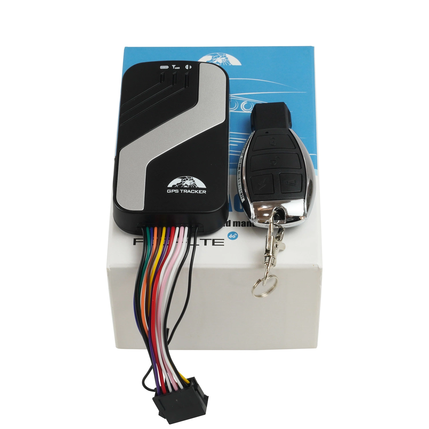


 Complaint

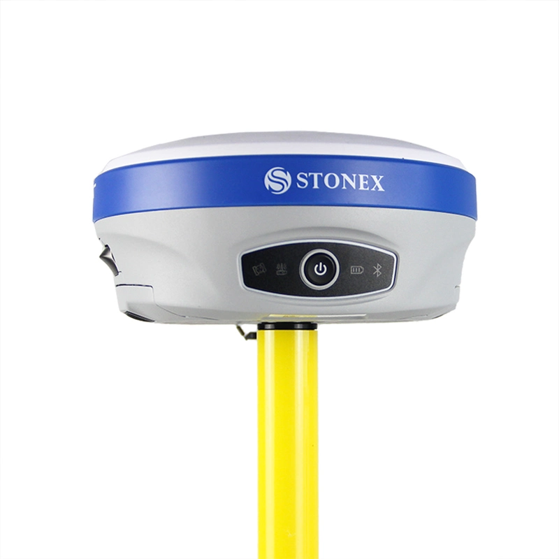
| GNSS performance | |
| Tracking frequency | GPS/QZSS: L1/L5 ;BeiDou : B1I/B2a GALILEO: E1/E5a ;GLONASS: G1(Optional) |
| Data update frequency | 1Hz/5Hz |
| Sensitivity | Track:-165dBm ;Recapture:-160dBm ;Capture sensitivity:-148dBm |
| Speed accuracy | 0.1m/s |
| First positioning time | Cold start:27s ;Hot Start :2s |
| RTK accuracy | Horizontal accuracy:1cm + 1ppm ;Elevation accuracy:2cm + 1ppm |
| Application limit | Speed:515m/s ;Height:18km |
| Data Format | NMEA 0183 |
| Physical Specifications | |
| Volume | 70×143×36mm |
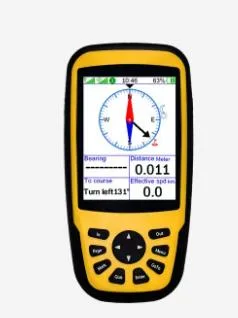
| Screen size | 3.2 Inch |
| Screen Resolution | 240*320 |
| Weight | 271 g |
| Shell material | ABS |
| Battery capacity | 6000mAh Lithium battery |
| Sensor | Electronic compass, accelerometer, barometer, thermometer |
| External interface | Type-C |
| Protection class | IP65 |
| Performance Specifications | |
| Battery life | 15H |
| Supported Differential Methods | NTRIP |
| Storage card | TF card, up to 128G, FAT32 file system |
| Bluetooth | Support Bluetooth 5.0, support SPP, BLE, HID and other profiles |
| Telecommunication | 4G/WIFI |
| Operating system | MTK |
| System language | Chinese/English/Korean |
| Operating environment | |
| Working temperature | -20ºC ~ 70ºC |
| Storage temperature | -20ºC ~ 70ºC |
| Waterproof and dustproof | The equipment can completely prevent dust from entering; The low-pressure spray from any angle of the equipment has no effect. |