
 Complaint

SPECIFICATIONS
| GNSS Characteristics | |
| Channels | 576 |
| GPS | L1, l 2, L2C, L5 |
| GLONASS | L1, L2 |
| Galileo | E1, E5a, E5b |
| BeiDou | B1, B2, B3 |
| SBAS | L1 |
| QZSS | L1, L2, L5 |
| GNSS Accuracies | |
| Real time kinematics (RTK) | Horizontal: 8 mm + 1 ppm RMS Vertical: 15 mm + 1 ppm RMS Initialization time: < 10 s Initialization reliability: > 99.9% |
| Post-processing kinematics (PPK) | Horizontal: 3 mm + 1 ppm RMS Vertical: 5 mm + 1 ppm RMS |
| Post-processing static | Horizontal: 3 mm + 0.5 ppm RMS Vertical: 5 mm + 0.5 ppm RMS |
| Code differential | Horizontal: 0.4 m RMS Vertical: 0.8 m RMS |
| Autonomo us | Horizontal: 1.5 m RMS Vertical: 3.0 m RMS |
| Positioning rate | Up to 10 Hz |
| Time to first fix*31 | Cold start: < 45 s Hot start: < 10 s Signal re-acquisition: < 1 s |
| Hardware | |
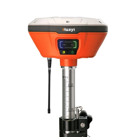
| Size (L x W x H) | 140 mm x 130 mm x 106 mm (5.5 in x 5.1 in x 4.2 in) |
| Weight | 1.29 kg(2.8lb) |
| Environment | 1.29 kg (2.8 lb) Operating: -40 °C to +65 °C (-40 °F to +149 °F) Storage: -40 °C to +75 °C (-40 °F to +167 °F) |
| Humidity | 95% |
| Ingress protection | IP67 waterproof and dustproof, protected from temporary immersion to depth of 1 m |
| Shock | Survive a 2-meter pole drop |
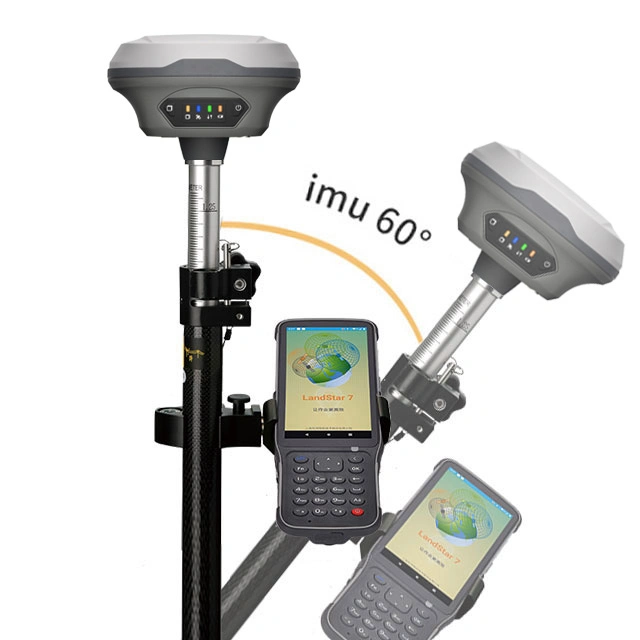
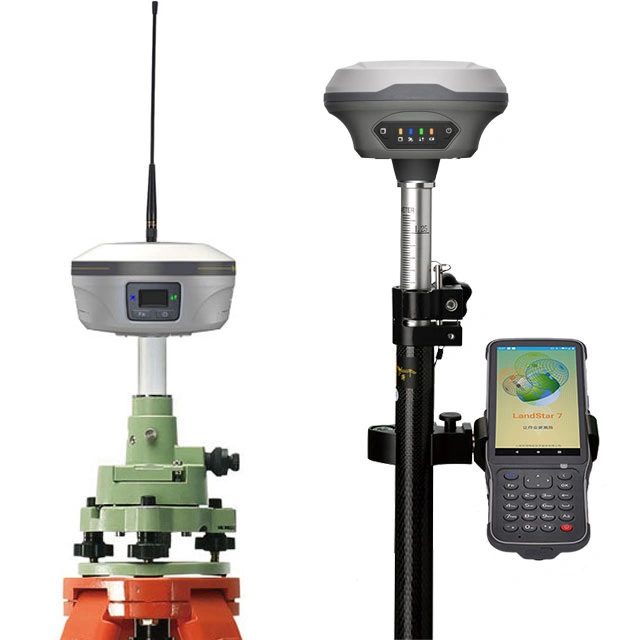
| Tilt sensor | EBubble leveling |
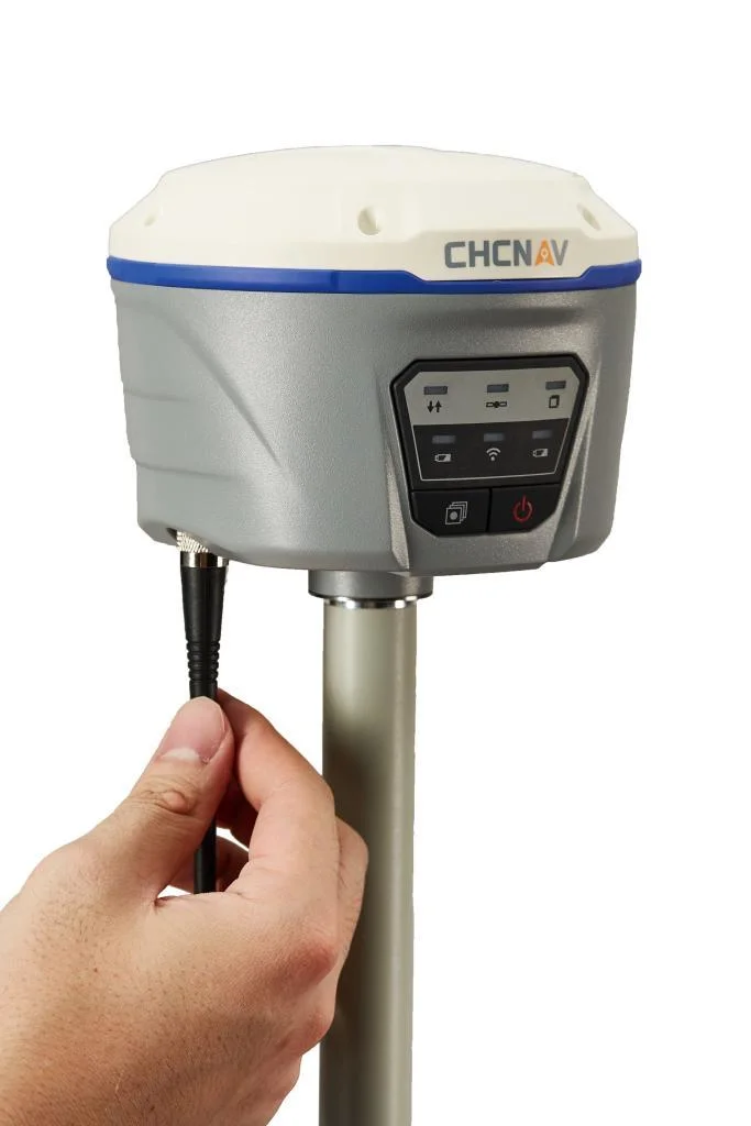
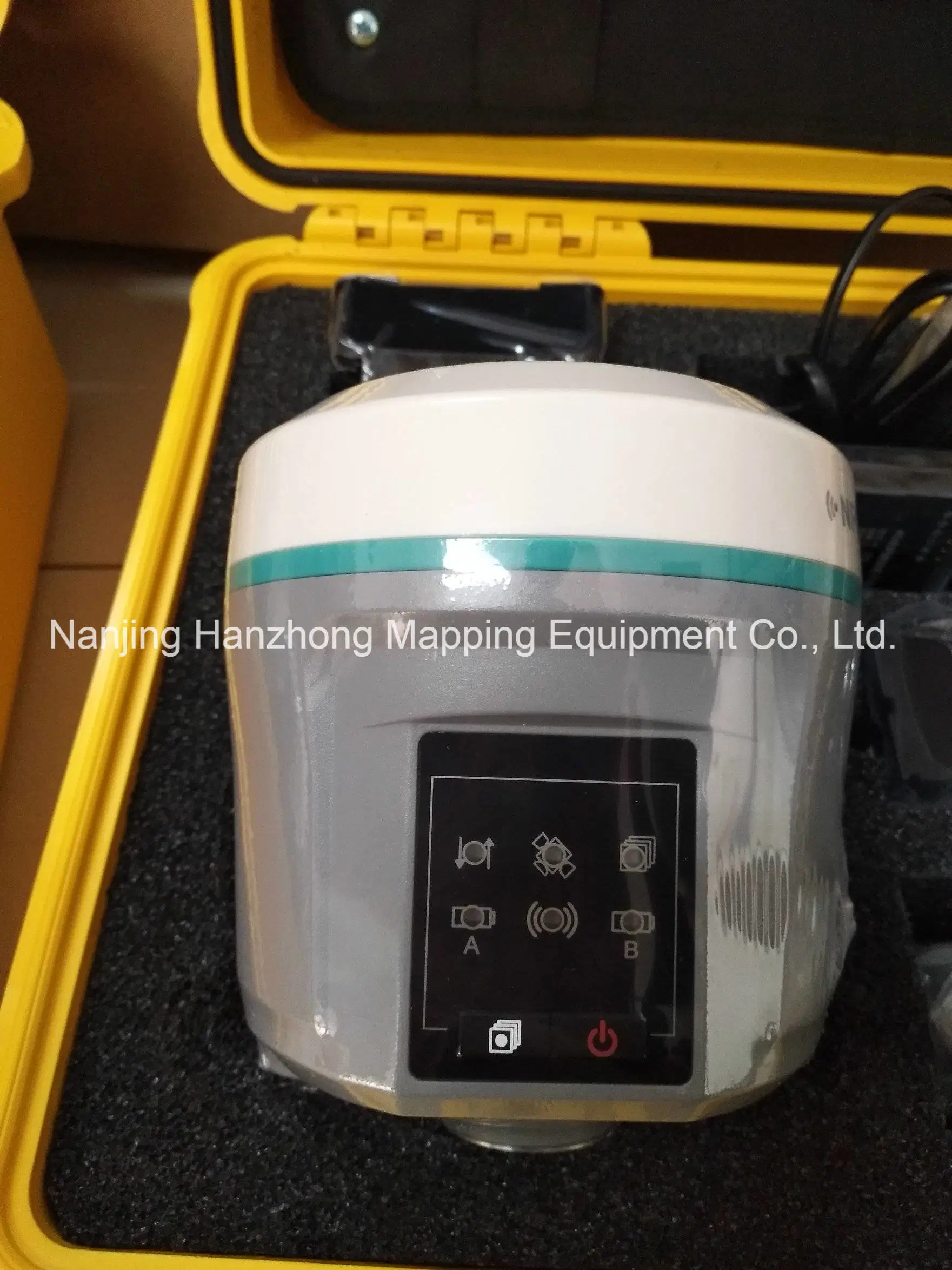
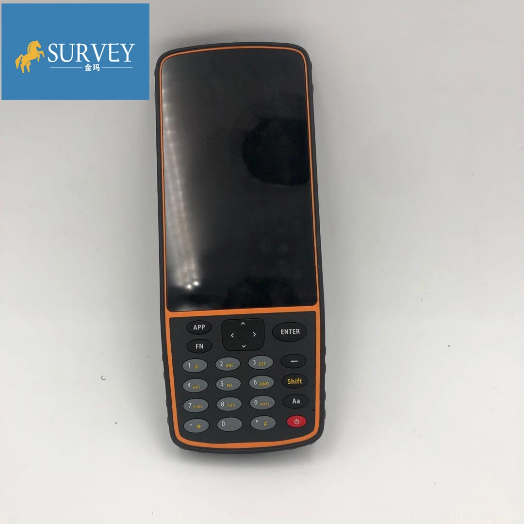
| Front panel | 6 status LED |
| Certifications | |
| CE MARK | |
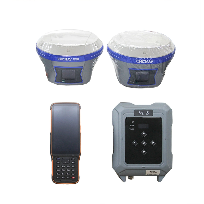
| Communications And Data Storage | |
| Network modem | Integrated 4G modem LTE (FDD): B1, B2, B3, B4, B5, B7, B8, B20 DC-HSPA+/HSPA+/HSPA/UMTS: B1, B2, B5, B8 EDGE/GPRS/GSM |
| 850/900/1800/1900 MHz | |
| Wi-Fi | 802.11 b/g/n, access point mode |
| Bluetooth® | v4.1 |
| Ports | 1 x 7-pin port (external power, RS-232) 1 x USB 2.0 port (data download, firmware update) 1 x UHF antenna port (TNC female) |
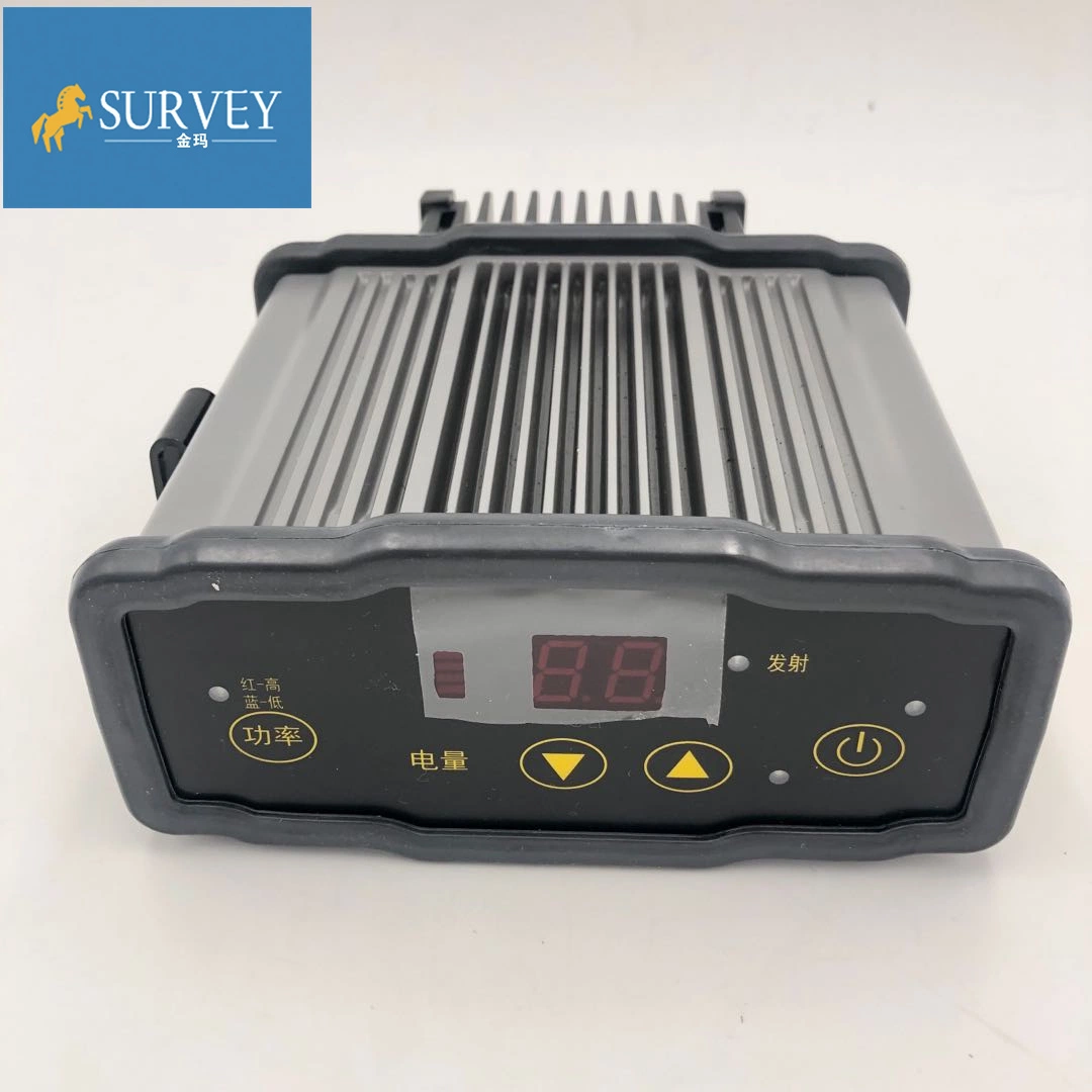
| UHF radio | Standard Internal Rx/Tx: 410 MHz to 470 MHz |
| Transmit Power: 0.5 W to 2 W | |
| Protocol: CHC, Transparent, TT450 | |
| Link rate: 9600 bps to 19200 bps | |
| Range: Typical 3 km to 5 km | |
| Data formats | RTCM 2.x, RTCM 3.x, CMR input and output HCN, HRC, RIN EX 2.11, 3.02 NMEA0183 output NTRIP Client, NTRIP Caster |
| Data storage | 8 GB internal memory |
| Electrical | |
| Power consumption | 4.2 W (depending on user settings) |
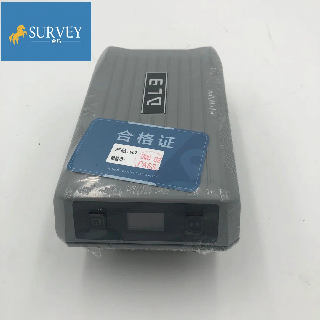
| Li-ion battery capacity | 2 x 3400 mAh, 7.4 V |
| Operating time on internal battery*4* | UHF receive/transmit (0.5 W): 5 h to 7 h |
| Cellular receive only: up to 10 h | |
| Static: up to 12 h | |
| External power input | 9 V DC to 36 V DC |
Service
2.All our products have one year warranty, And we sure the products will be free from maintenance within warranty period.
3.All products will have been strictly quality checked in factory before sending out.
We accept payment by TT,Paypal, West union.
If you'd like other payment method, Pls let us know before the order
Delivery / shippment :
1.Usually, we will send out the products within 3-5 working days after the payment confirmed
2.Before shipment, pls supply the following information to us :
Contact person or company name,Detail address,Telephone No,Zipcode
3.The buyer are responsible for the tax and/or duty charged by their country.
Return and warranty:
1.All products are inspected before shipment, if you are not satisfactory with the purchase,you can exchange the items in one week,and you must contact us within 24 hour of receipt of the products.
2.The shipping charges are not refundable and the customer should be responsible for all the charges of return and reshipping.
3.For our majority products (Auto level, Theodolite, Total Station) we are offing 1 year warranty;
4.For small issues like missing or damaged part, key board, please send us the photos, we will send the required part and related instructions to you for free;
5. For big issues in one year warranty like EDX board, main board issue. We could only ask you to send the instrument back to us. Normally we will have it fixed in 10 working days and send back to you. You and we shall take care of the corresponding shipping cost on each side. For big issues out of one year warranty, the customer should be responsible for all the cost.