 Complaint

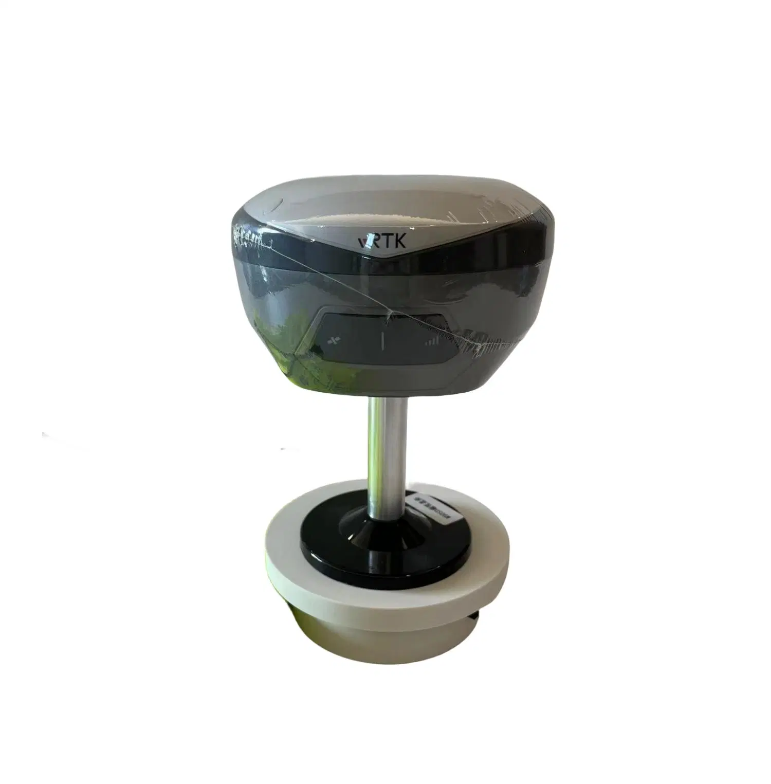
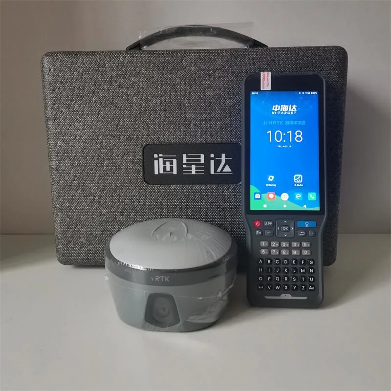
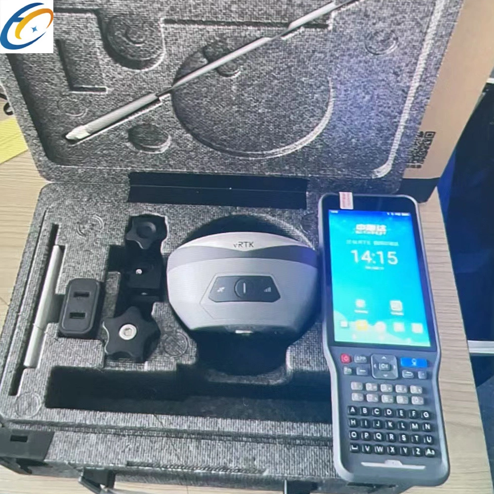
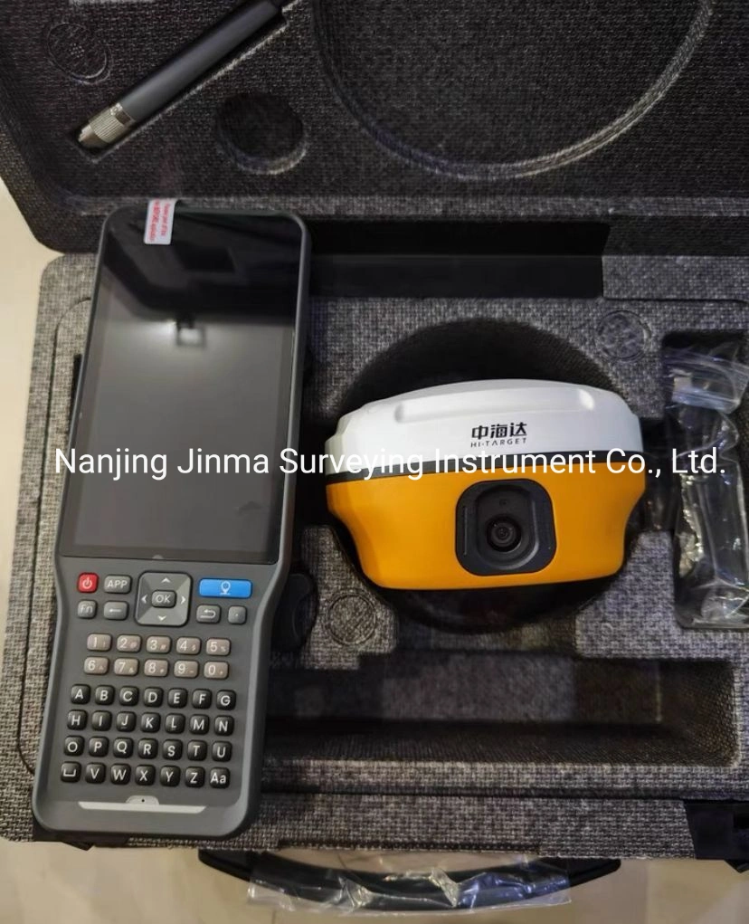
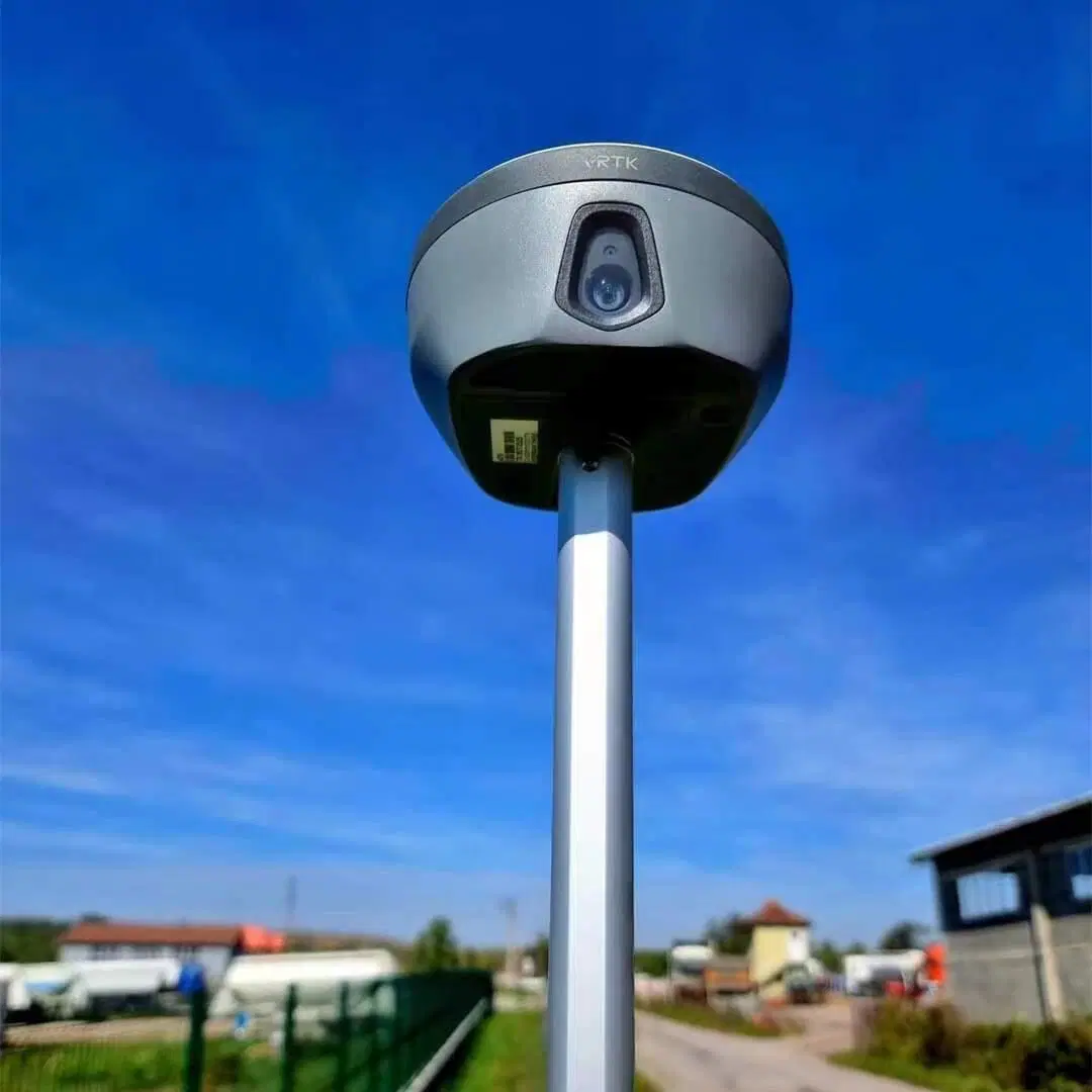
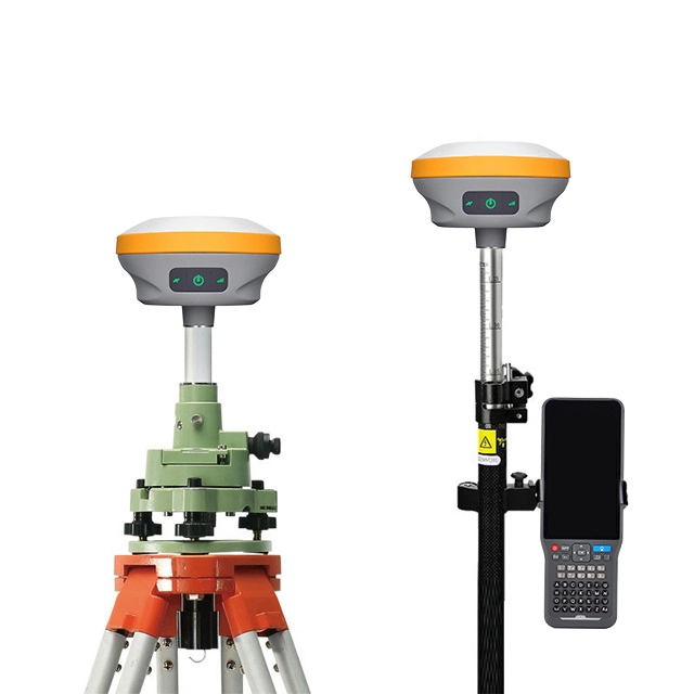
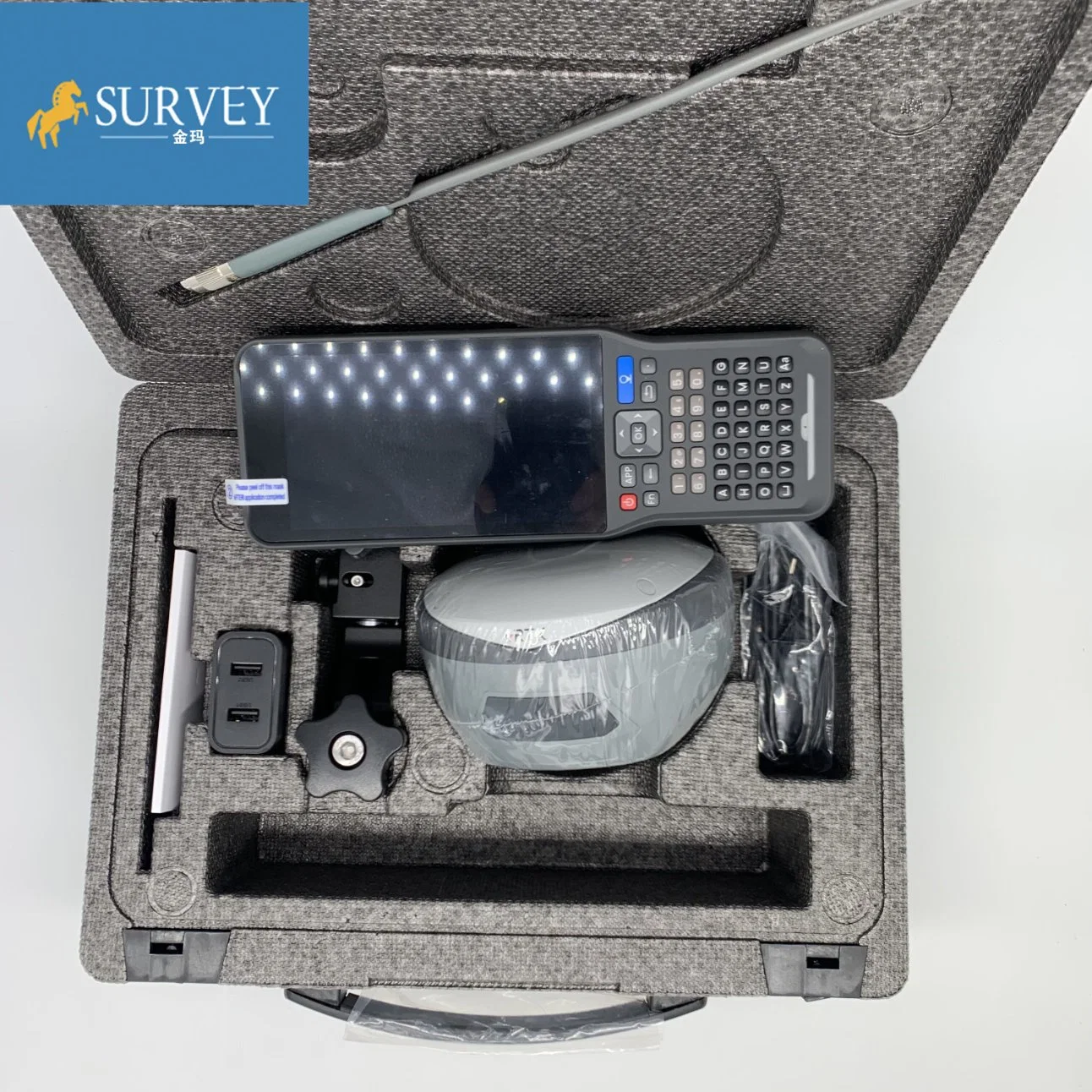
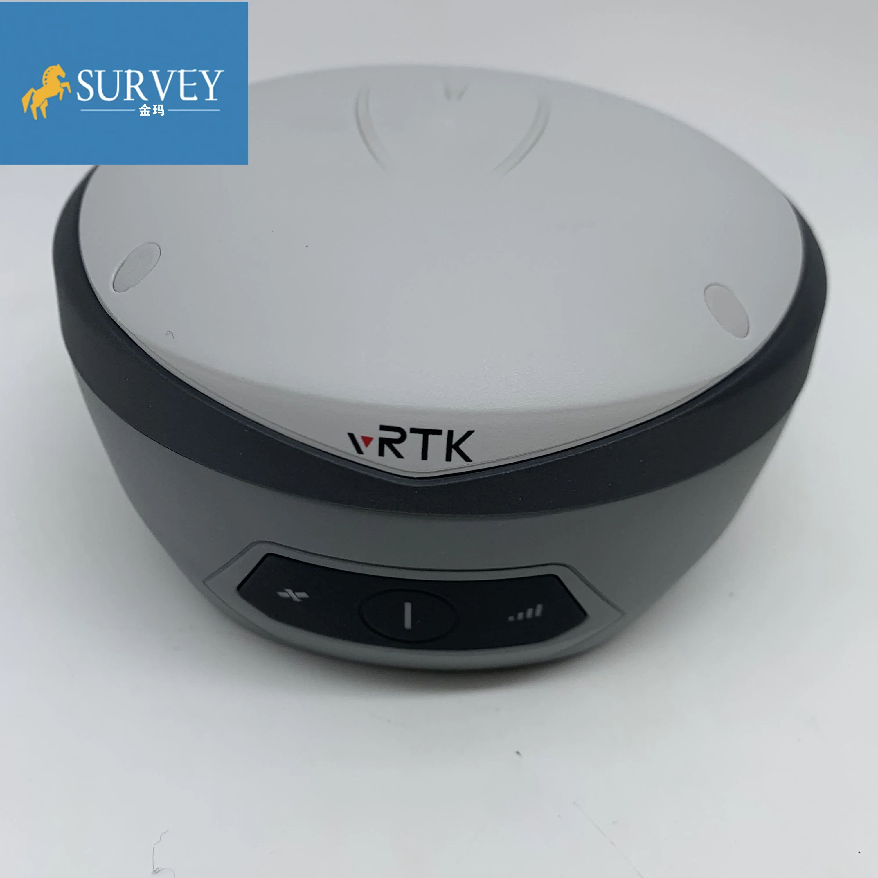
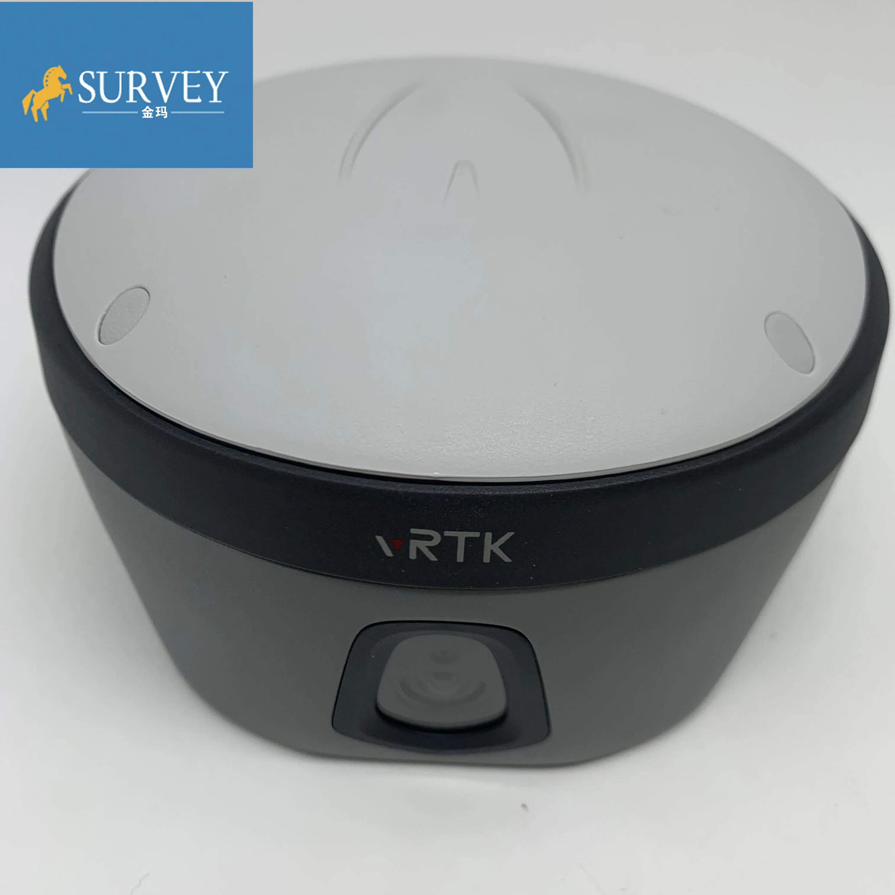
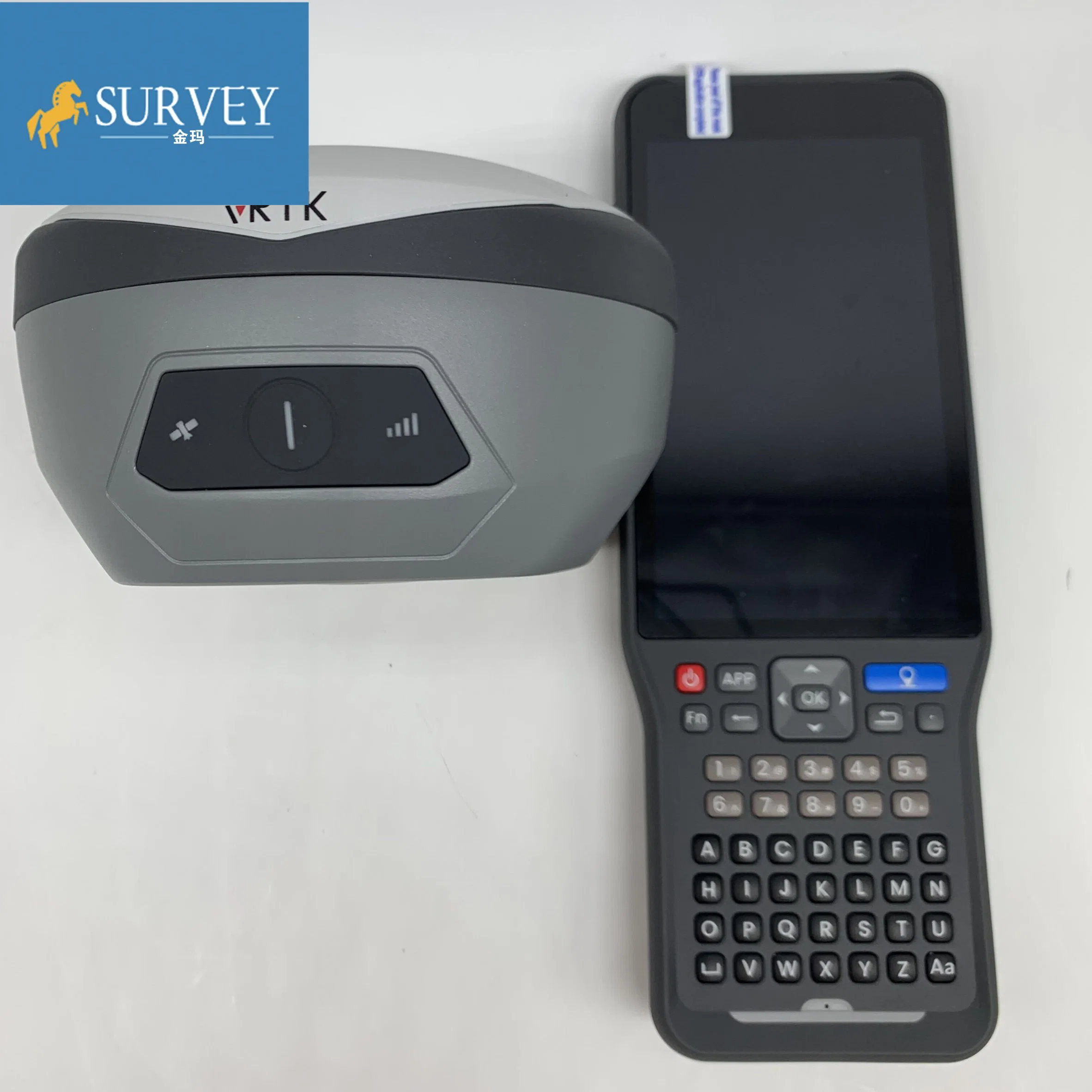
*The New IMU GNSS RTK with Visual Positioning Technology
| VRTK specification | ||
| Channels | 1408 | |
| Satelite Tracked | GPS:L1C/A/ L1C/ L2P/L2C/L5 | |
| BeiDou:B1l/ B2l/ B3l//B1C/B2a/B2b | ||
| GLONASS: L1/L2 | ||
| Galileo:E1/ E5 AltBOC/E5a/E5b/E6 | ||
| QZSS:L1/L2/L5/L6 | ||
| SBAS: L1/ /L2/L5 | ||
| IRNSS:L5 | ||
| Camera | 2MP&5MP | |
| Support real scene lofting, impact measurement, operating distance of 2-15m | ||
| Image lofting accuracy | Typical accuracy: 2cm | |
| Accuracy of image measurement | 2cm-4cm | |
| Static and Fast static Gnss Surveying | ||
| Horizontal | ± (2.5+0.5× 10⁻⁶d) mm (D is the distance between measured points) | |
| Vertical | ± (5+0.5× 10⁻⁶d) mm (D is the distance between measured points) | |
| Post Processing Kinematic (PPK / Stop & Go ) GNSS Surveying | ||
| Horizontal | 8mm+1ppm RMS | |
| Vertical | 15mm+1ppm RMS | |
| Initialization time | Typically 10 min for base while 5 min for rover | |
| Initialization reliability | typically > 99.9% | |
| High-precision static GNSS Surveying | ||
| Horizontal | ±(8+1×10¯6D)mm (D is the distance between measured points) | |
| Vertical | :±(15+1×10¯6D)mm D is the distance between the measured points | |
| Code Differential GNSS Positionnig | ||
| Horizontal | ±0.25m + 1 ppm RMS | |
| Vertical | ±0.25m + 1 ppm RMS | |
| SBAS | ||
| Positioning accuracy | 0.50m Horizontal, 0.85m Vertical | |
| Real Time Kinematic (RTK) | ||
| Single Base | Horizonta:8mm+1ppm RMS | |
| Vertica:15mm+1ppm RMS | ||
| Network RTK | Horizonta:8mm+0.5ppm RMS | |
| Vertical:15mm+0.5ppm RMS | ||
| Initialization time:Typically <10s | ||
| Initialization reliability:Typically > 99.9% | ||
| Communication | ||
| Internal UHF Radio | Frequency: 410-470MHz | |
| Channels:116 (16 adjustable) | ||
| Transmitting power:0.5W,1W,2W | ||
| agreement:Hi-Target, Trimtalk450S, trimmarkIII, Transeot, SATEL-3AS,South,CHC,ect | ||
| Working Range:3-5km typical, 8-10km optimal | ||
| HI-TARGET External UHF Radio(HDL460A) | Frequency: 403-473MHz | |
| Transmitting speed:Up to 19.2Kbps,9.6kbps adjustable | ||
| Channels:116 (16 adjustable) | ||
| 10W/30W adjustable | ||
| Working Range:8~10km typical,15~20km optimal | ||
| IMU(Tilt Survey) | Built-in high-precision inertial navigation, automatic attitude compensation, no correction, anti-magnetic interference, instant measurement at the point of arrival; | |
| Network Communication | ||
| Full band support for cellular mobile network(LTE, WCDMA, EDGE, GPRS, GSM) 2.4GHz WIFI, supports 802.11b/g/n. Network RTK (in CORS) range is 20-50km | ||
| Physical | ||
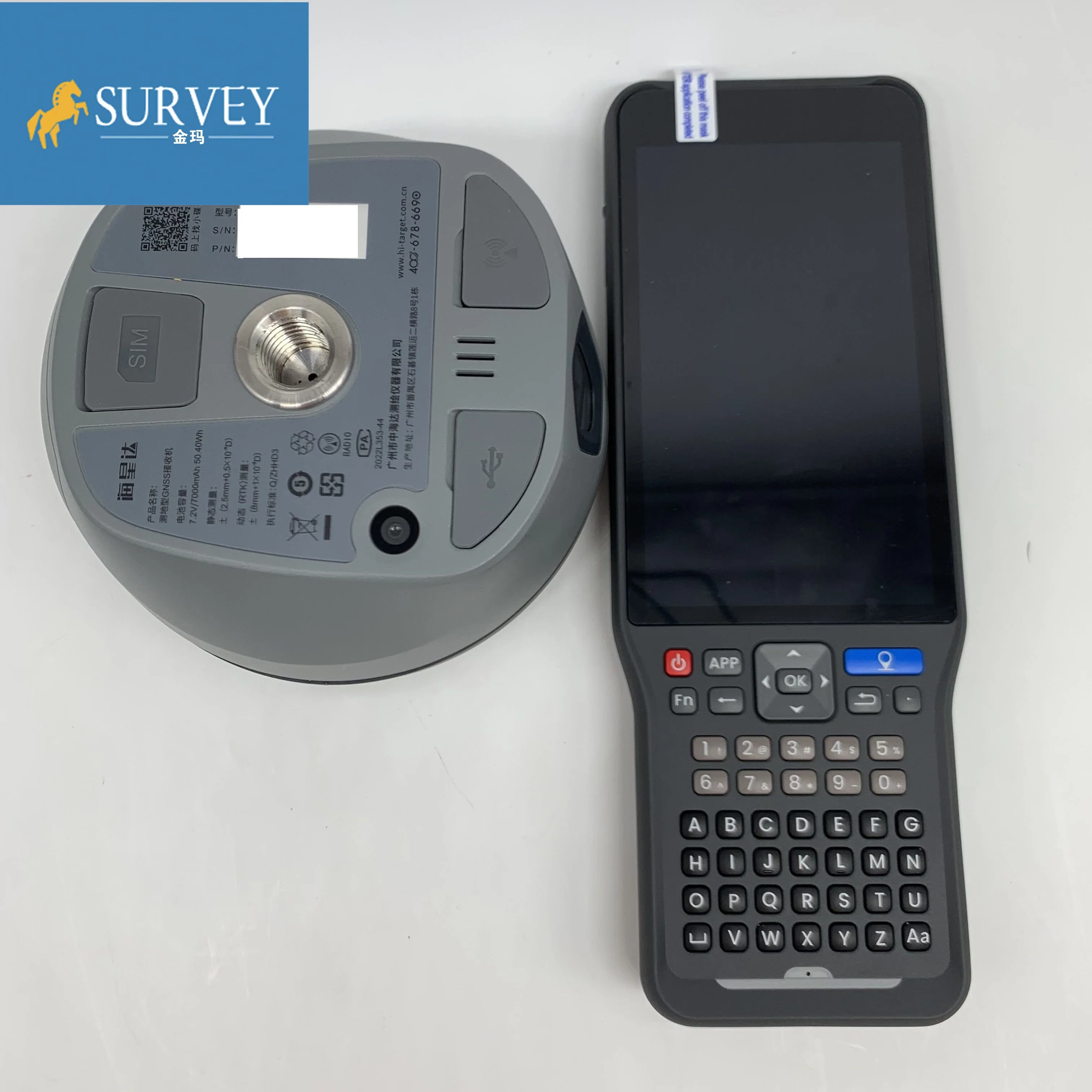
| Dimensions(W×H) | 130mm*80mm | |
| Weight | ≤0.97kg (includes battery) | |
| Shock and vibration | Designed to survive a 2m(9.84ft) natural fall onto concrete | |
| Water/Dustproof | IP68 | |
| Humidity | 100% condensing | |
| Operation temperature | -45ºC~+75ºC | |
| Storage temperature | -55ºC~+85ºC | |
| Bluetooth | 2.1+4.0 | |
| NFC | NFC flash even | |
| A serial port | RS232 serial port | |
| Control Panel | Physical button | |
| Energy consumption and working hours | ||
| Electrical | Power 6V to 28V DC external power input | |
| Power consumption≤4.2W | ||
| Built-in high-capacity lithium battery 7000mAh/7.4V, support USB PD3.0 super fast charging, charging time <3.5h | ||
| Internal Battery Life | Static more than 10 hours | |
| RTK rover (UHF/GPRS/3G)6-10 hours | ||
| RTK base more than 10 hours | ||
| Data Formats | ||
| 1Hz positioninng Output, up to 50Hz. CMR, RTCM2.X, RTCM3.0, RTCM3.1, RTCM3.2. Navigation outputs ASCII NMEA-0183, GSV, AVR, RMC, HDT, VGK, VHD, ROT, GGK, GGA, GSA,ZDA, VTG, GST, PJT, PJK, BPQ, GLL, GRS, GBS, Binary: Trimble GSOF, NMEA2000 | ||
1. how long we guarantee quality?
Our main products like Auto level, Theodolite, Total Station,Gnss rtk have one year warranty, And we sure the products will be free from maintenance within warranty period If it is not man-made damage,and accessories with 6 month warranty
2.what can you buy from us?
Auto/digital level, Theodolite, Total Station,Gnss rtk,Laser level,Laser distance meter, drone ,3D scanner, Echo sounder and surveying accessories like tripods,ranging pole,prism,bipod .etc
3.what repair service can we provide if products got problem?
For small issues like missing or damaged part, key board, please send us the photos, we will send the required part and related instructions to you for free;
For big issues in one year warranty like EDX board, main board issue. We could only ask you to send the instrument back to us. Normally we will have it fixed in 10 working days and send back to you. You and we shall take care of the corresponding shipping cost on each side. For big issues out of one year warranty, the customer should be responsible for all the cost.
4,what payment term we support?
TT, Paypal, Western union,L/C,Pay in cash
5, How will we prepare before shipment?
All products will have been strictly quality checked in factory before sending out.Usually, we will send out the products within 3-5 working days after the payment confirmed and the buyer are responsible for the tax and/or duty charged by their country.